|
|
|
|
MARI News Press Releases Blogs&Lists About Us Newsletter Disclaimers |
FLOODINGS
Here we collect documentation on frequent “nuisance floodings” in Norfolk.
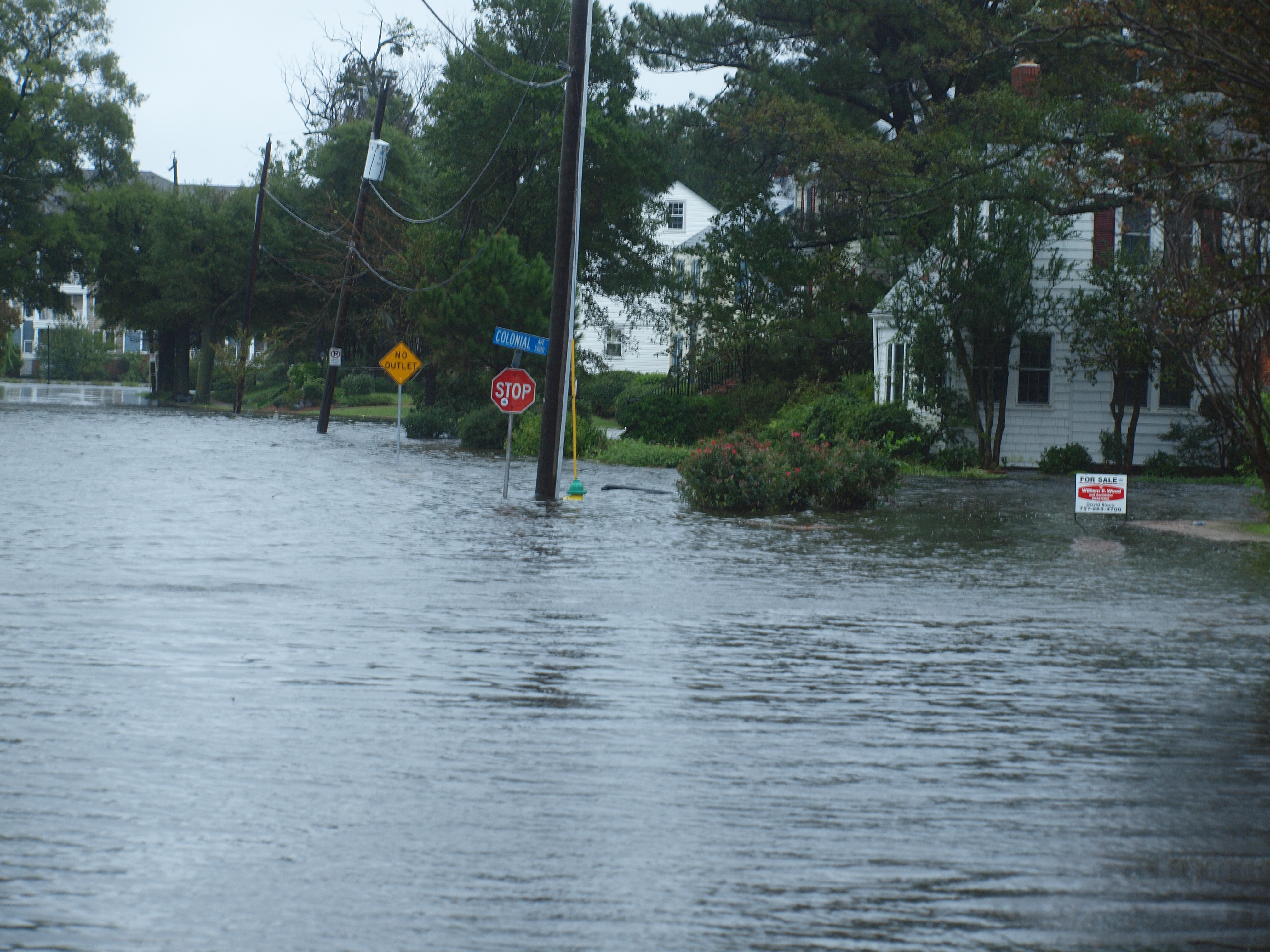
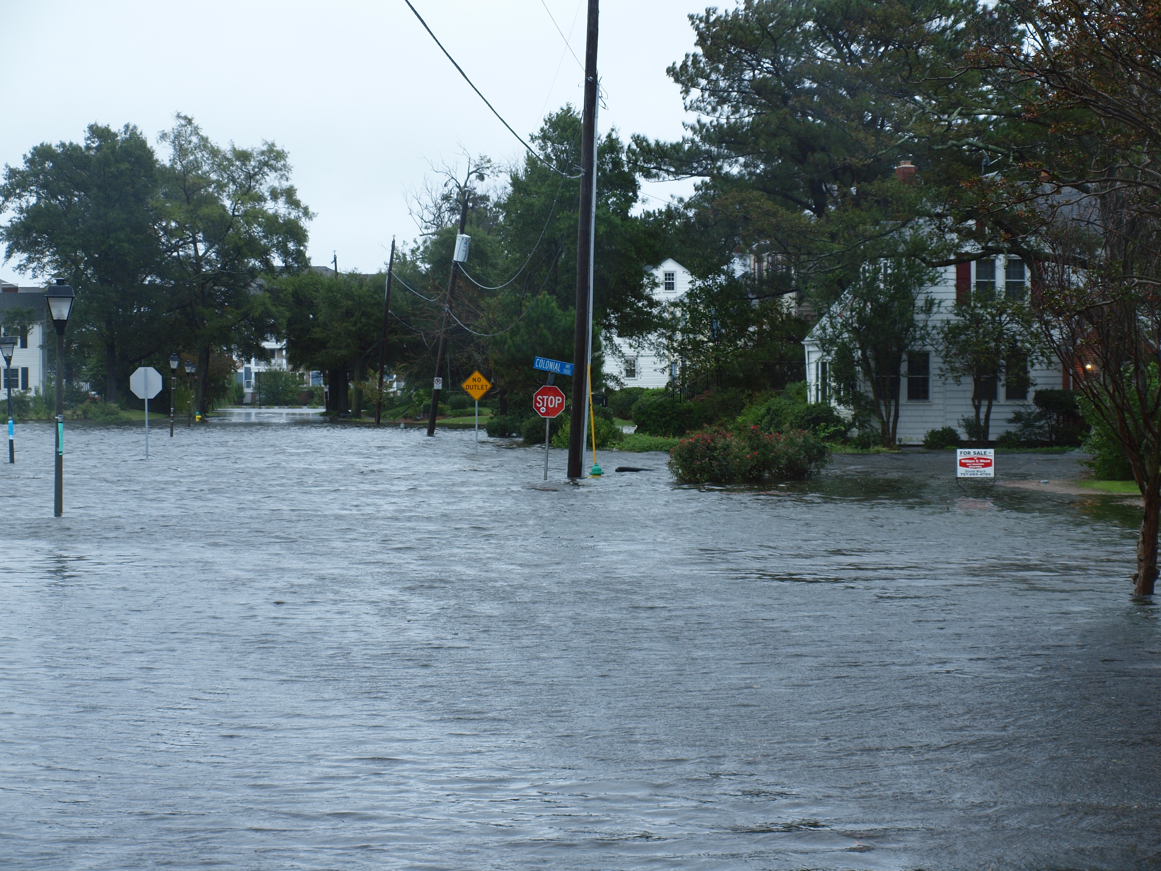
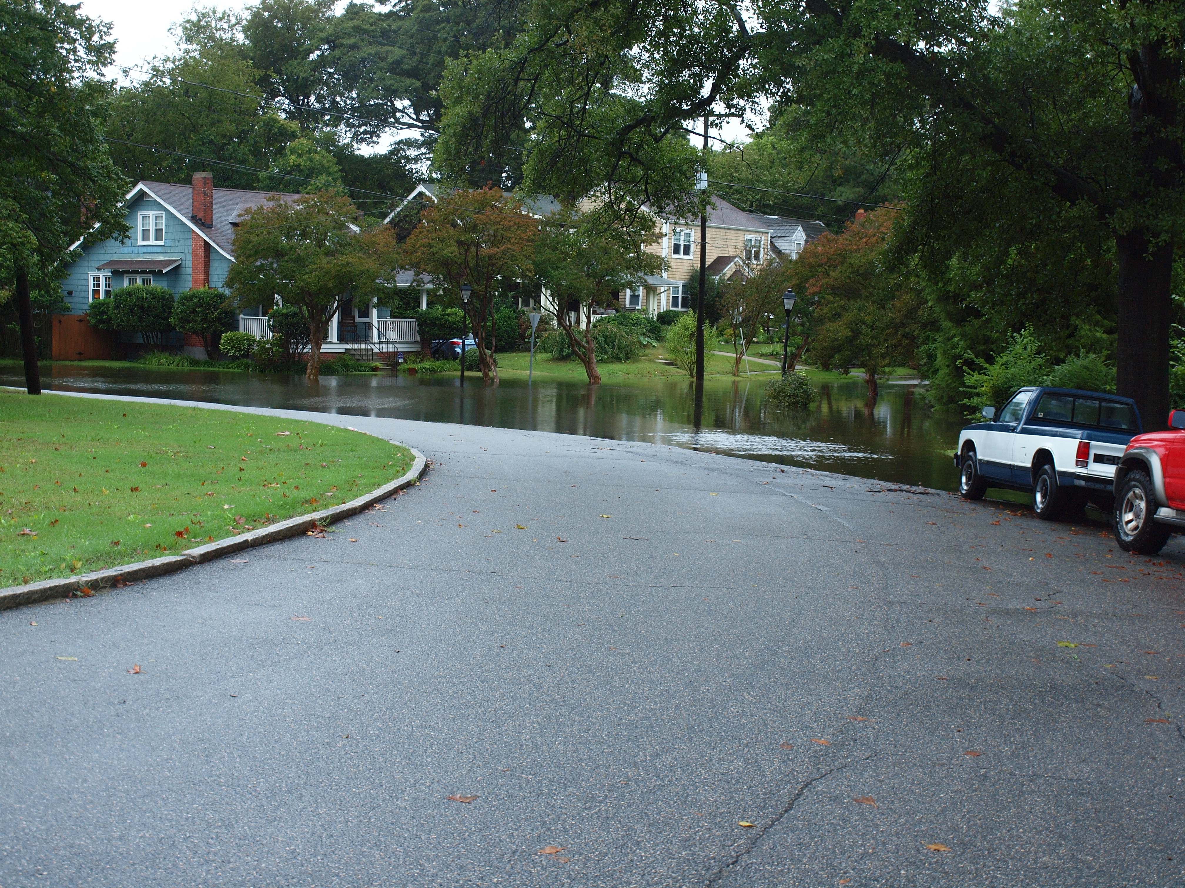
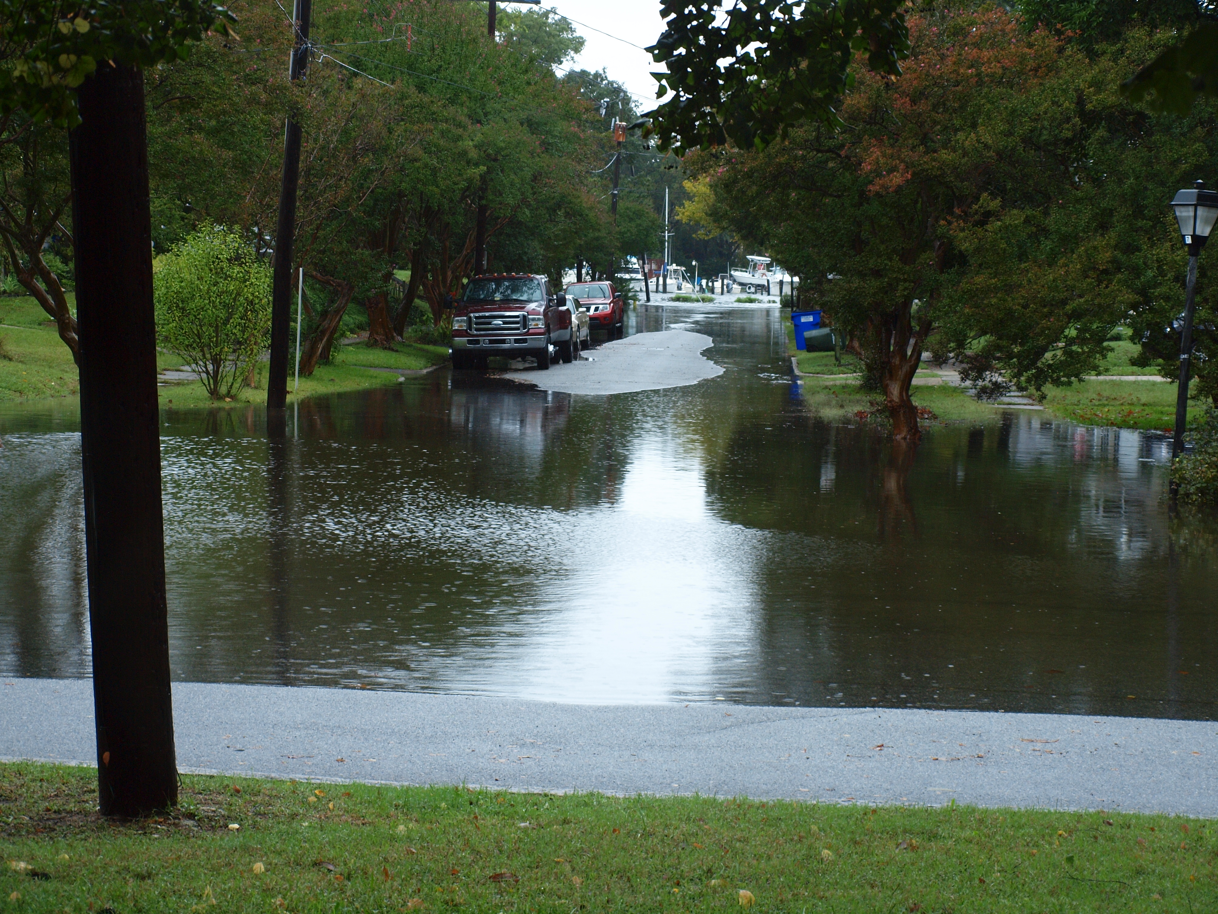
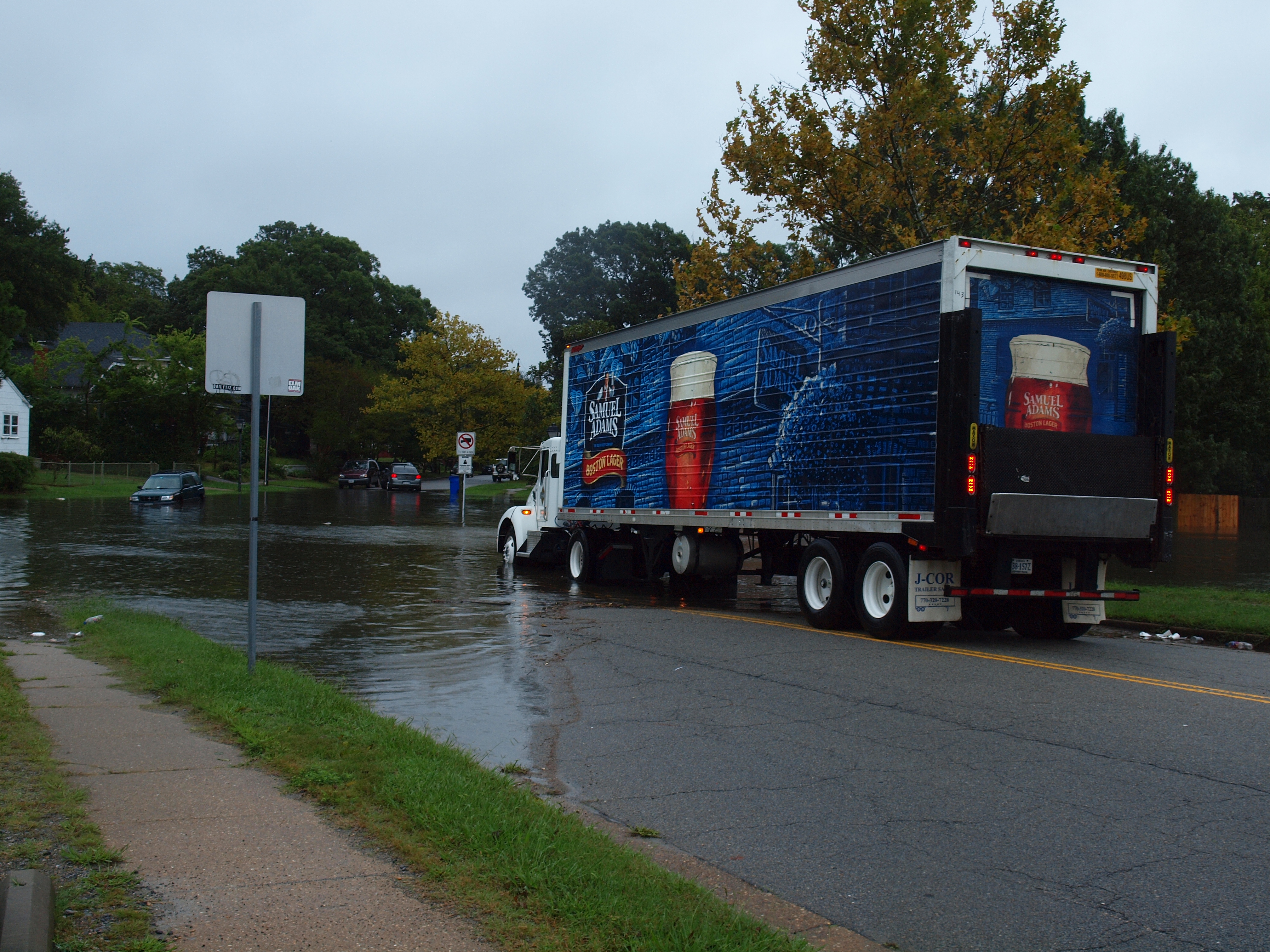
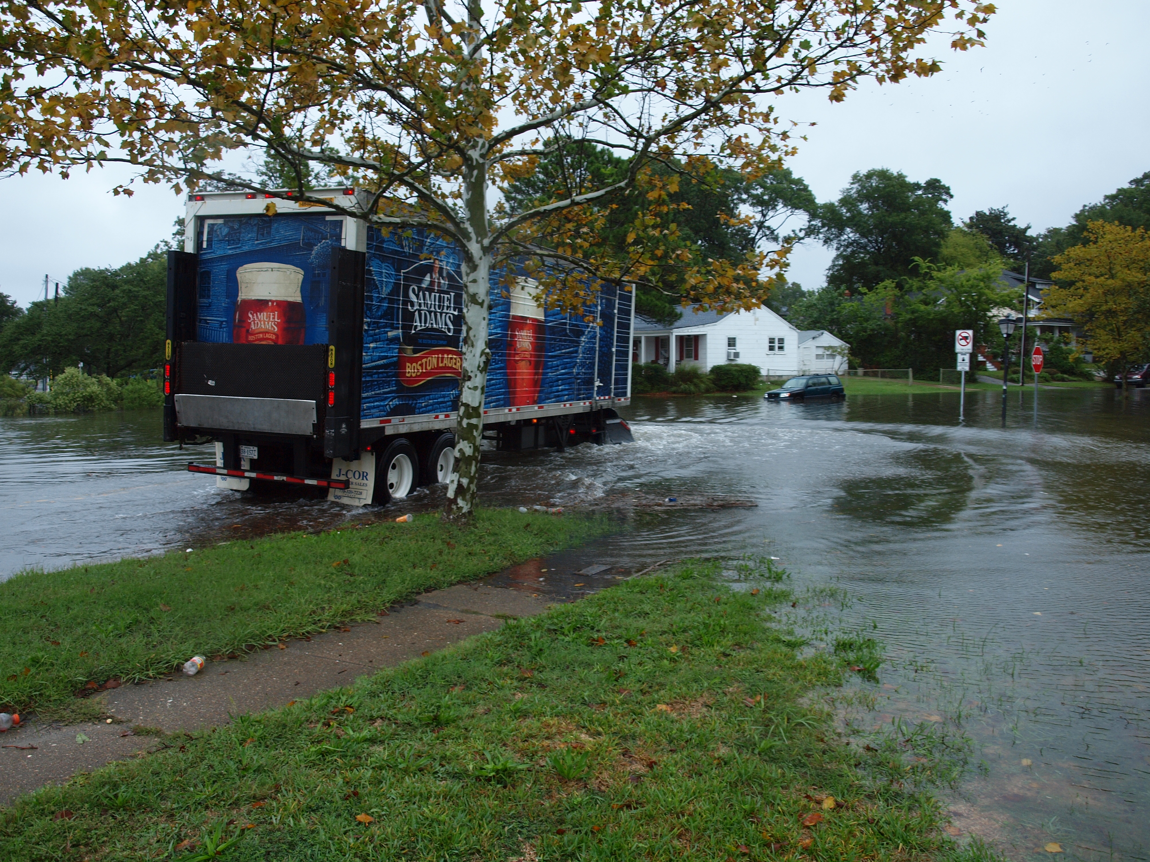
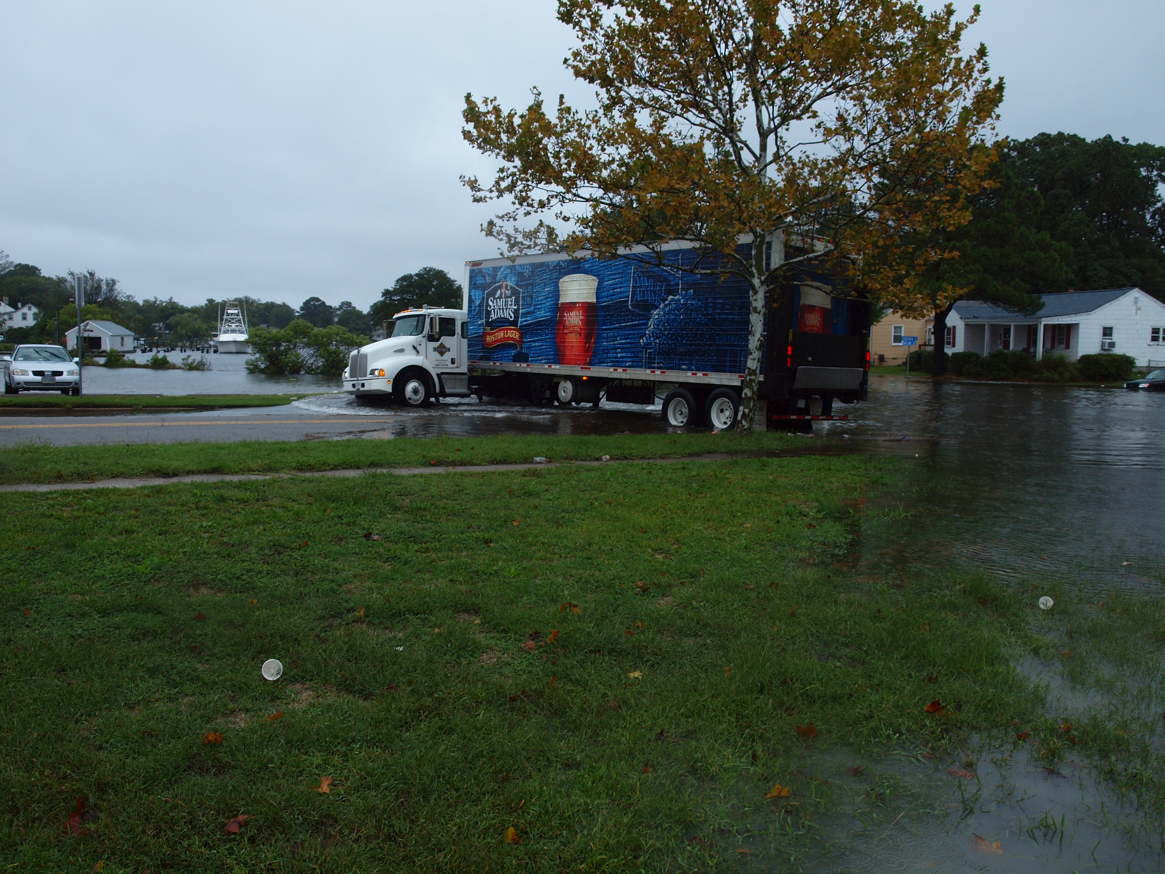
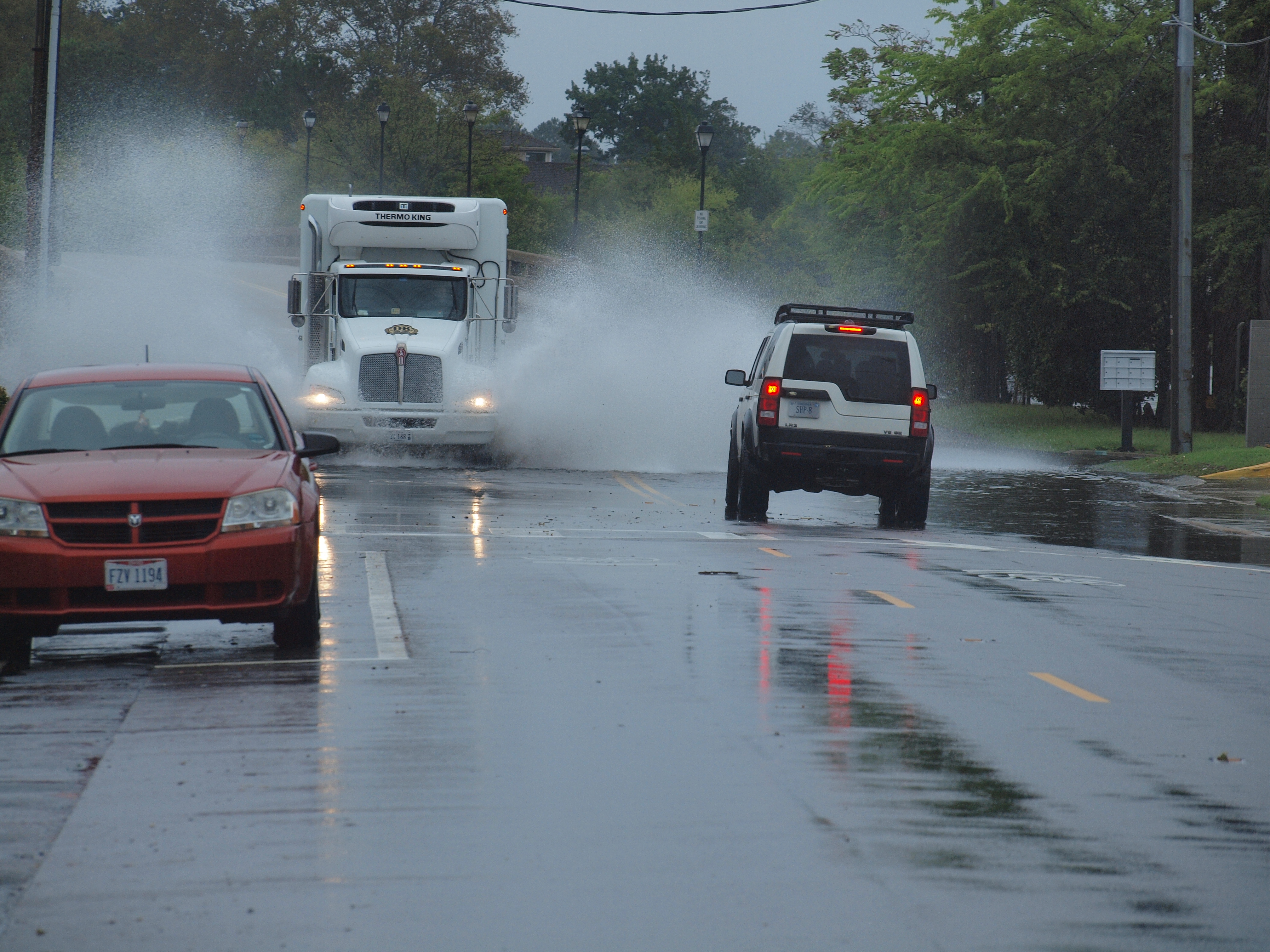
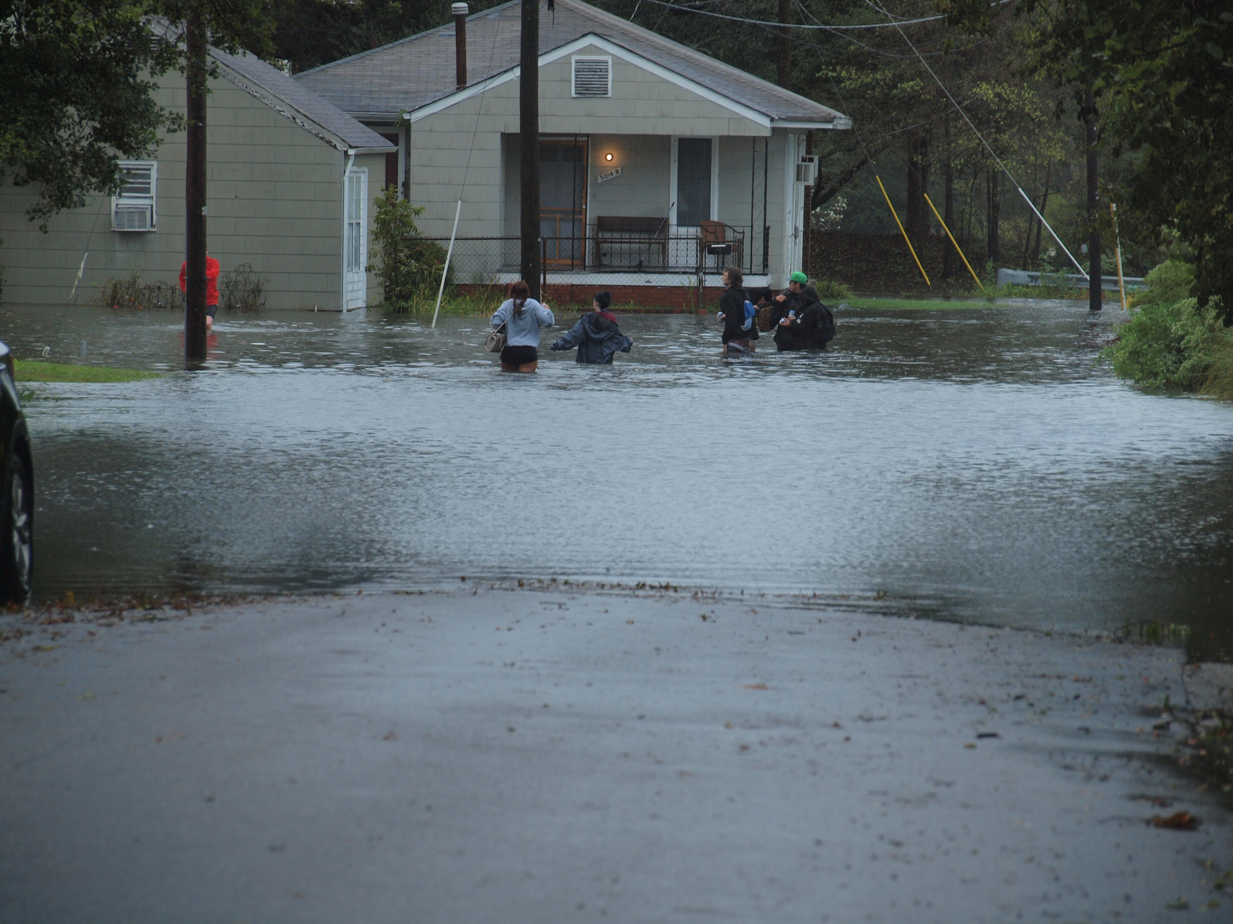
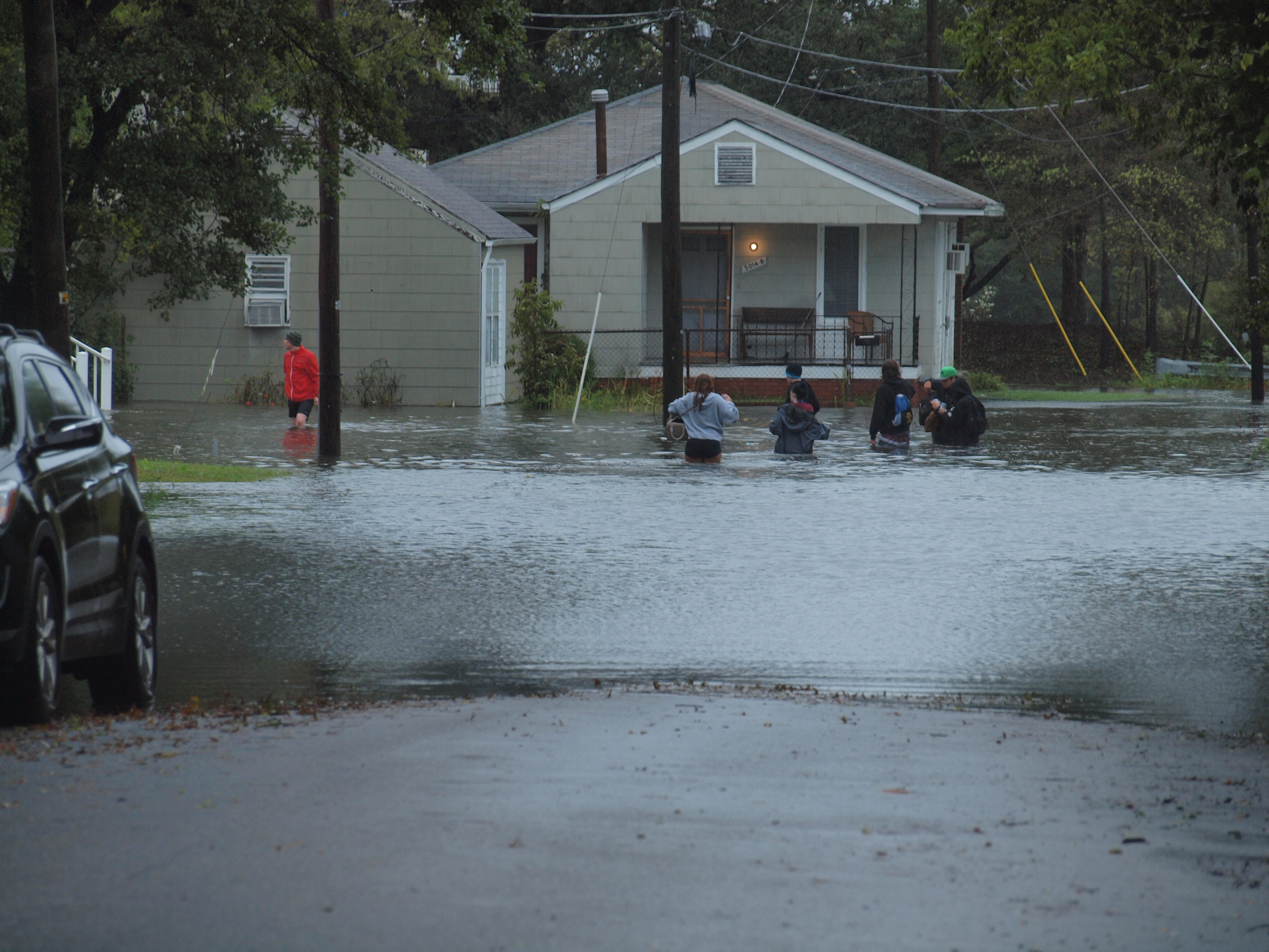
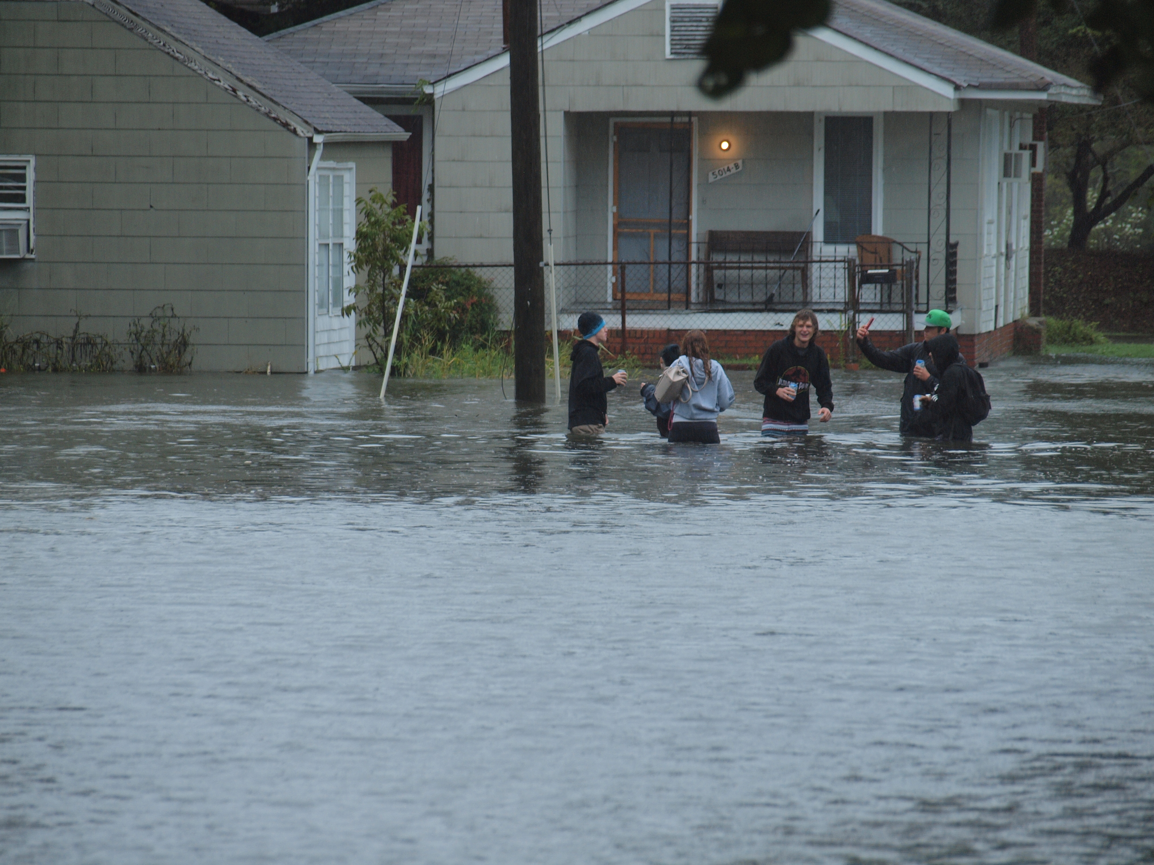
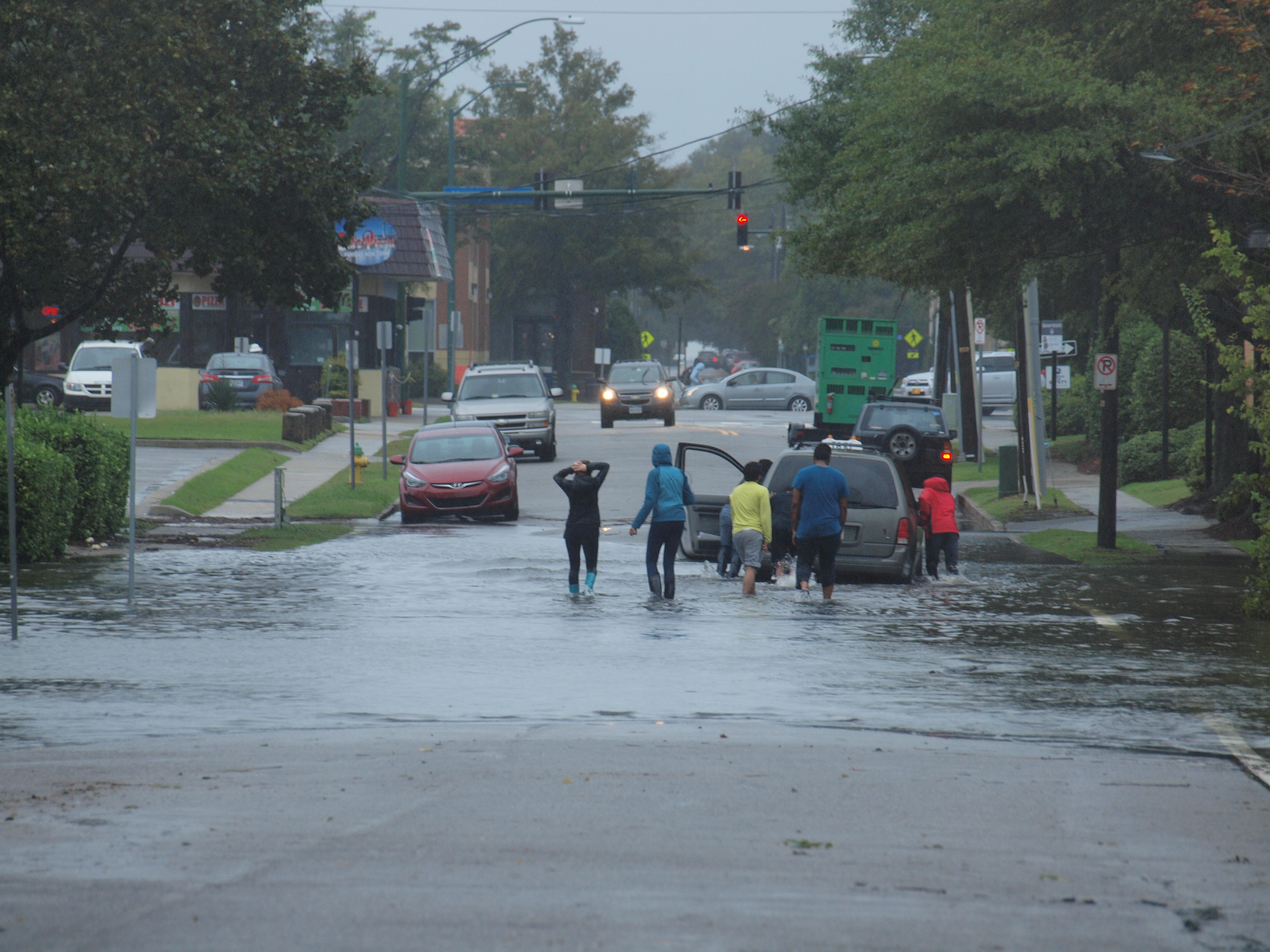
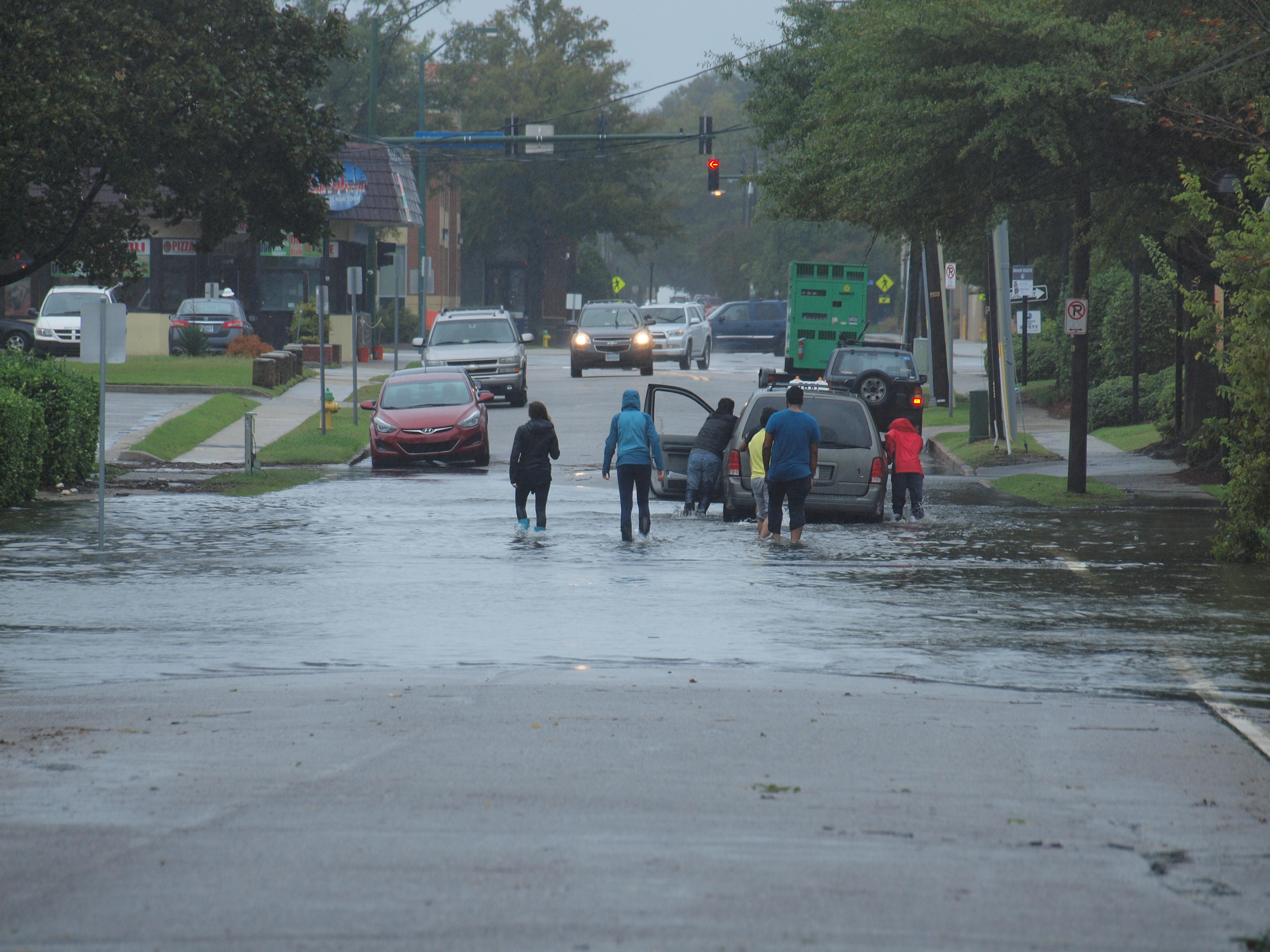
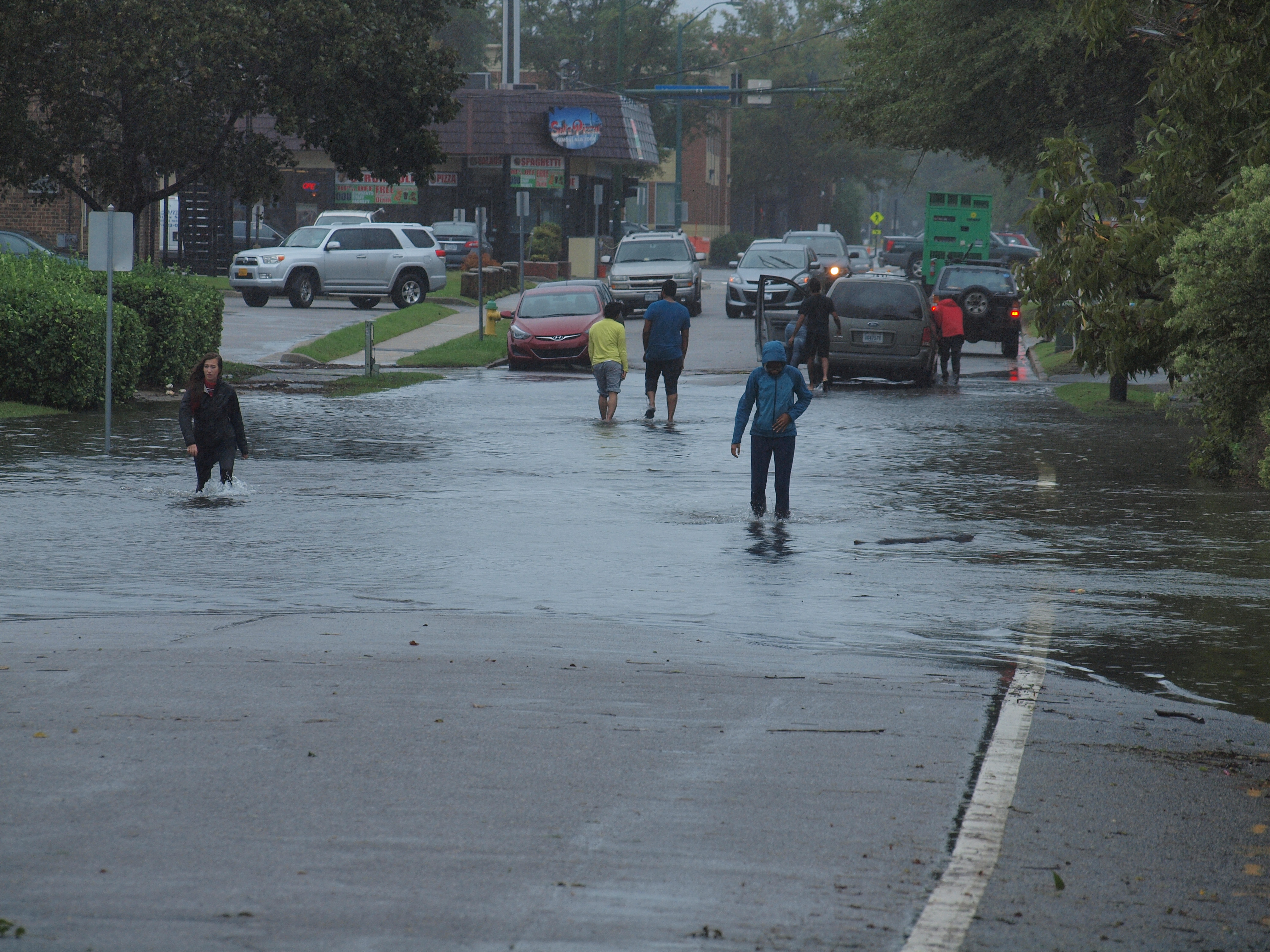
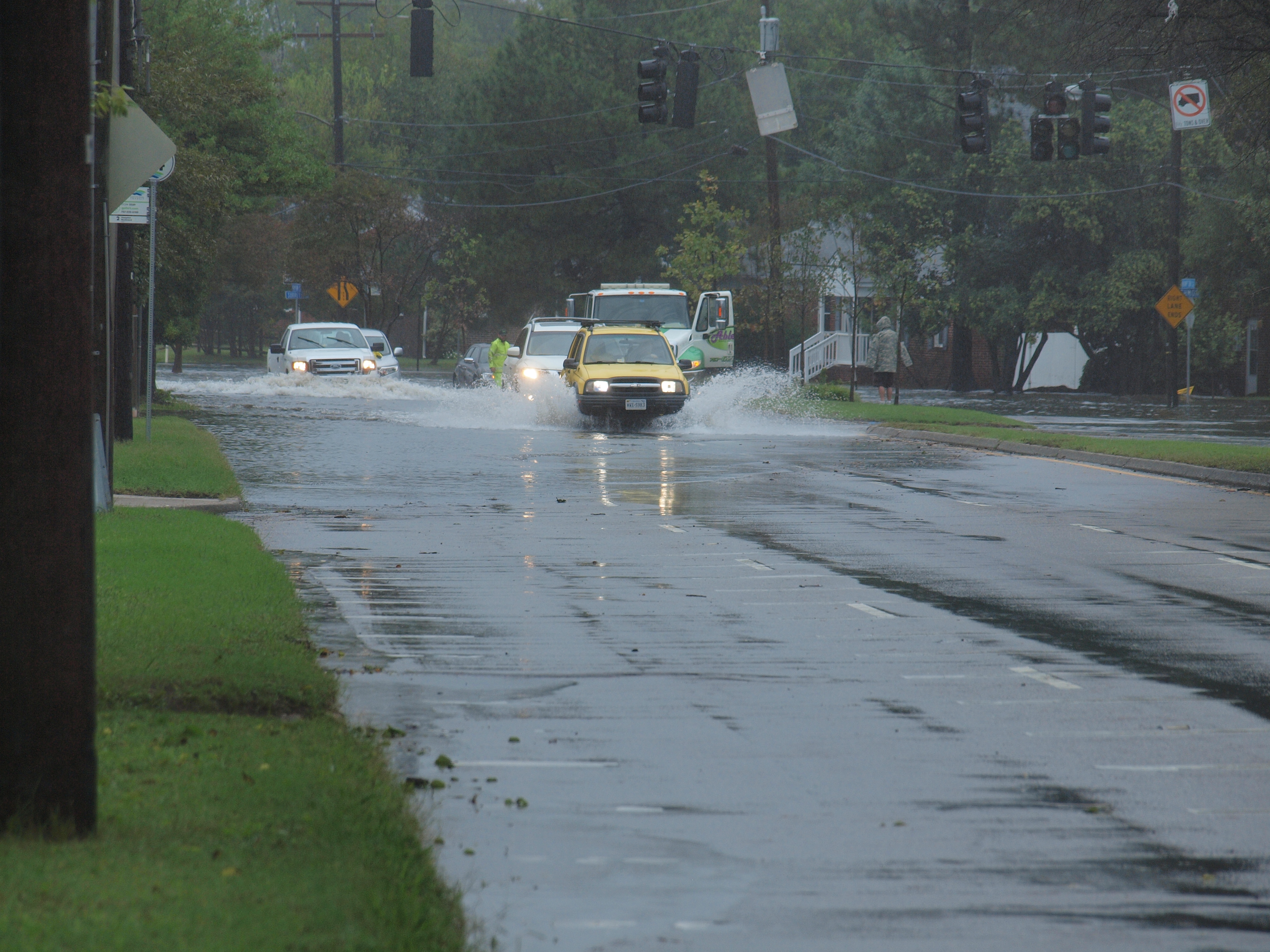
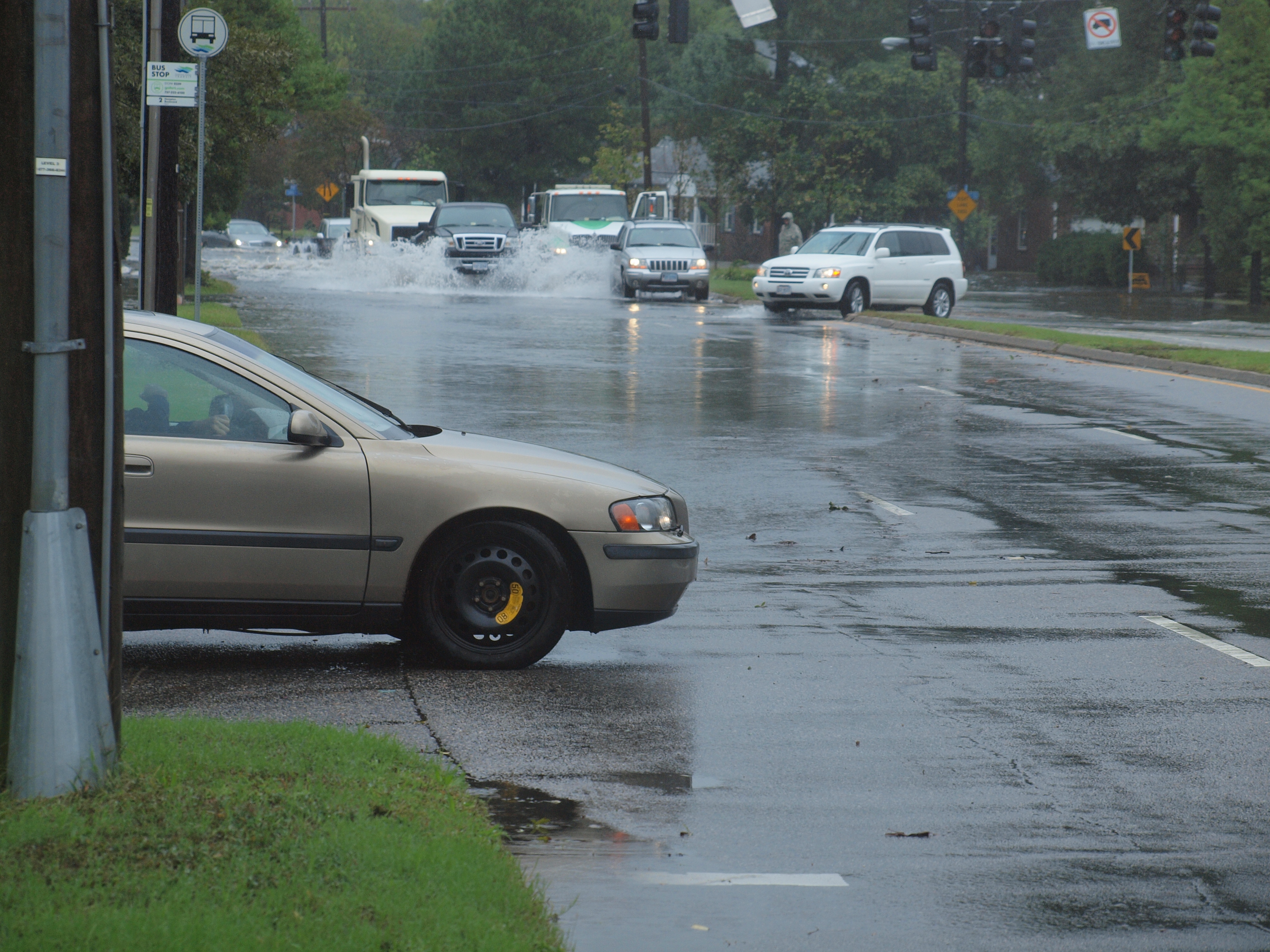
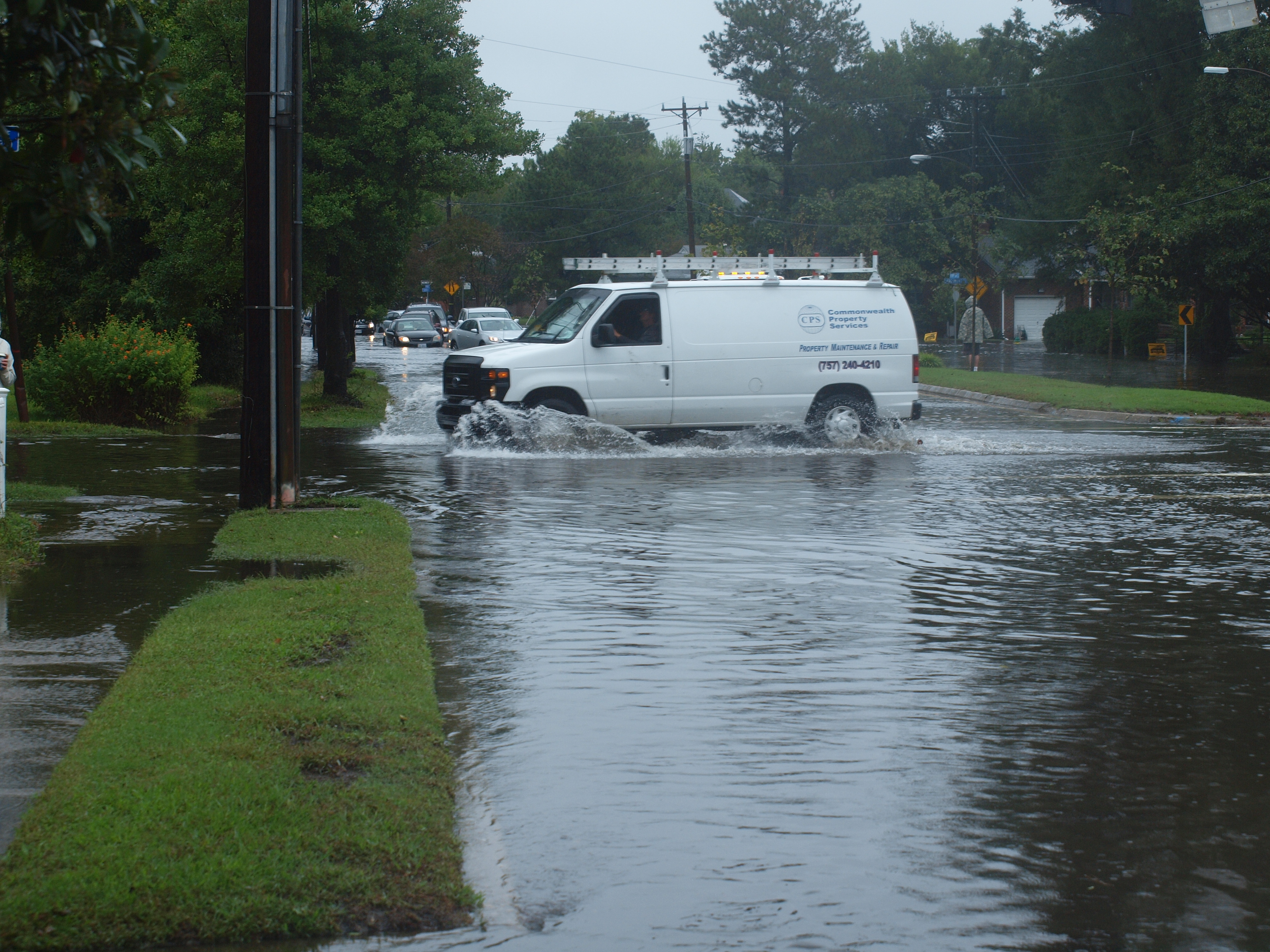
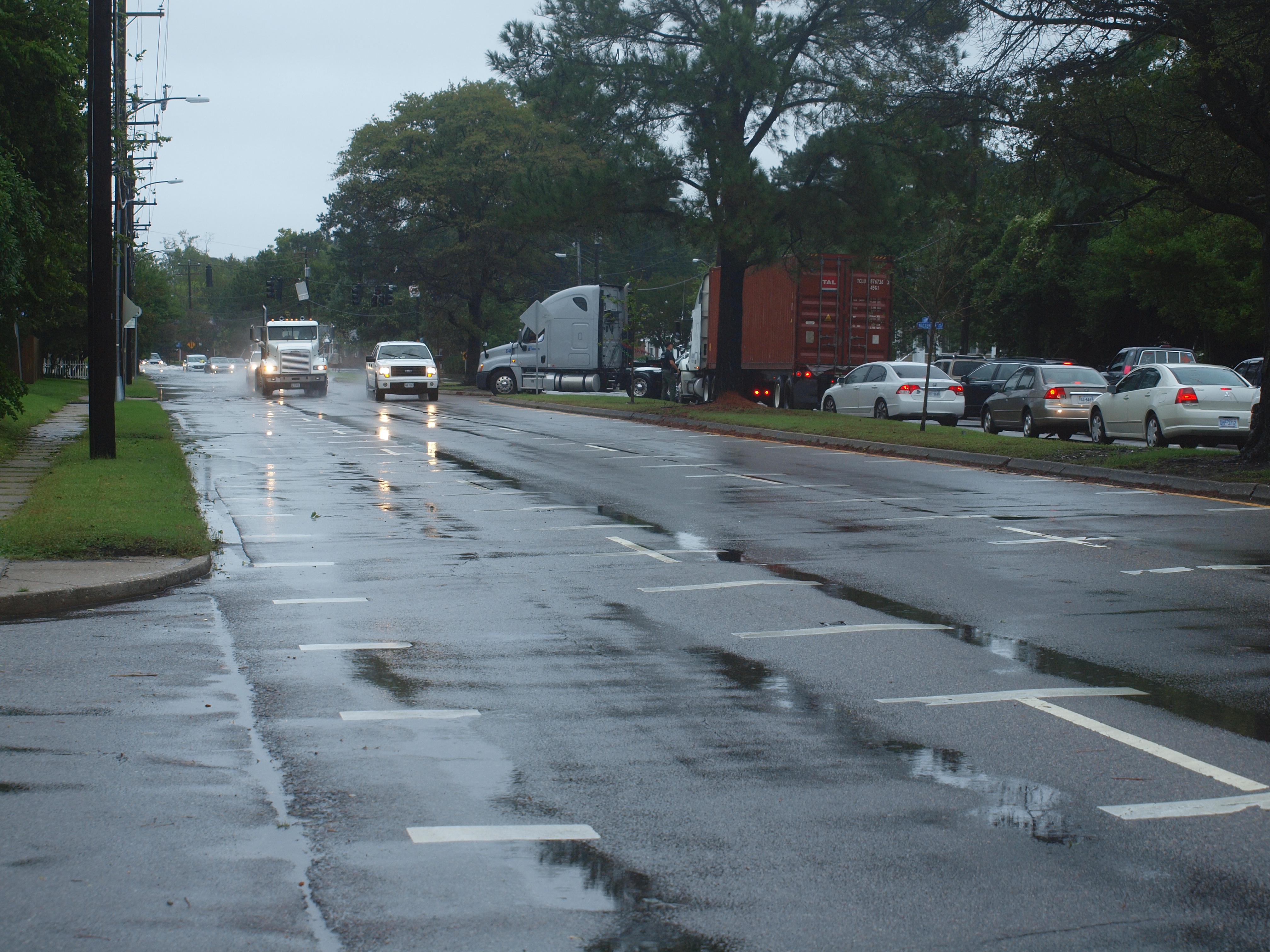
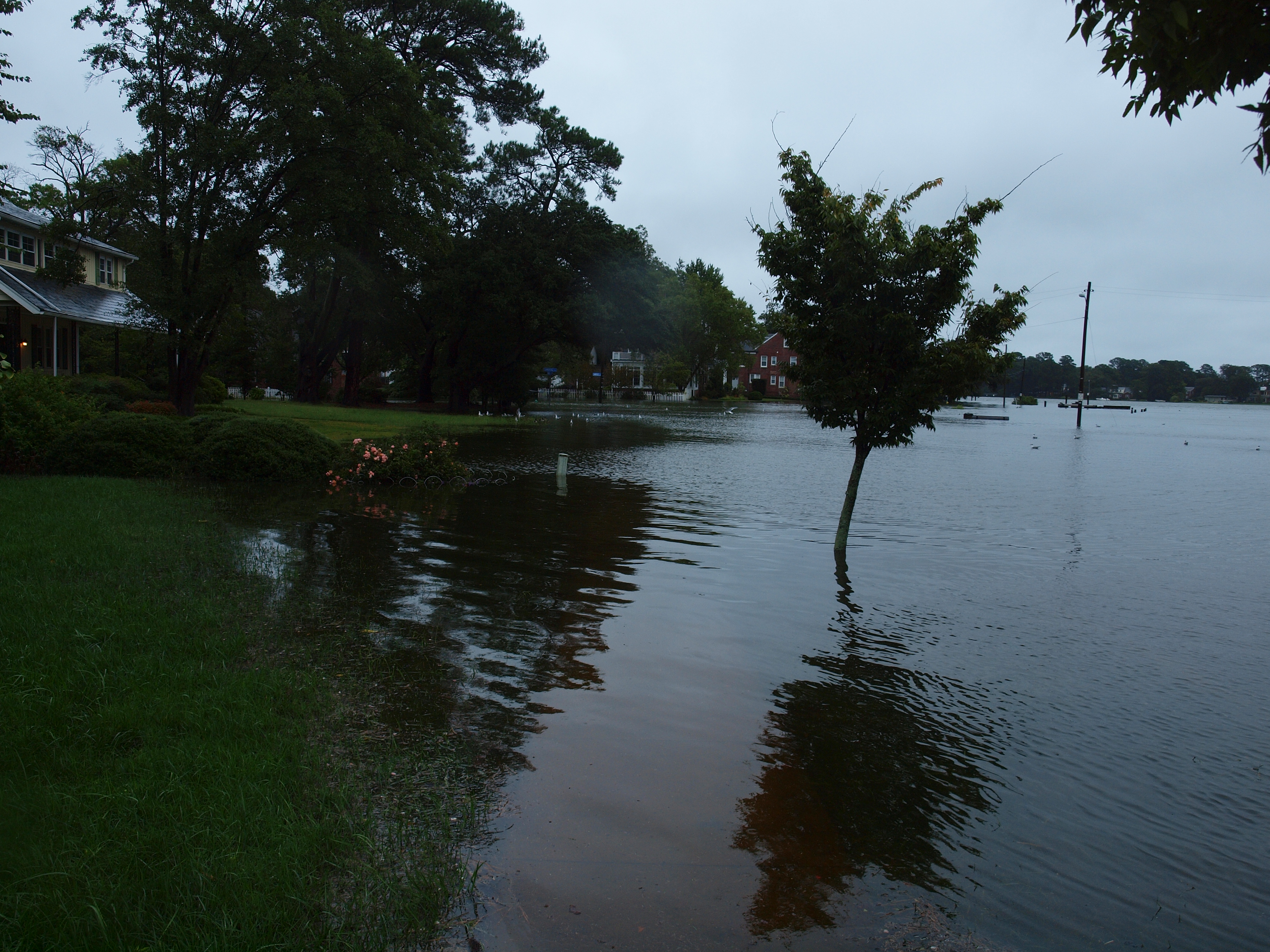
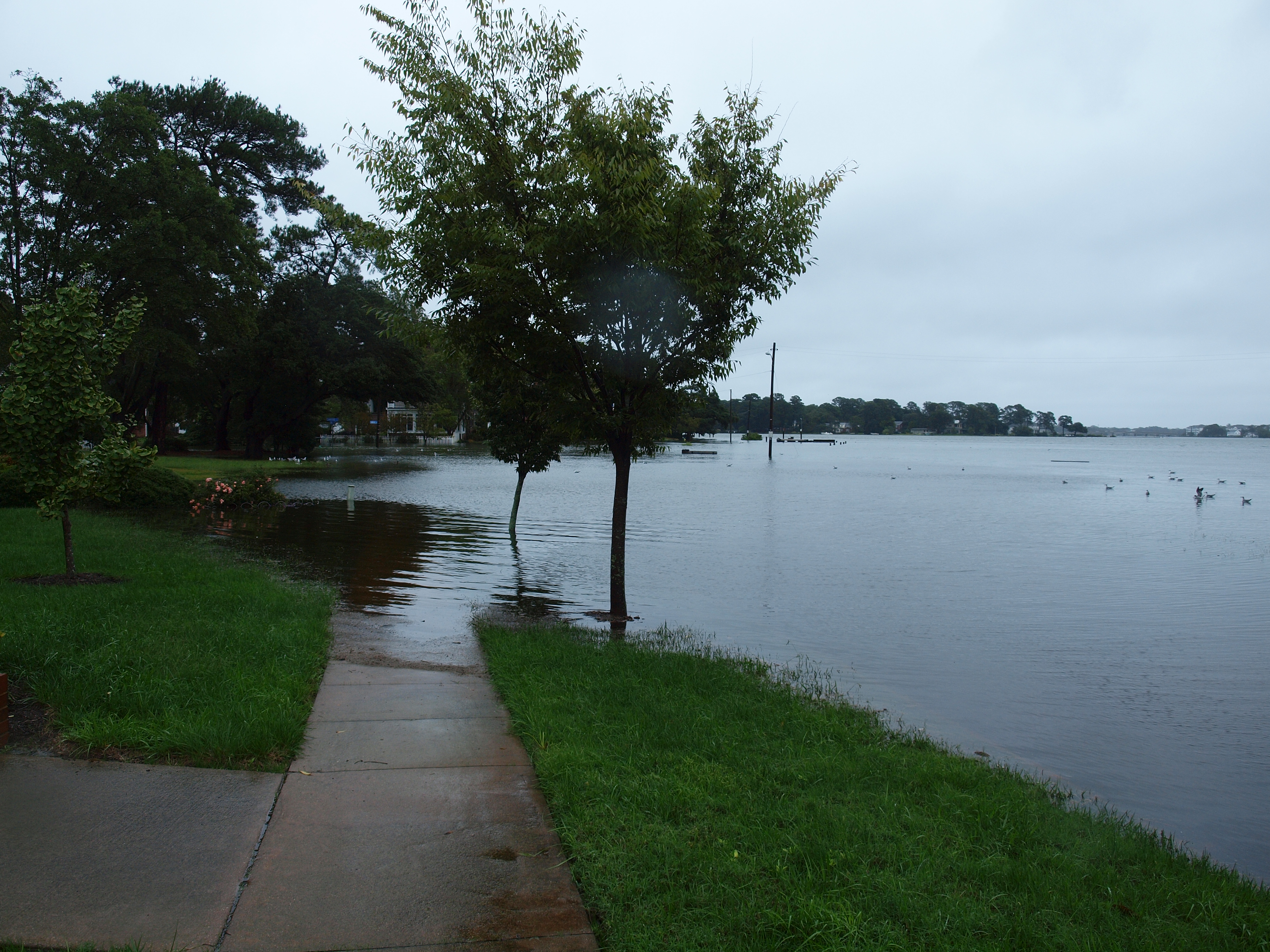
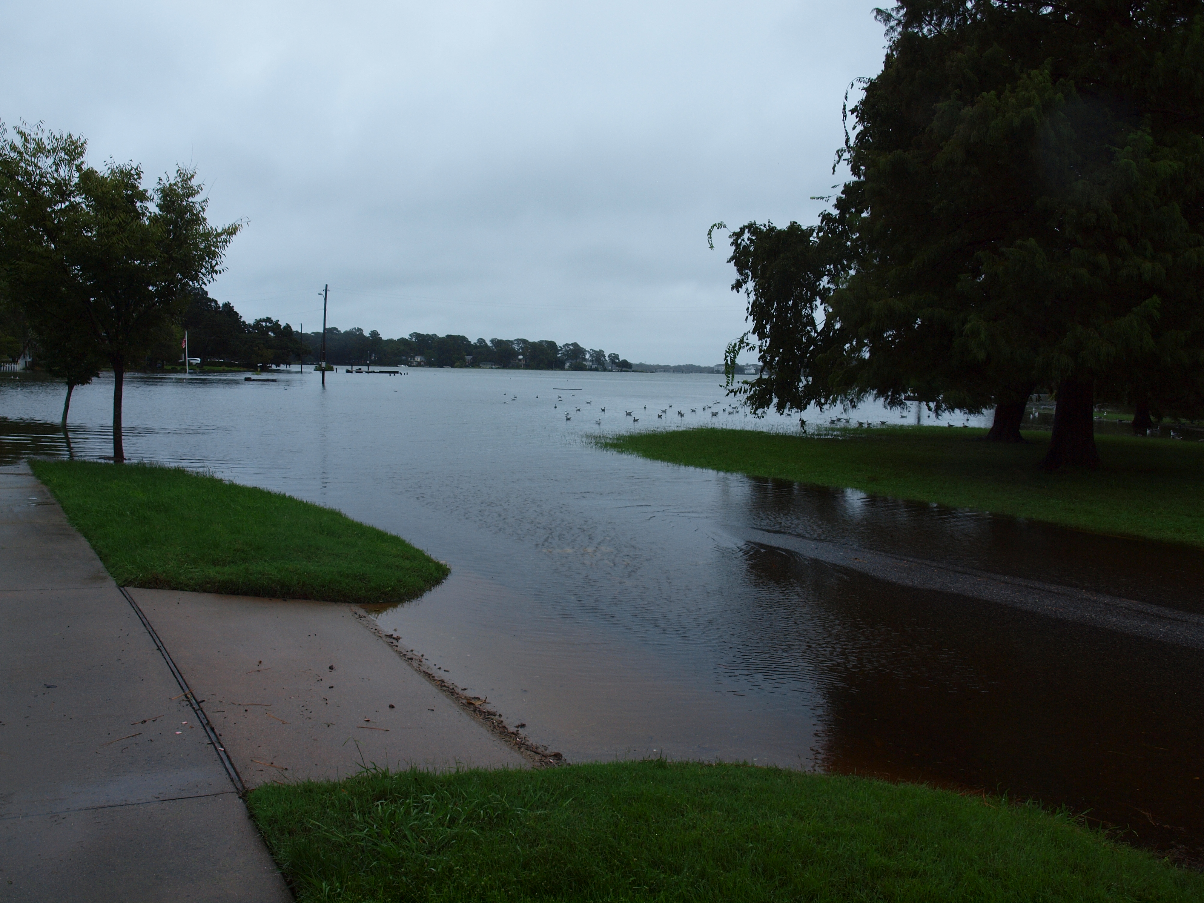
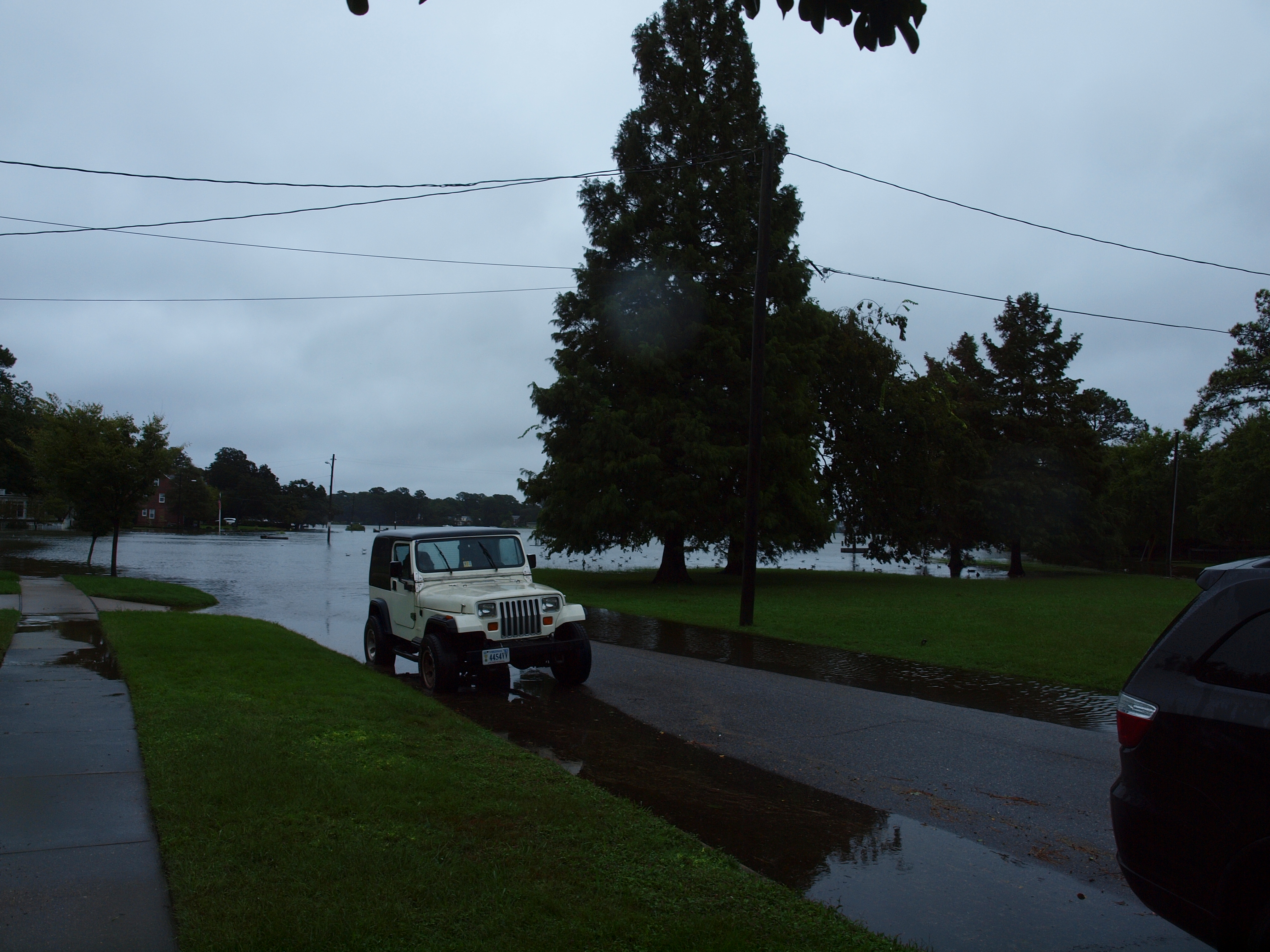
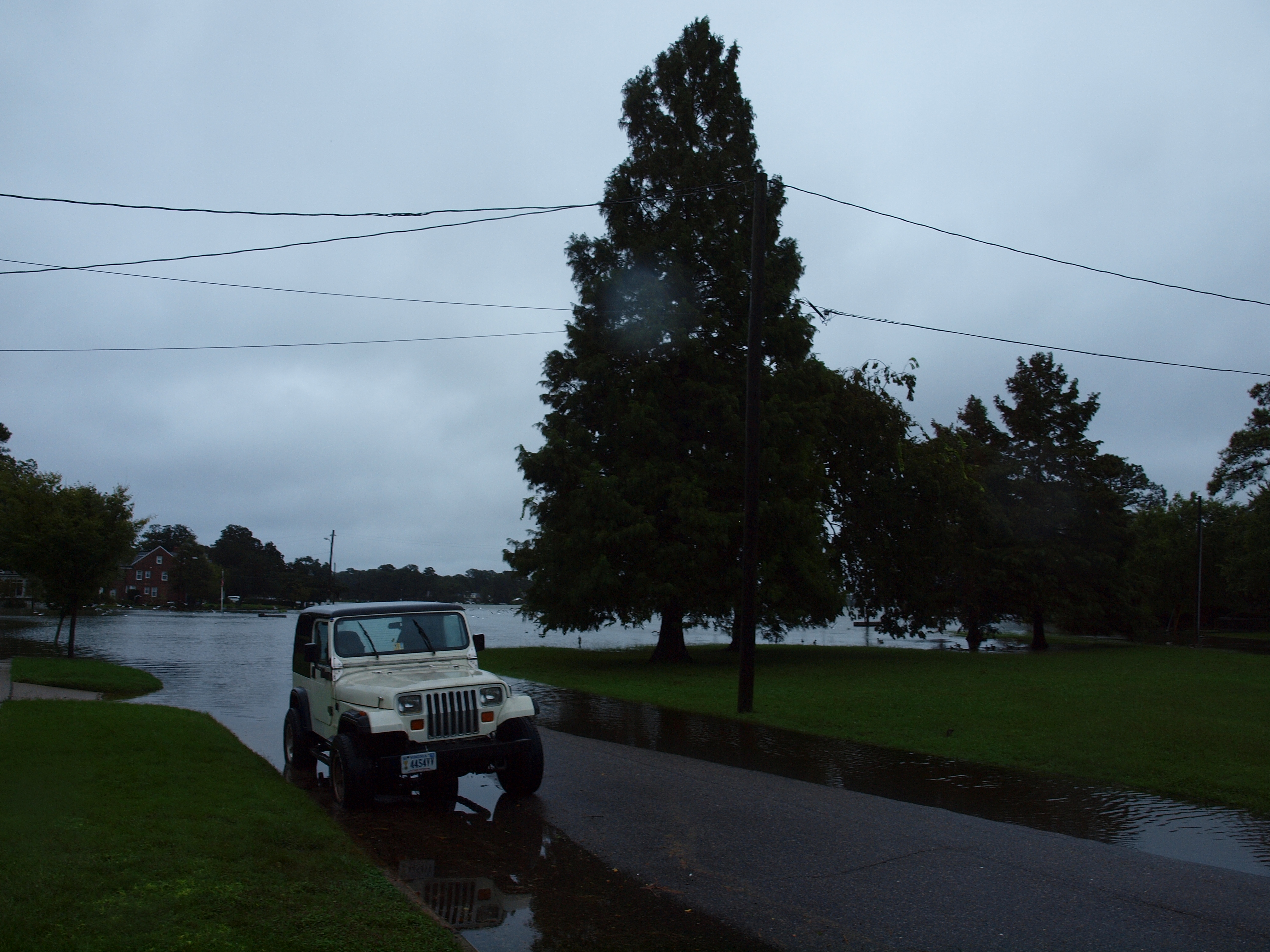
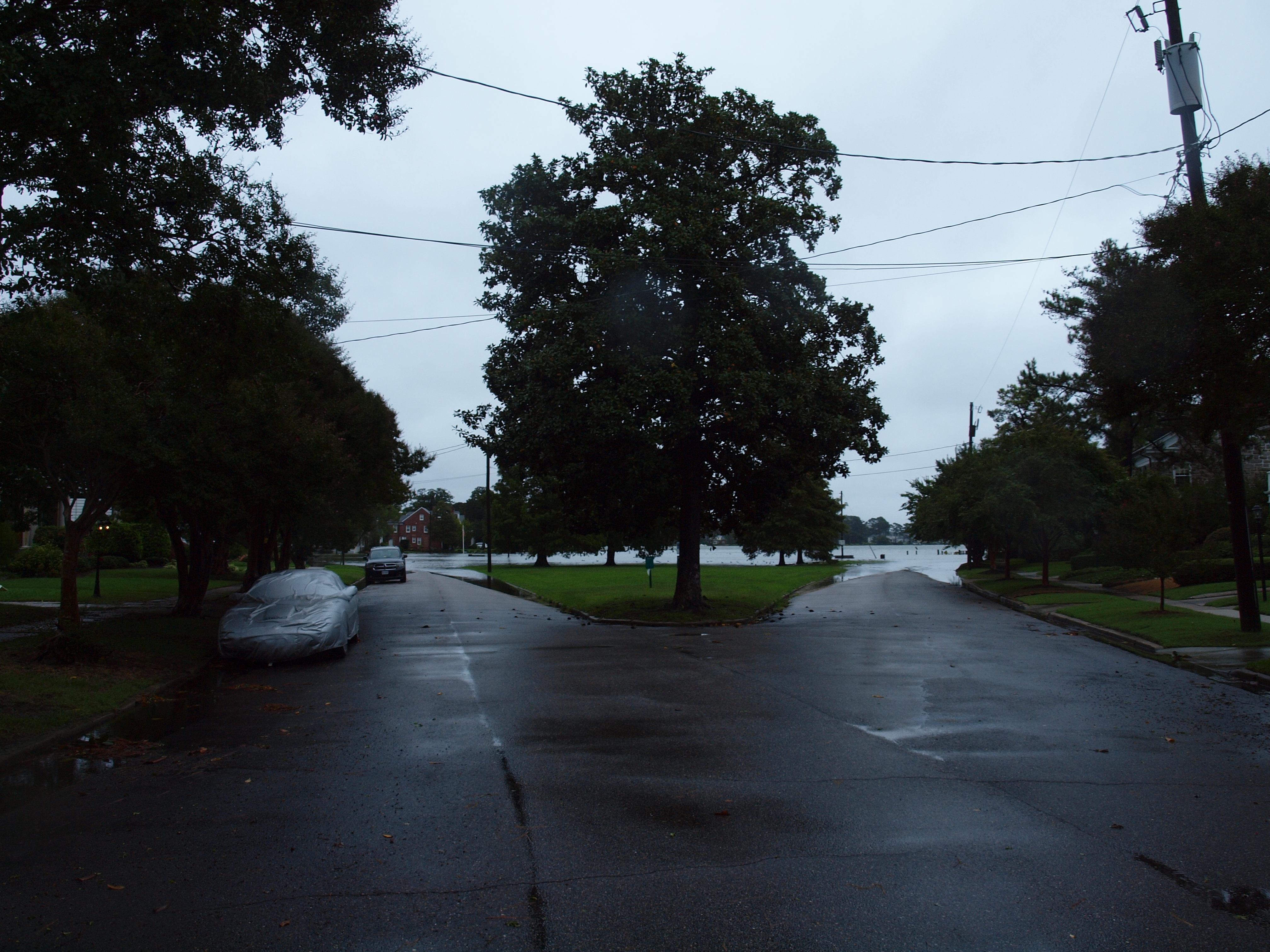
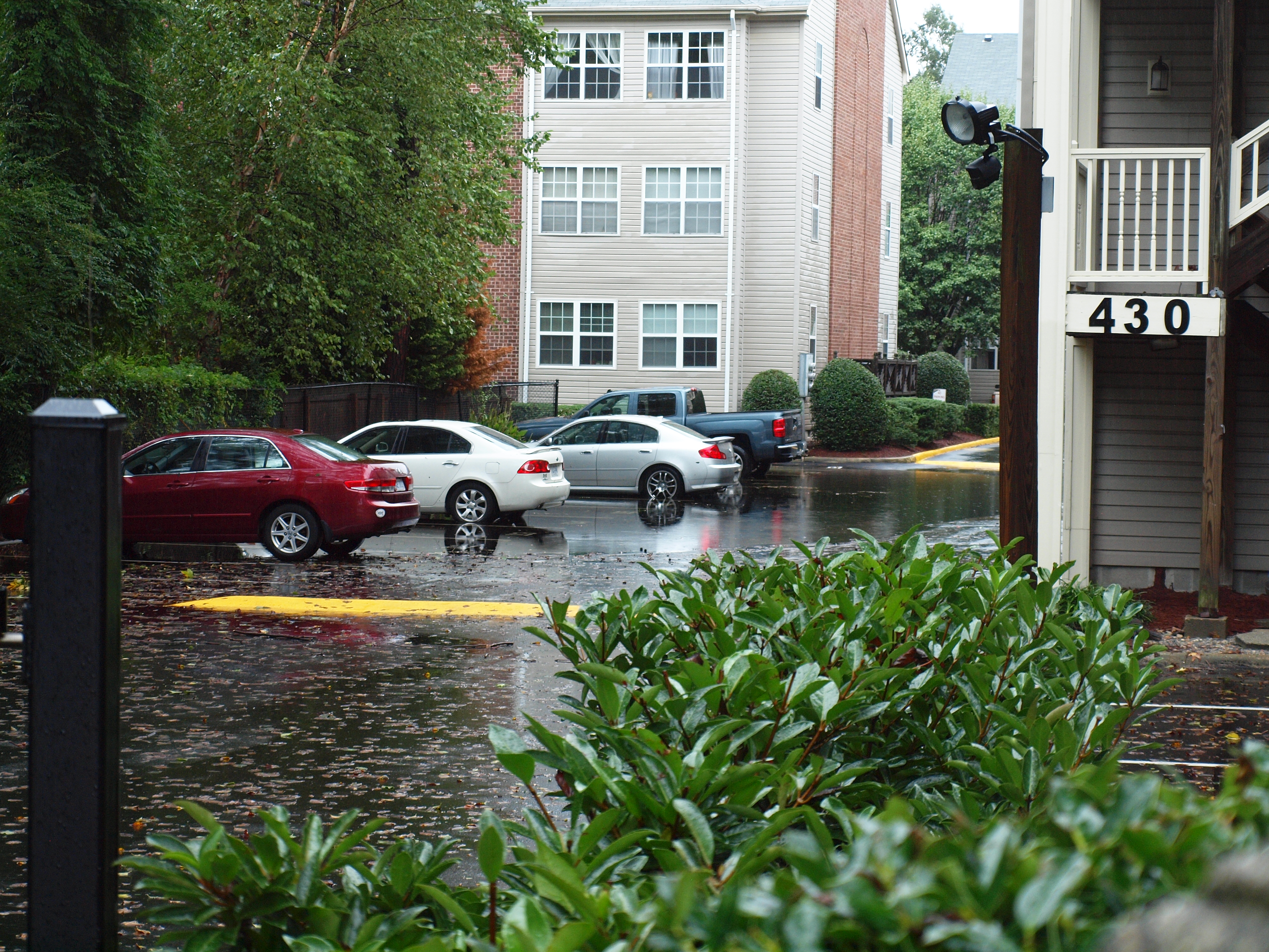
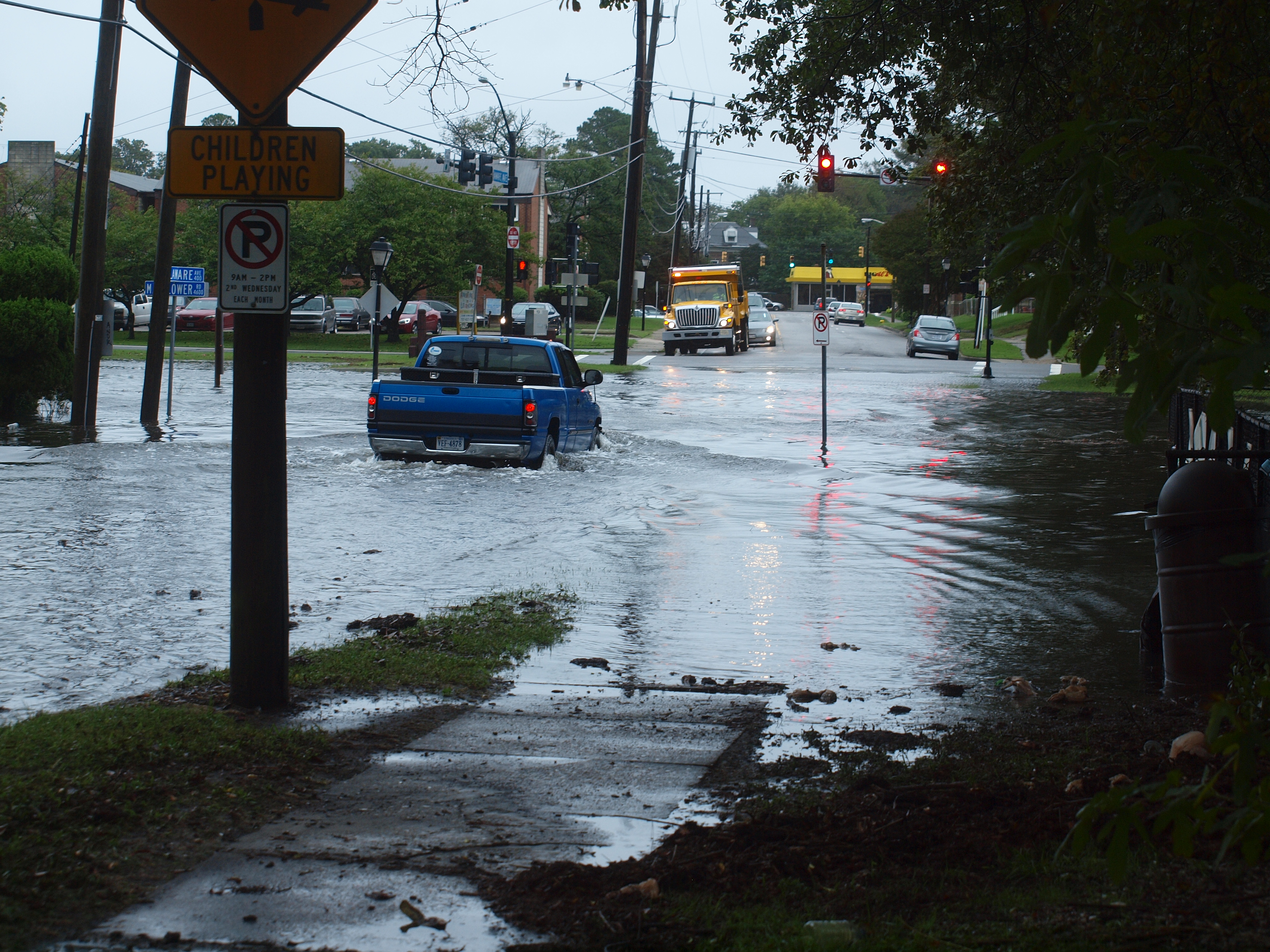
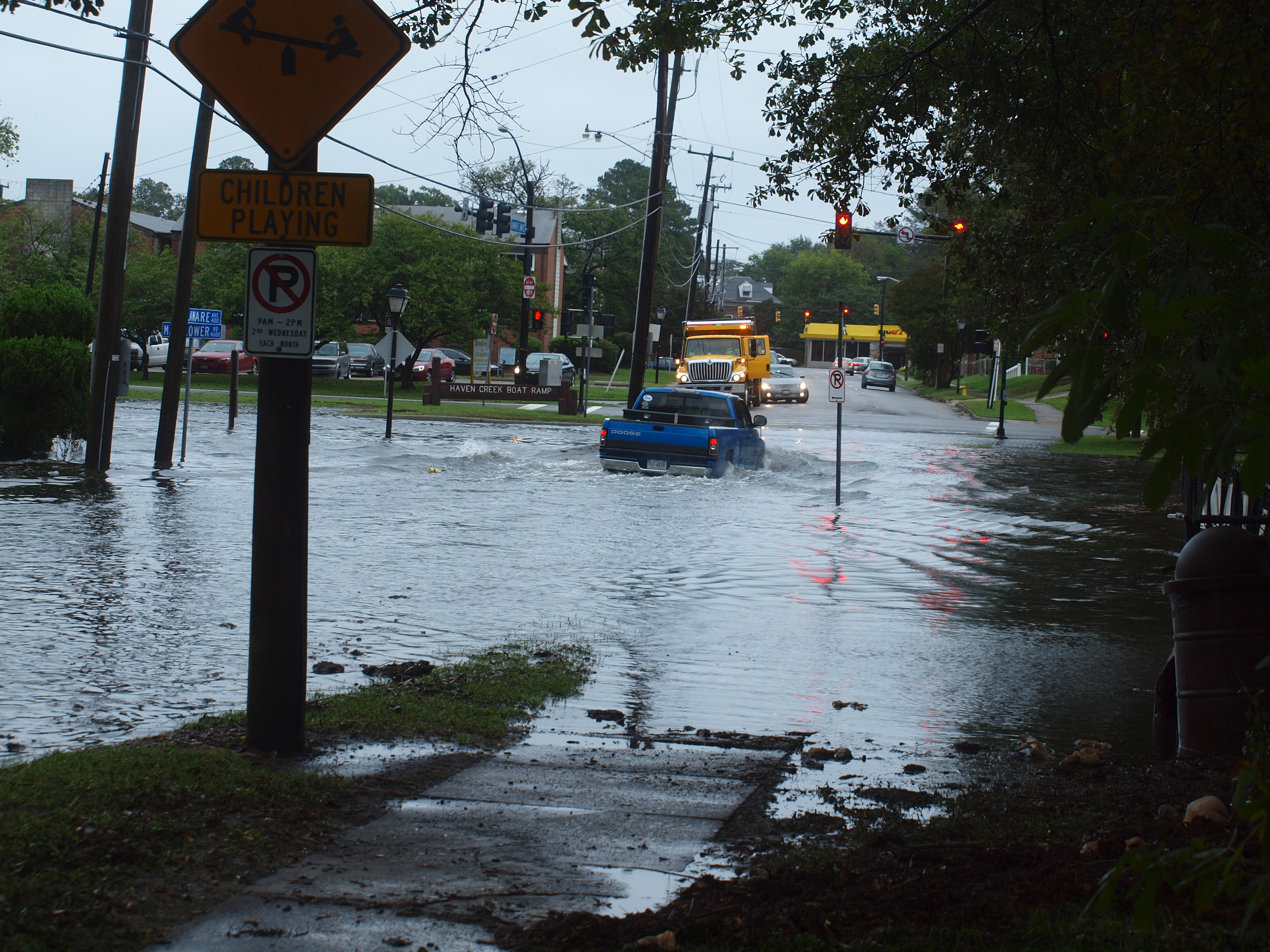
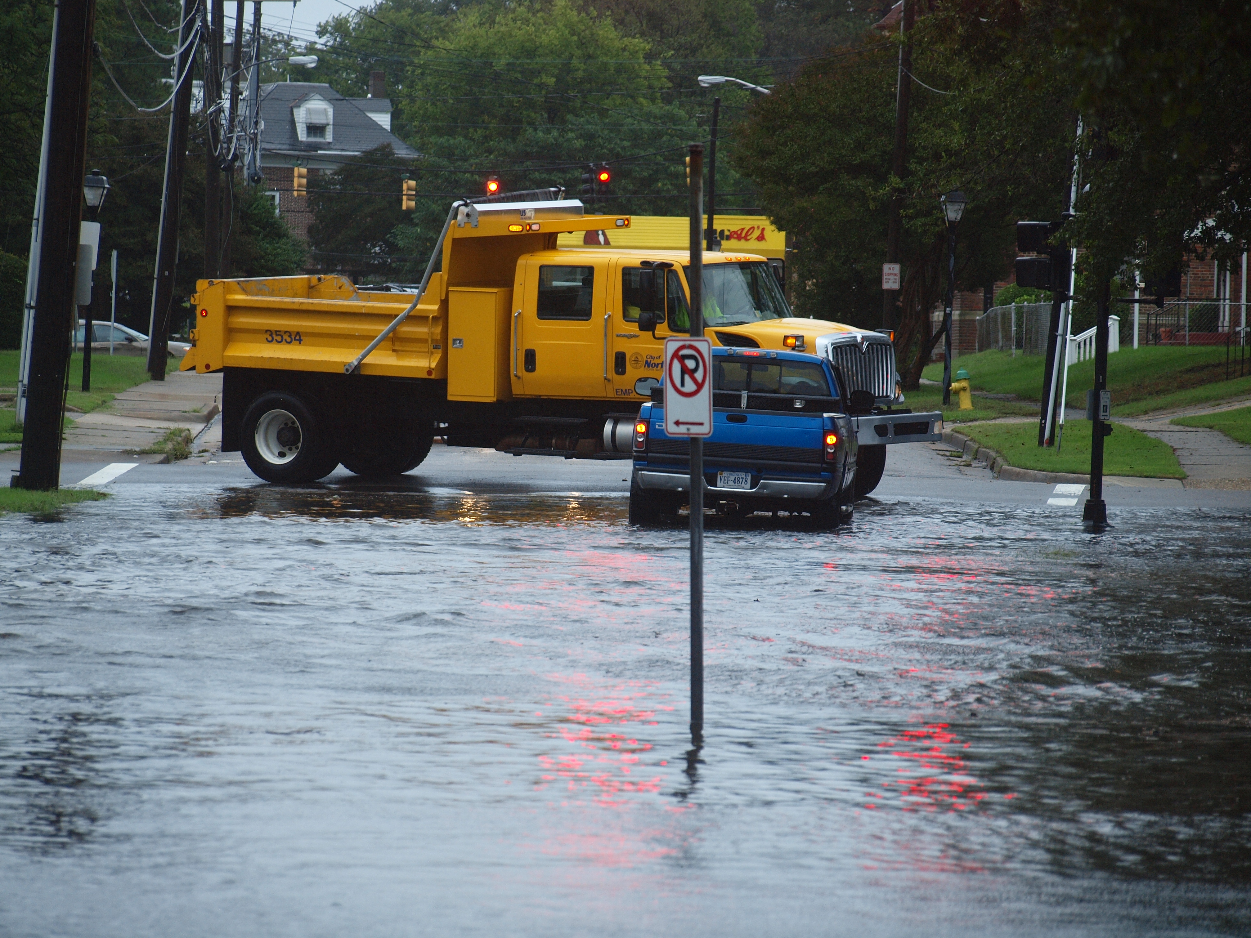
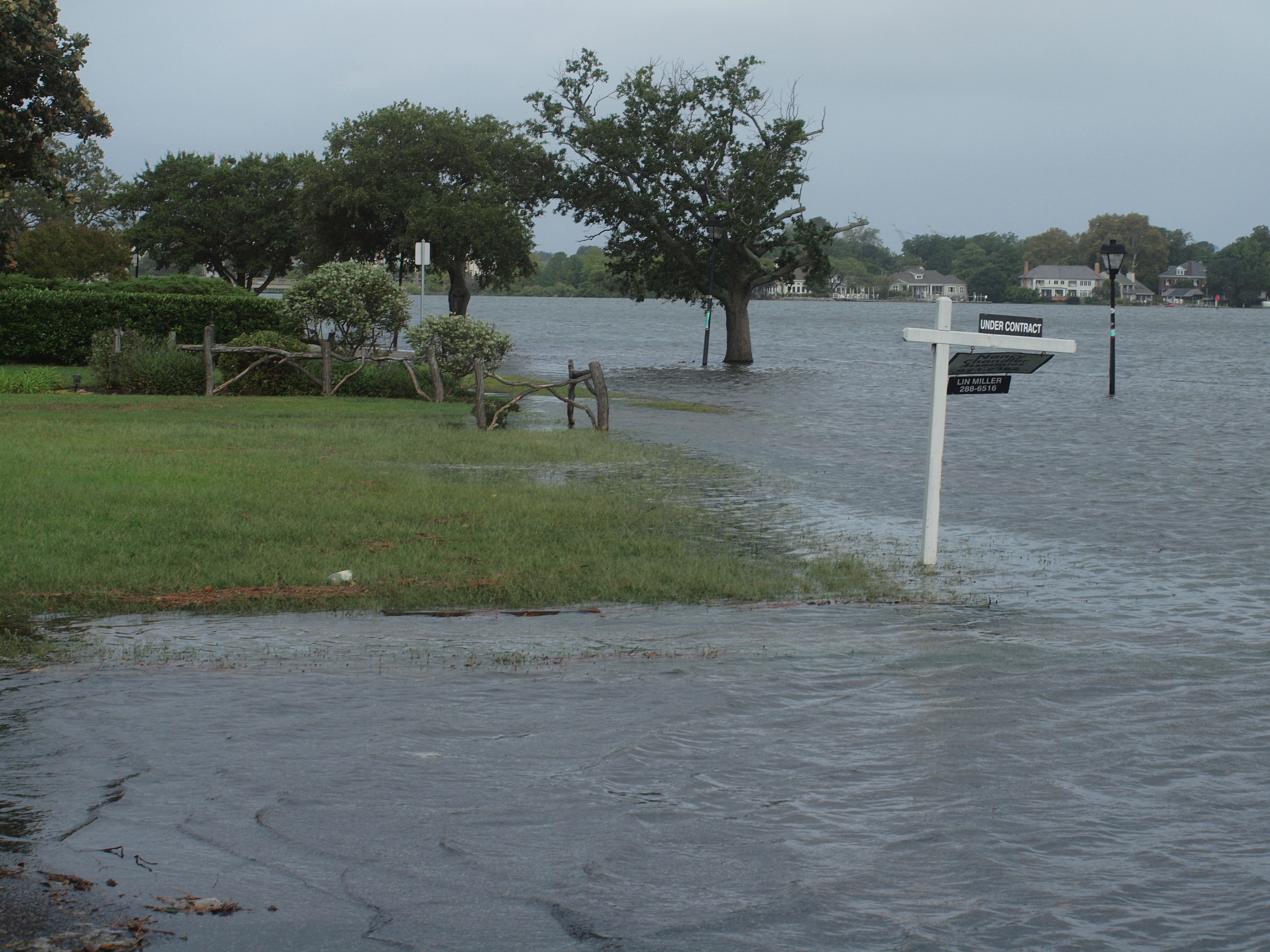
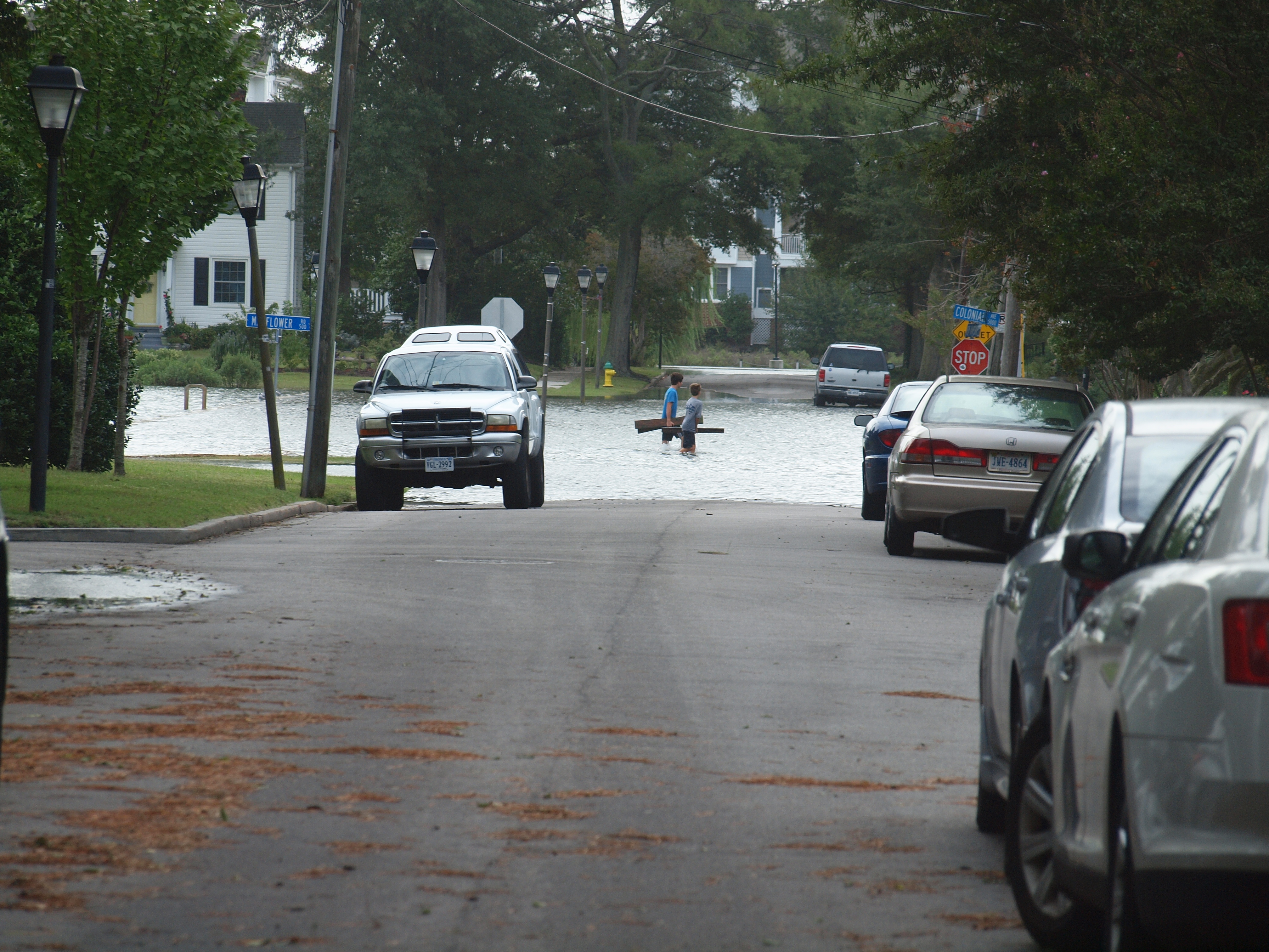
[October 2, 2015] Persistant north-easterly winds combine with large tides: Persistant north-easterly winds created a long-lasting surge of up to 2 feet, which in combination with large tides caused a sequence of flooding events at every high-tide. The pictures were taken in Colonial Place at about 4:00 PM on Friday, October 2, 2015. At that time, the tide gauge at Sewells Point showed a water level of about 0.85 meters above HAT.
... |
... |

... |
... |
... |
... |
... |
... |

... |
... |
... |
... |
... |

... |
... |
... |
... |
... |
... |
... |
... |
... |
... |

... |
... |

... |
... |
... |
... |
... |
... |
... |
... |
... |
... |
... |
... |
... |
... |
... |
... |
... |
... |

... |

... |
... |
... |

... |

... |
... |
... |
... |

... |
... |
... |

... |
... |
... |
... |

... |
... |
... |
... |
... |

... |
... |
... |
... |
... |
... |
... |
... |

... |
... |
... |

... |
... |

... |
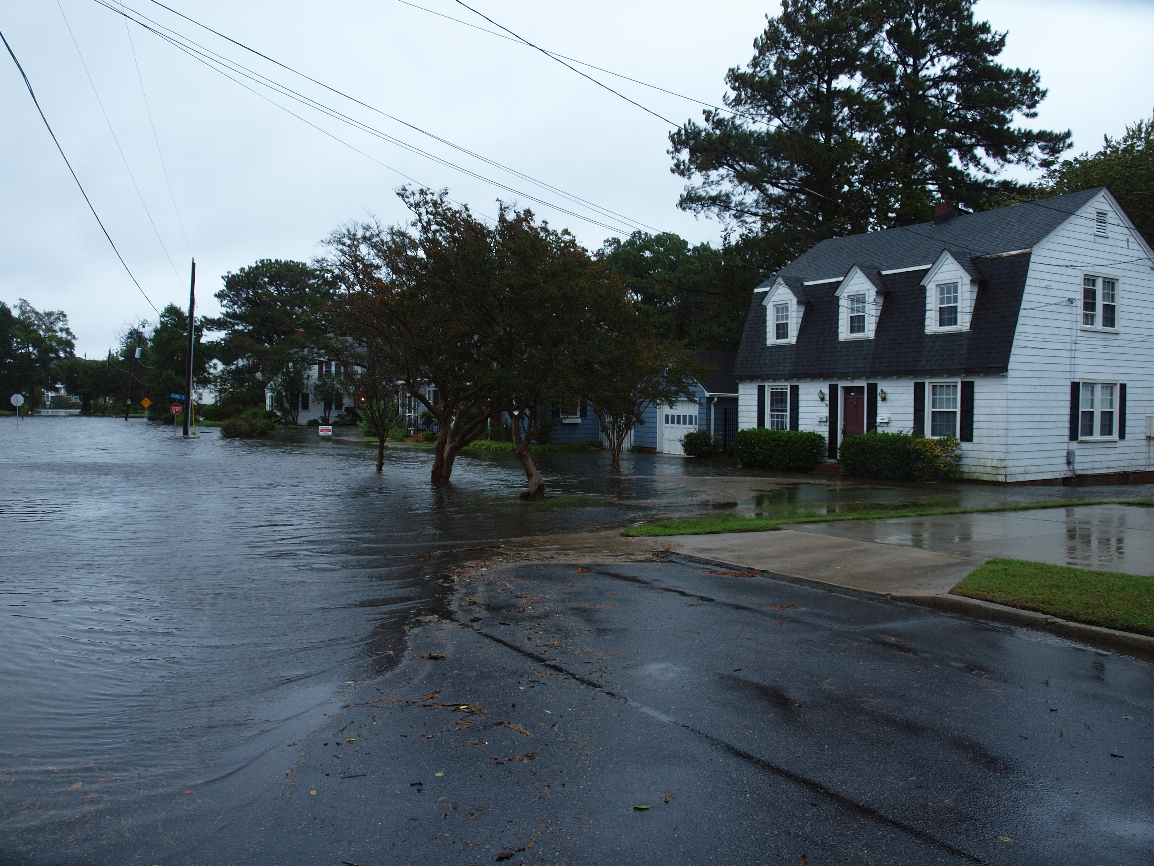
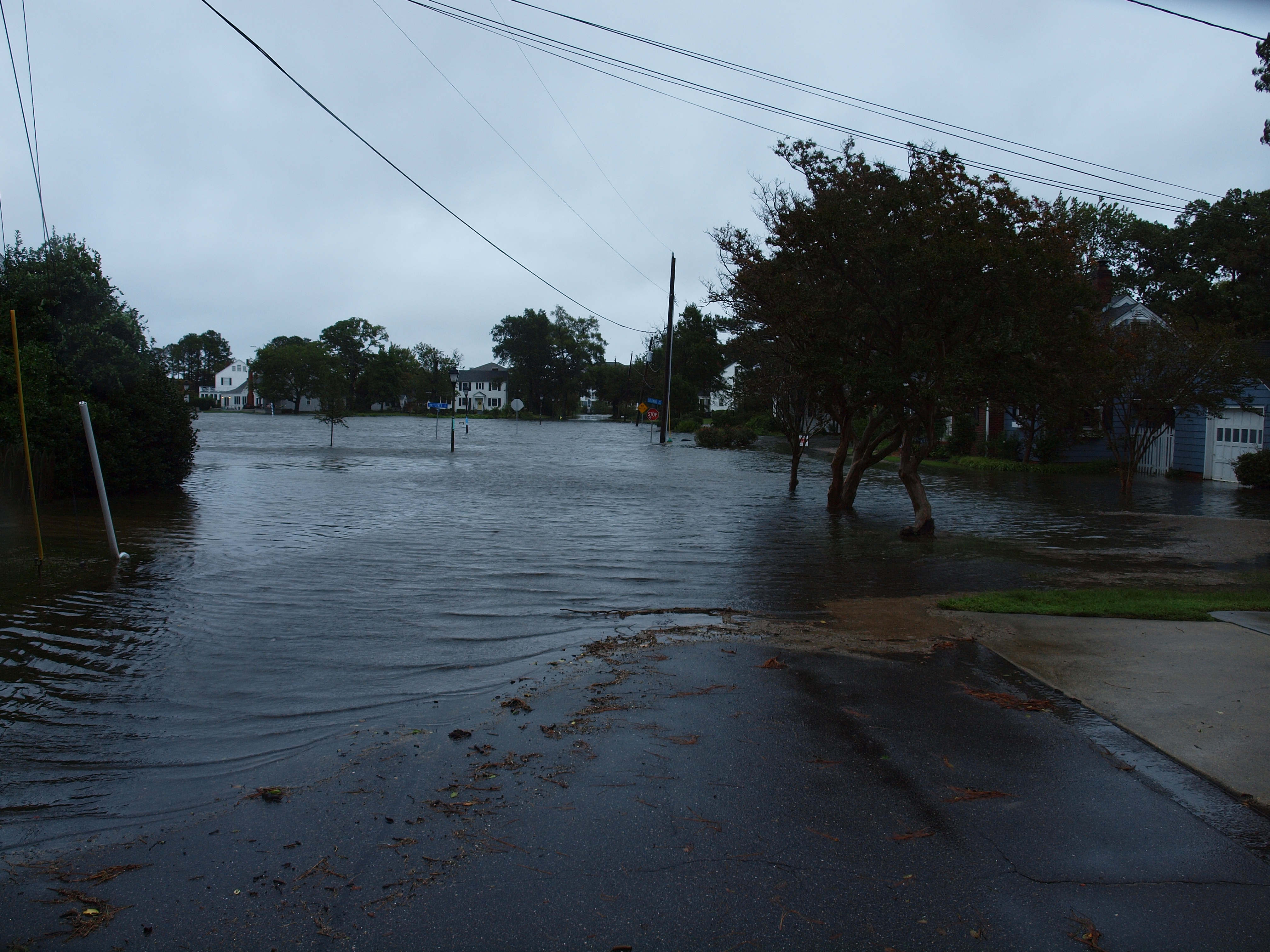
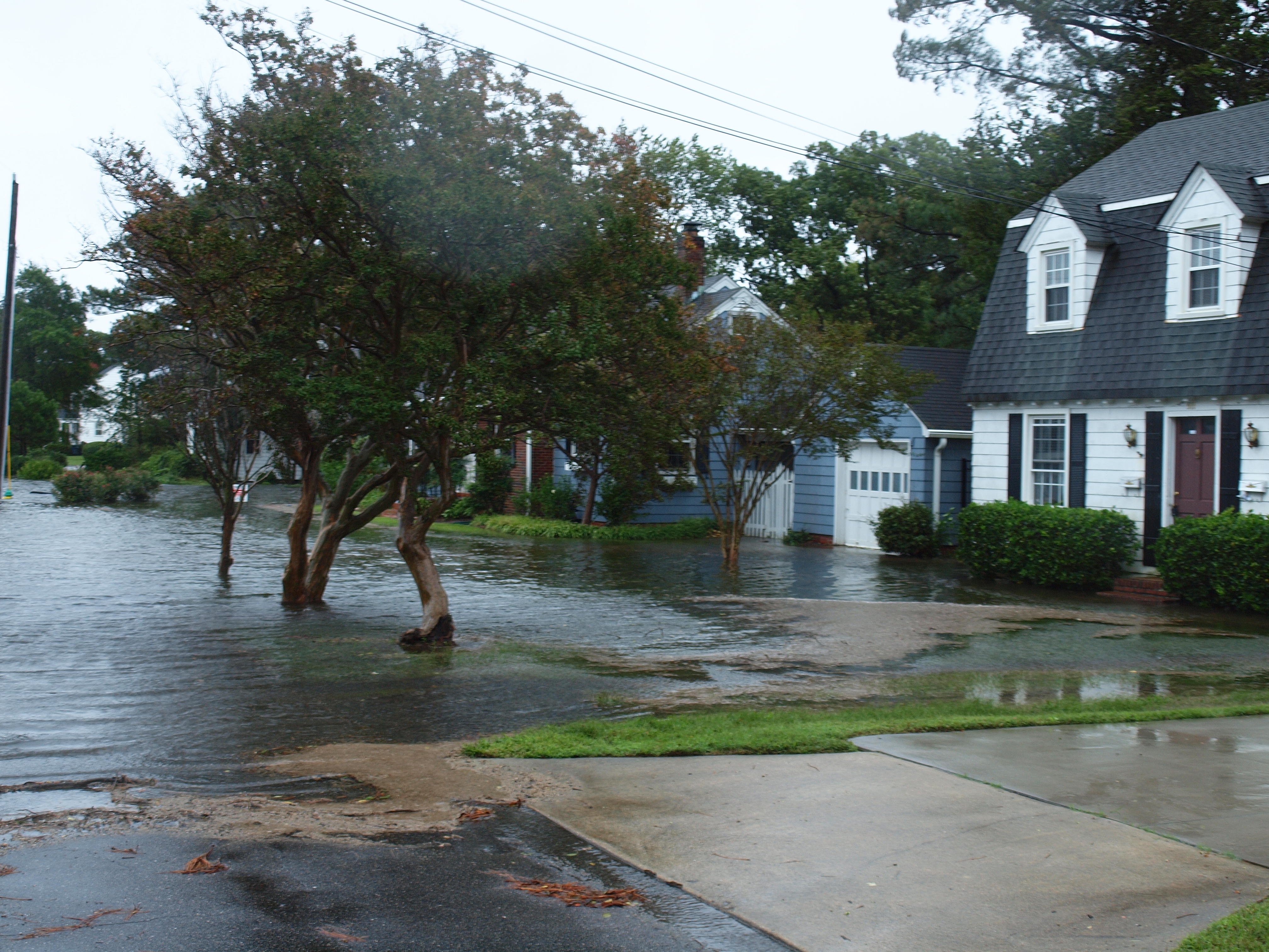
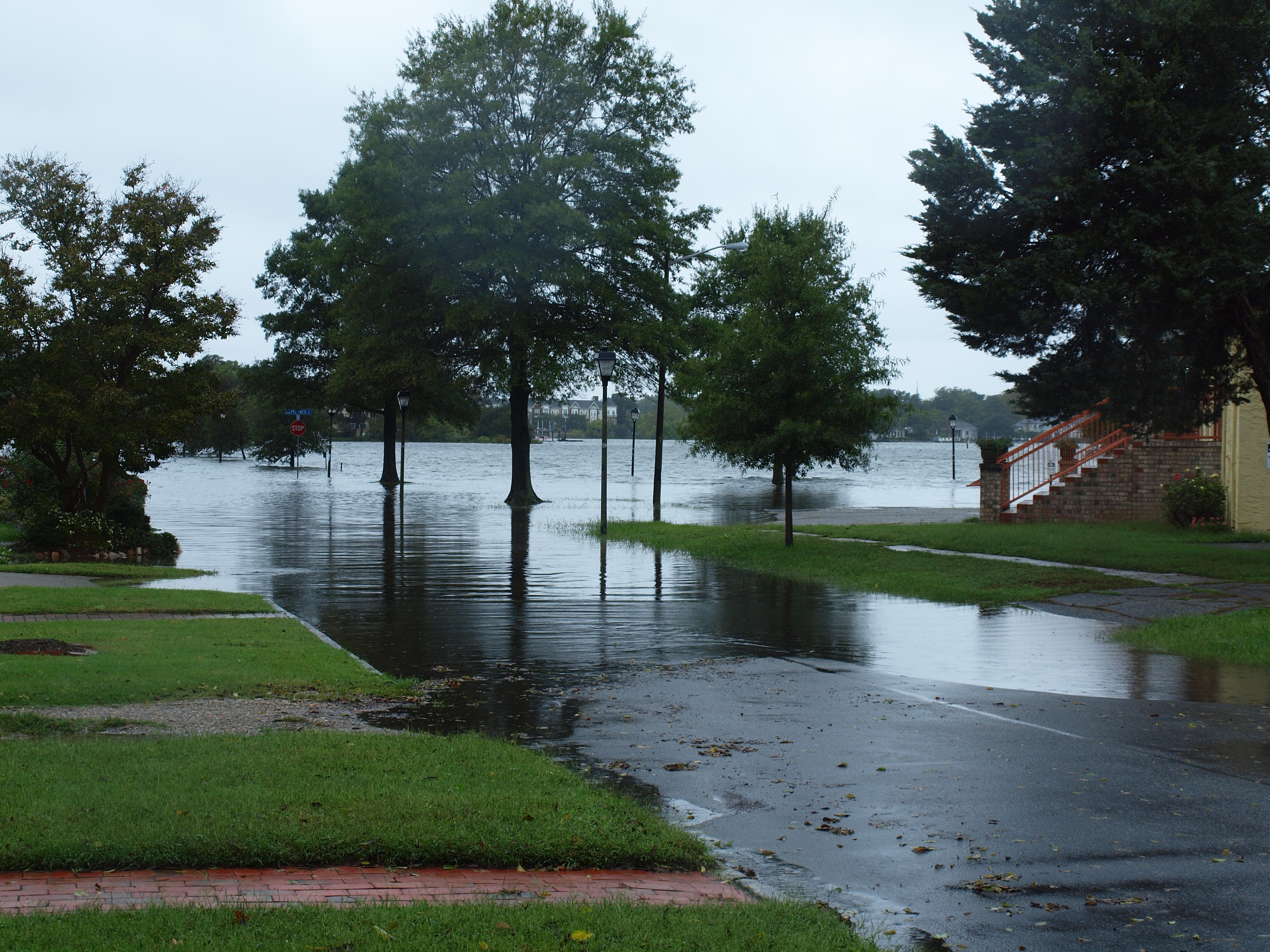
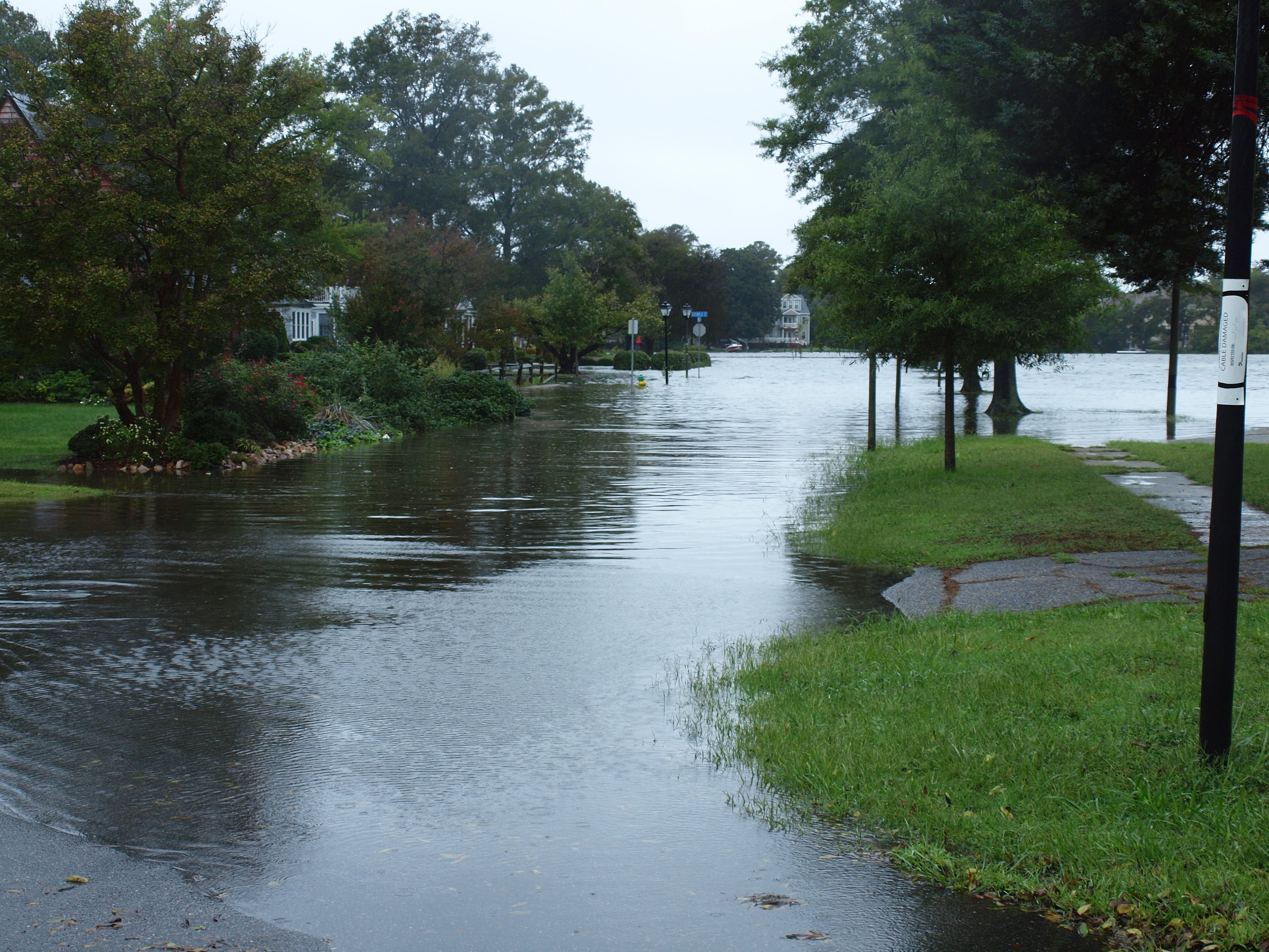
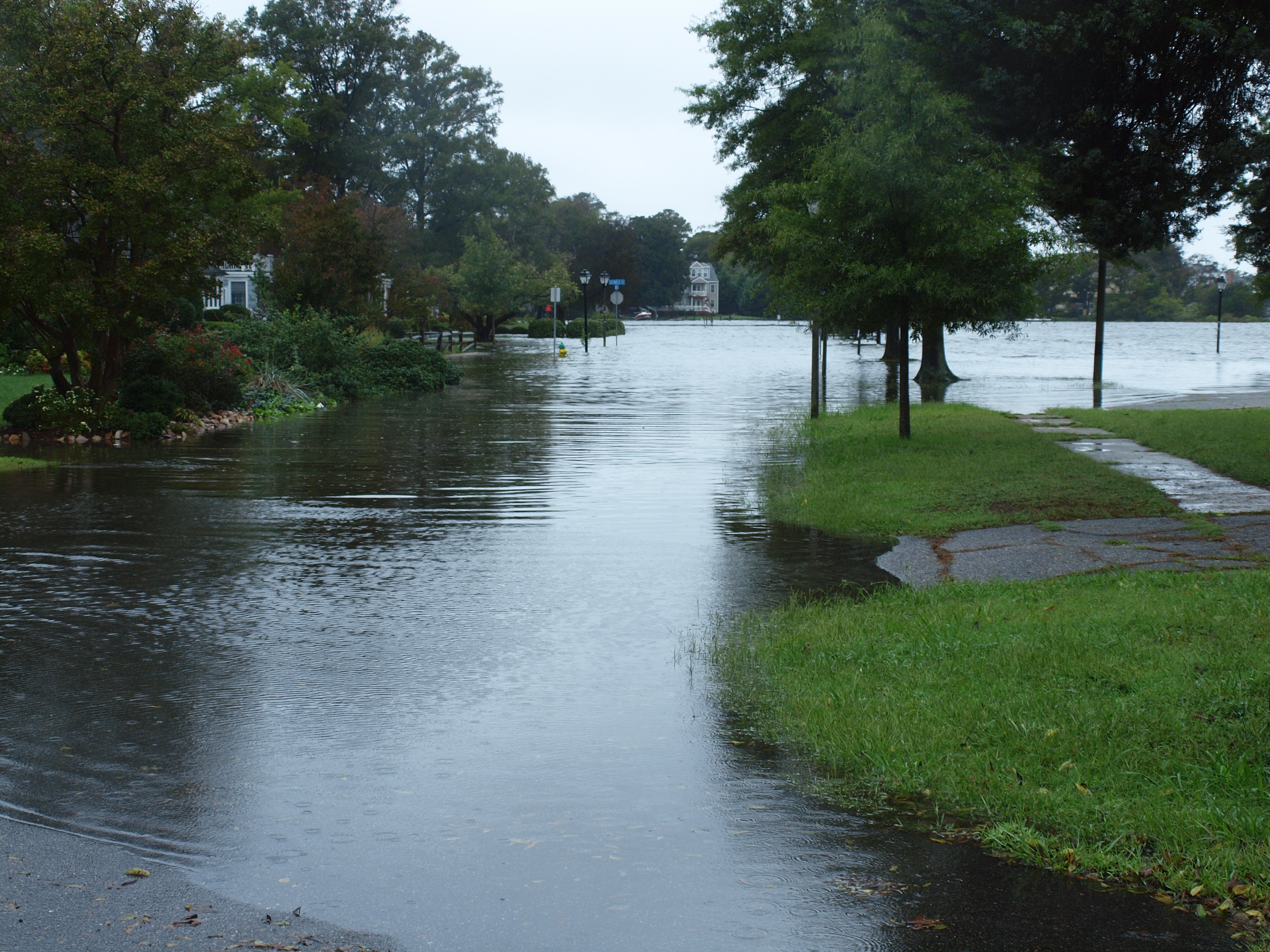
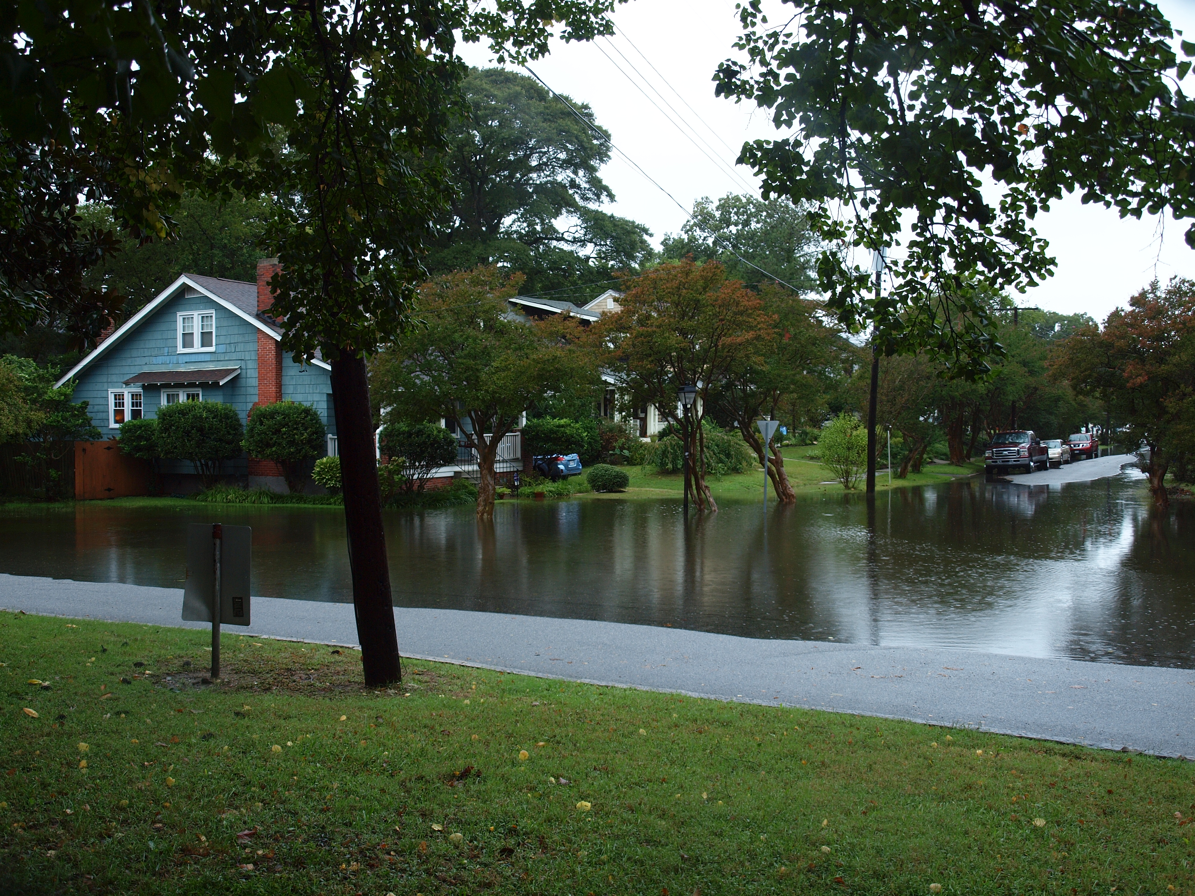
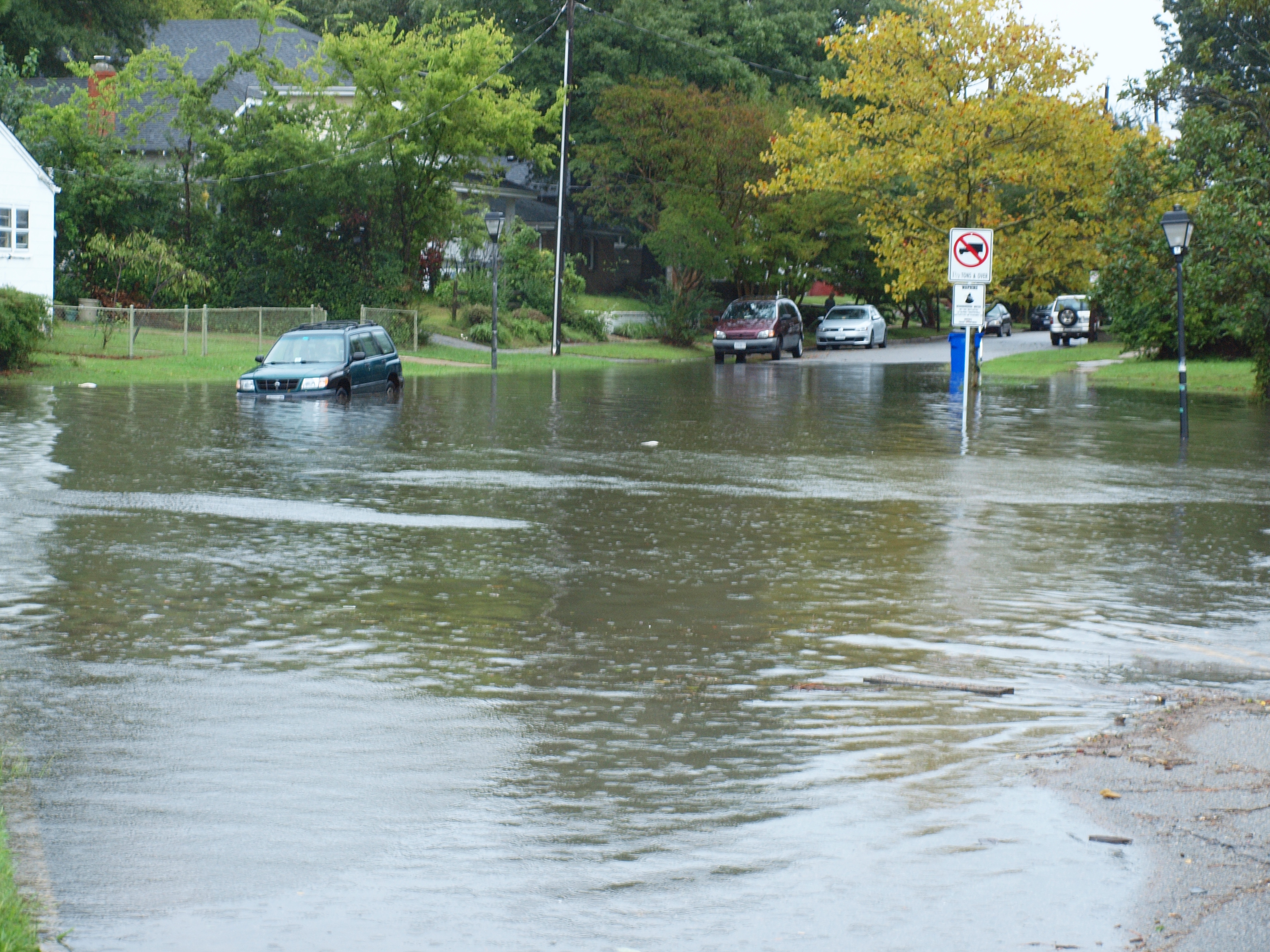
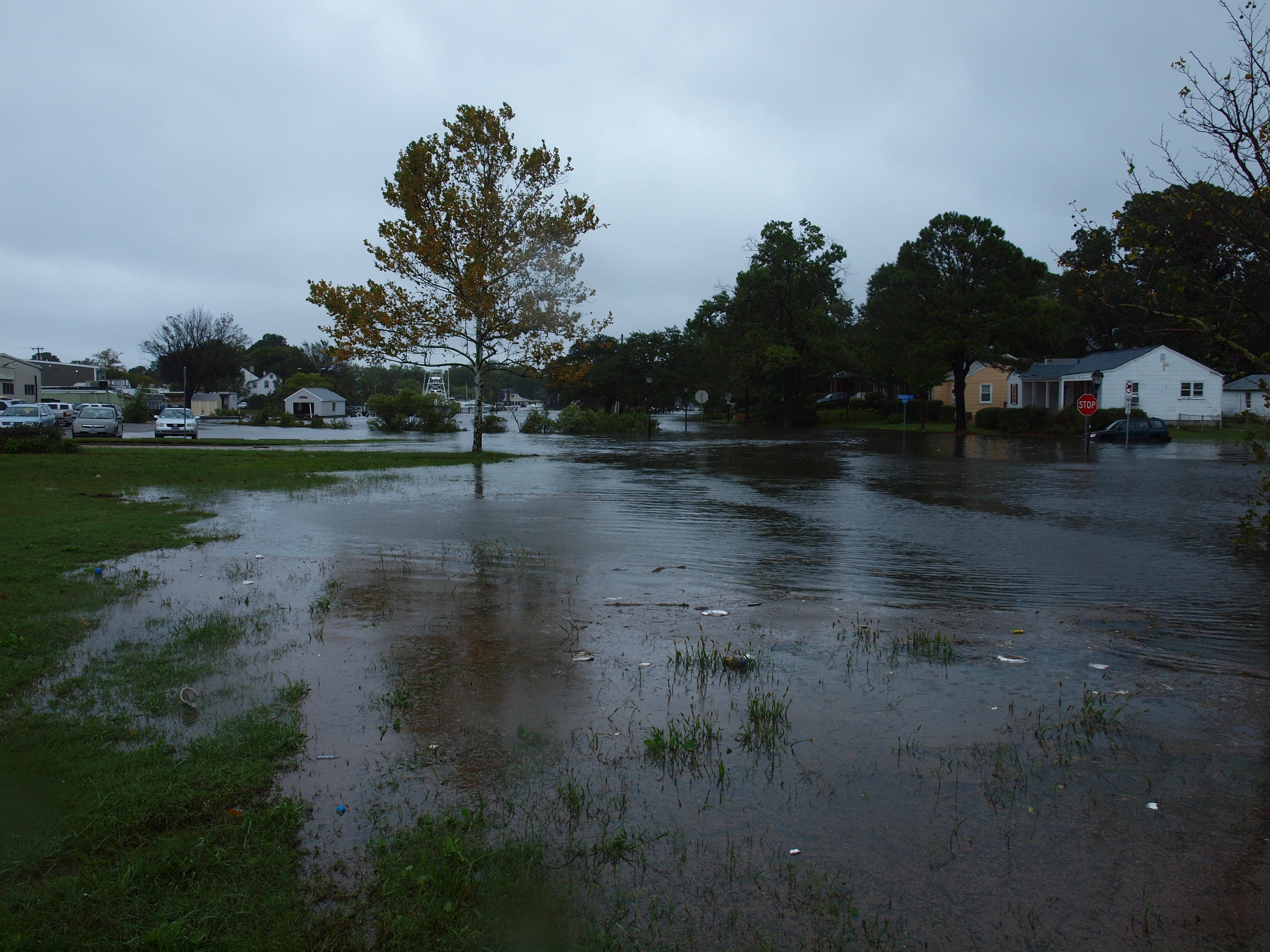
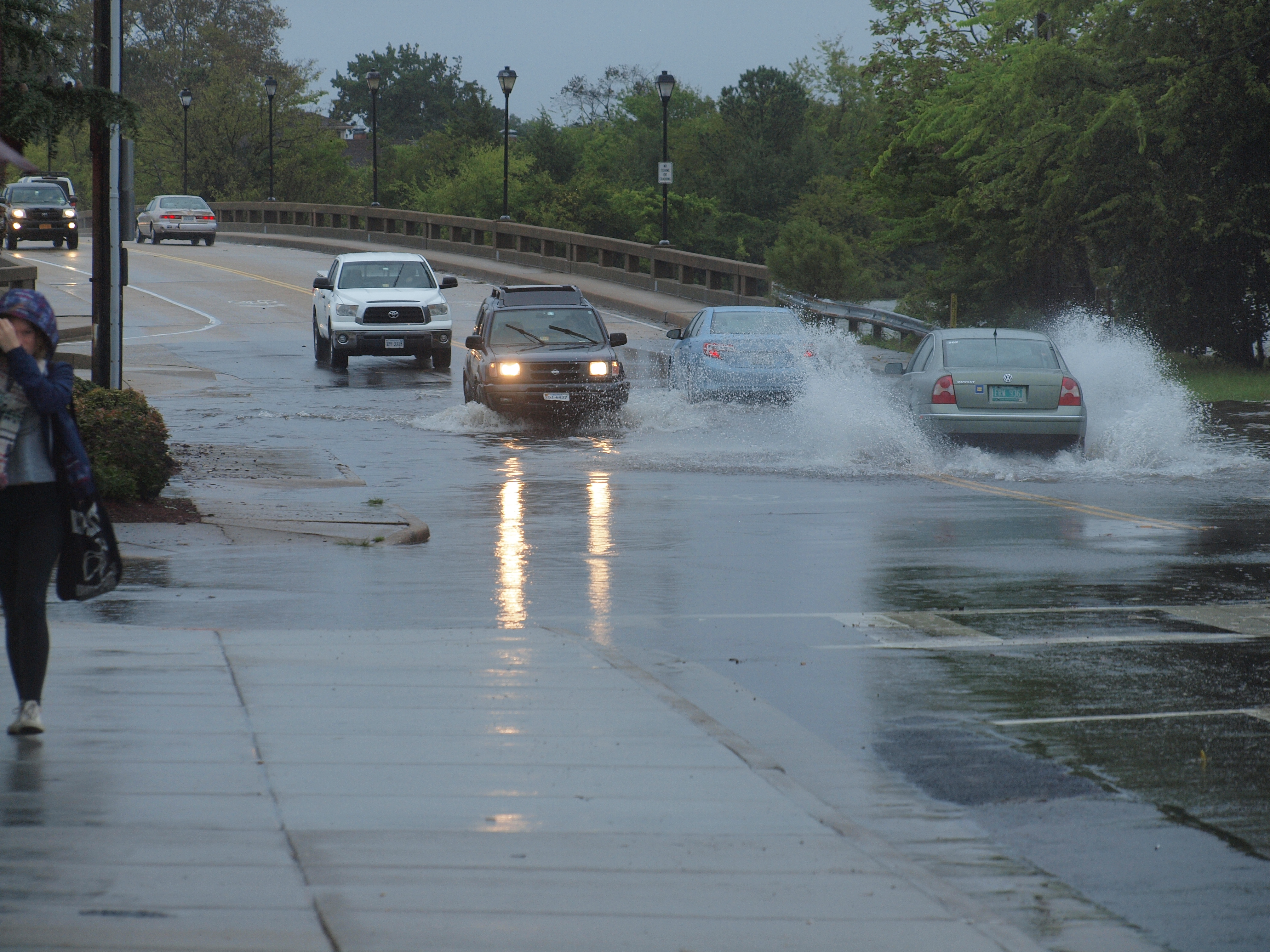
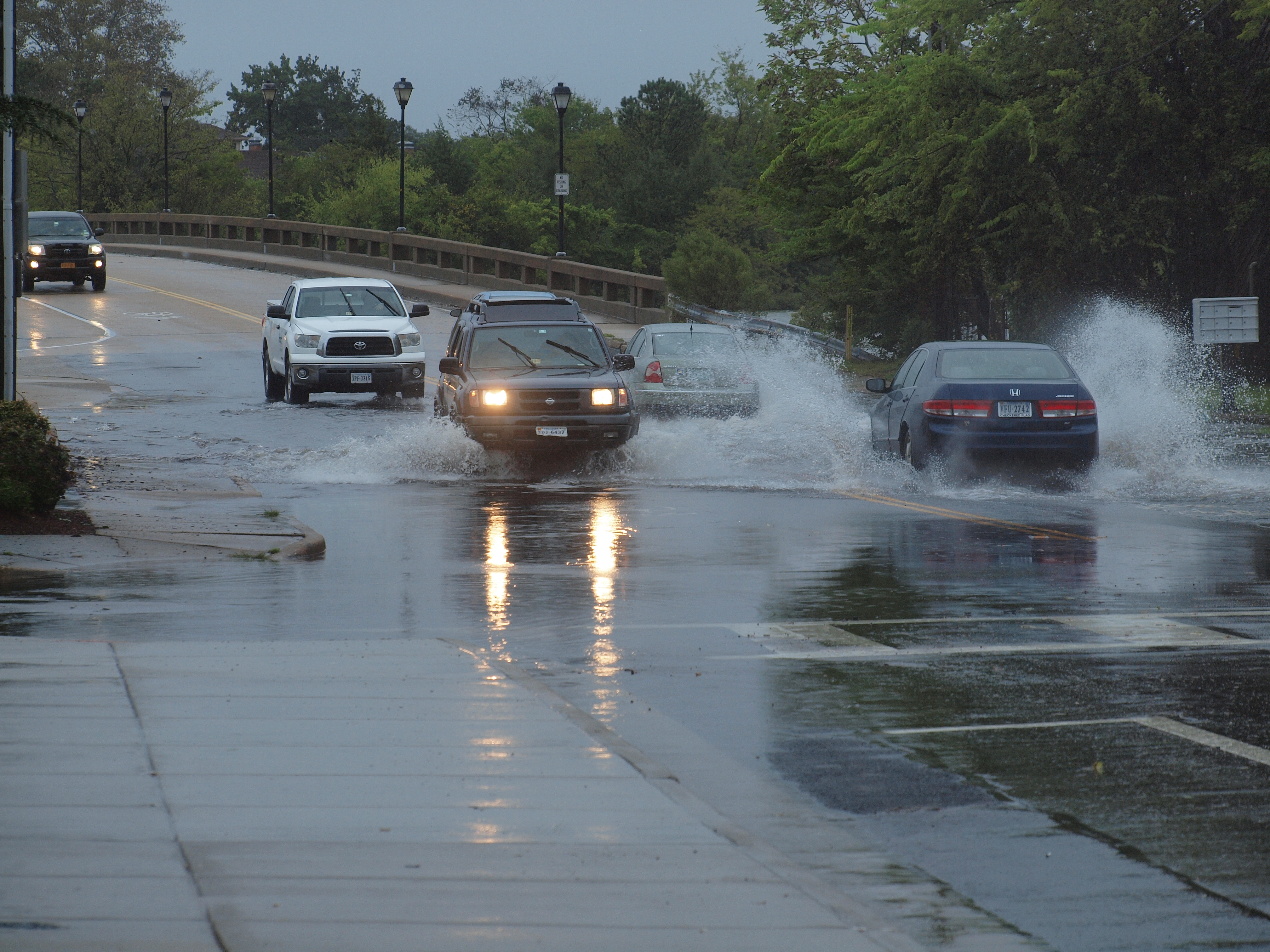
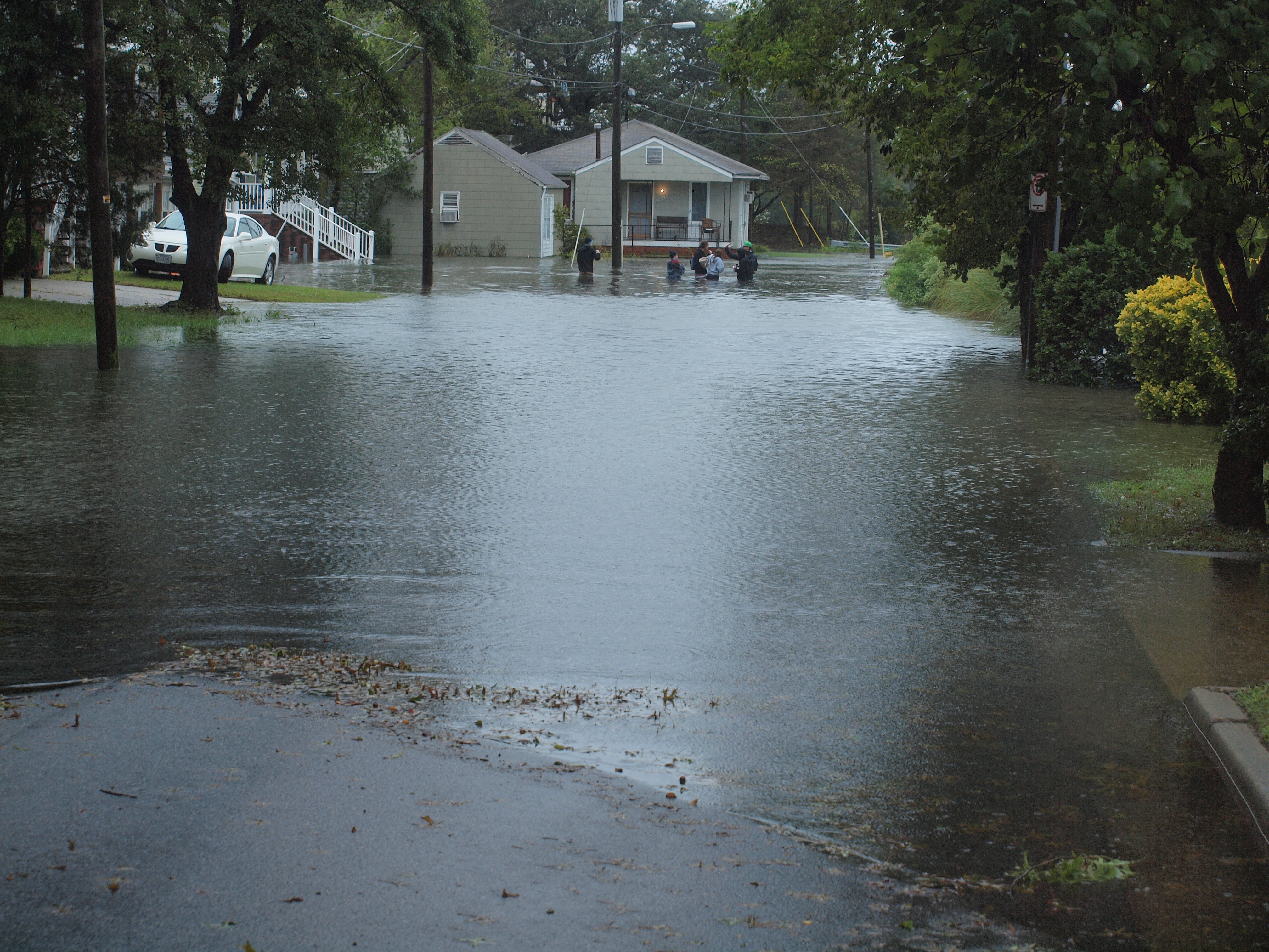
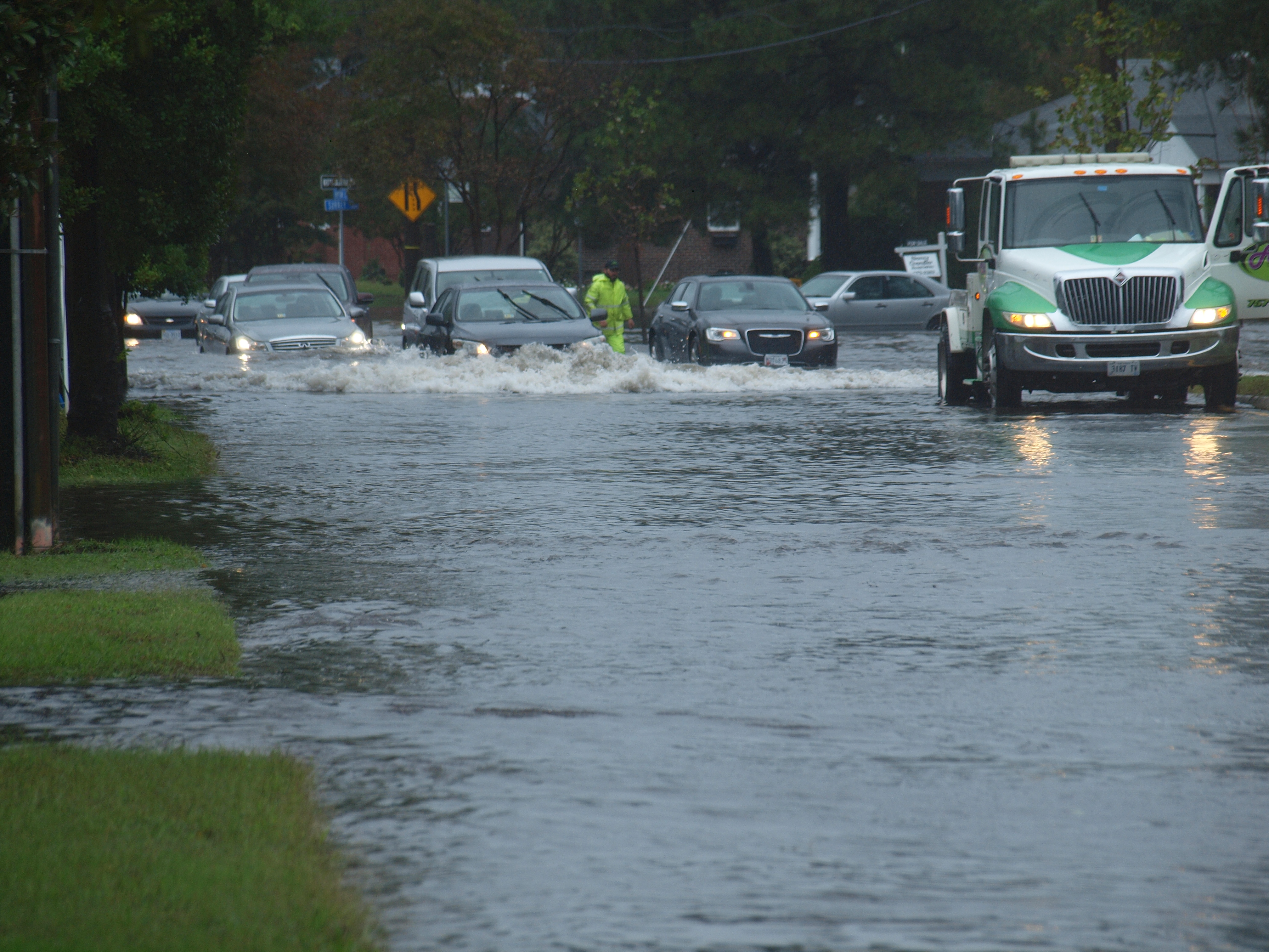
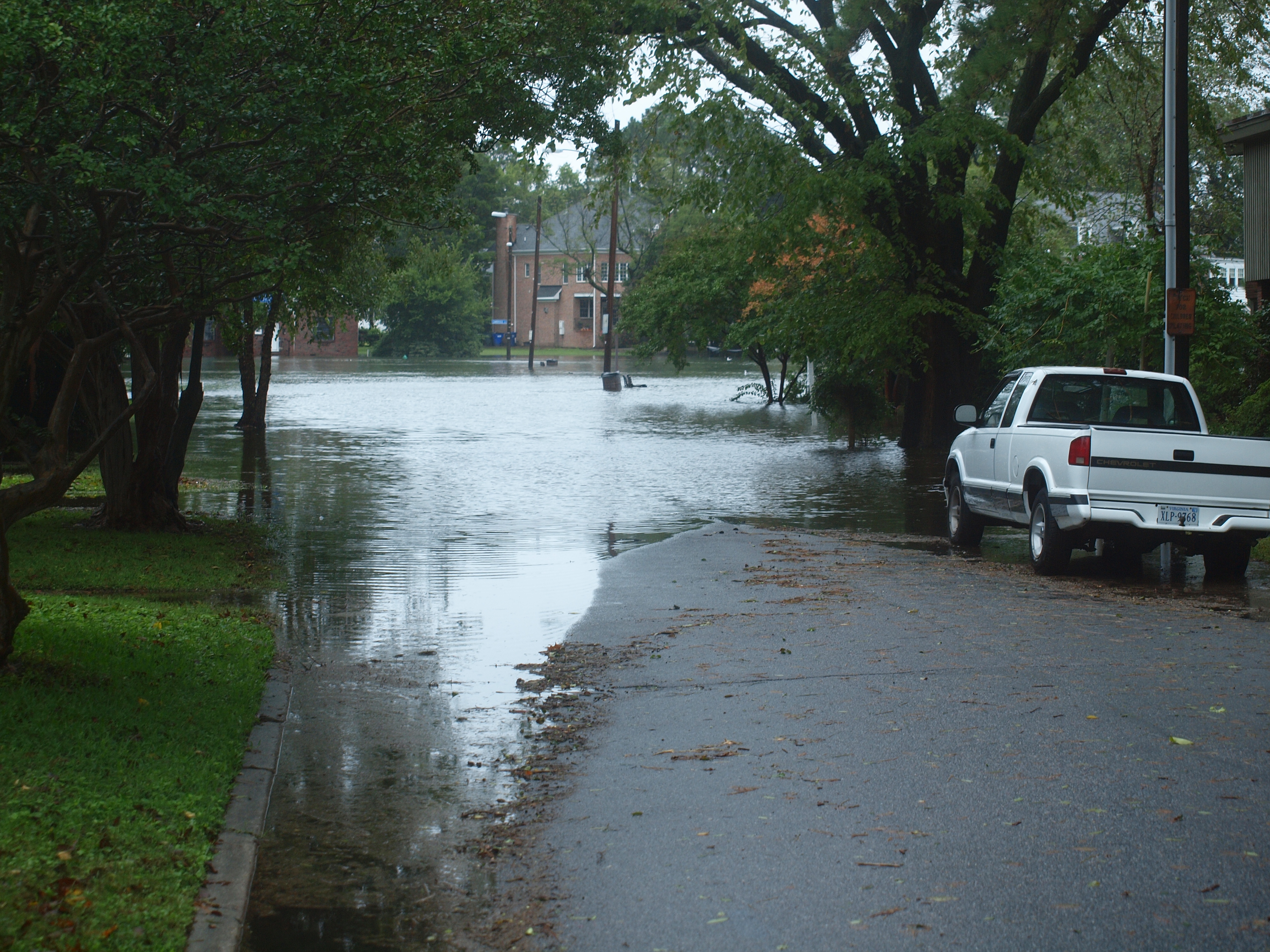
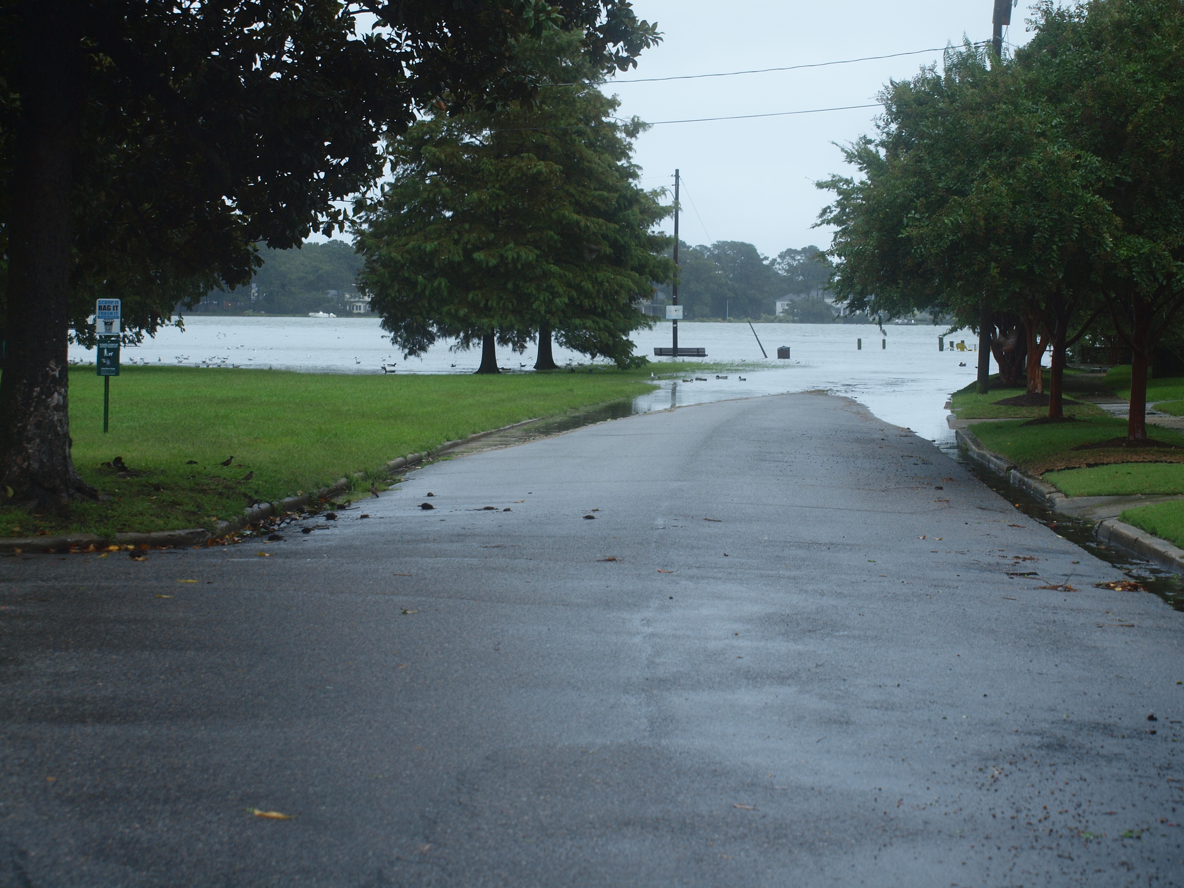
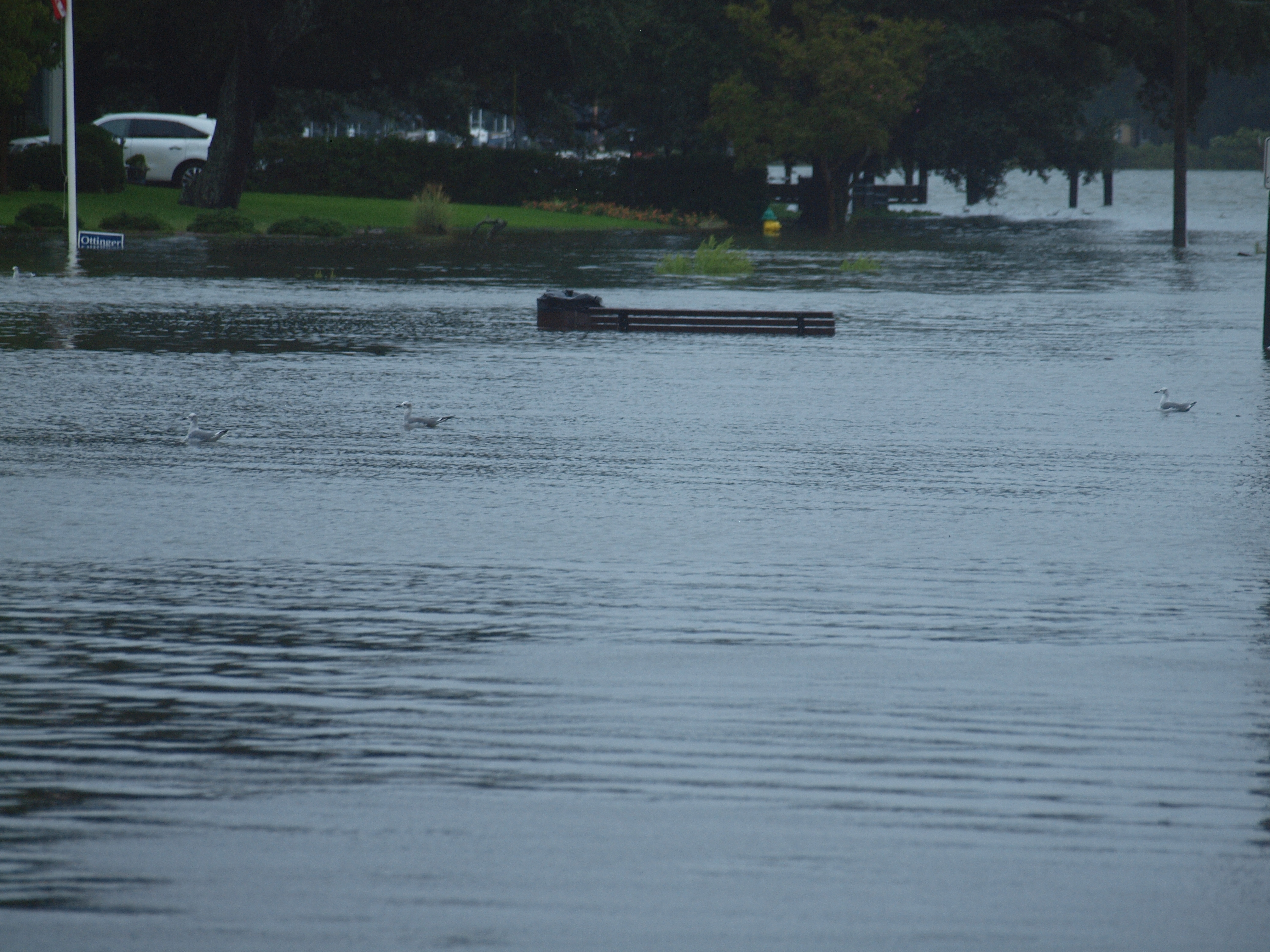
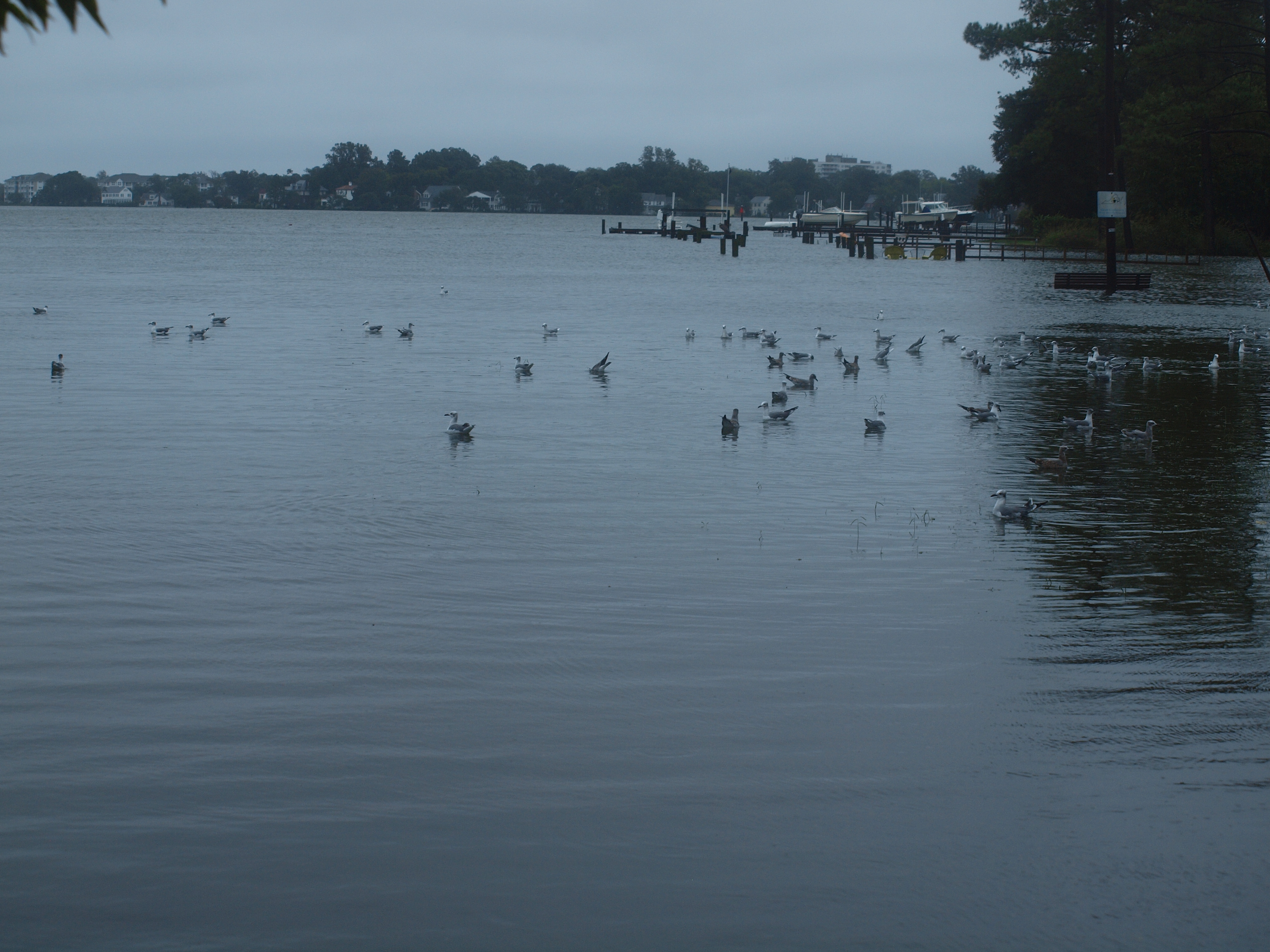
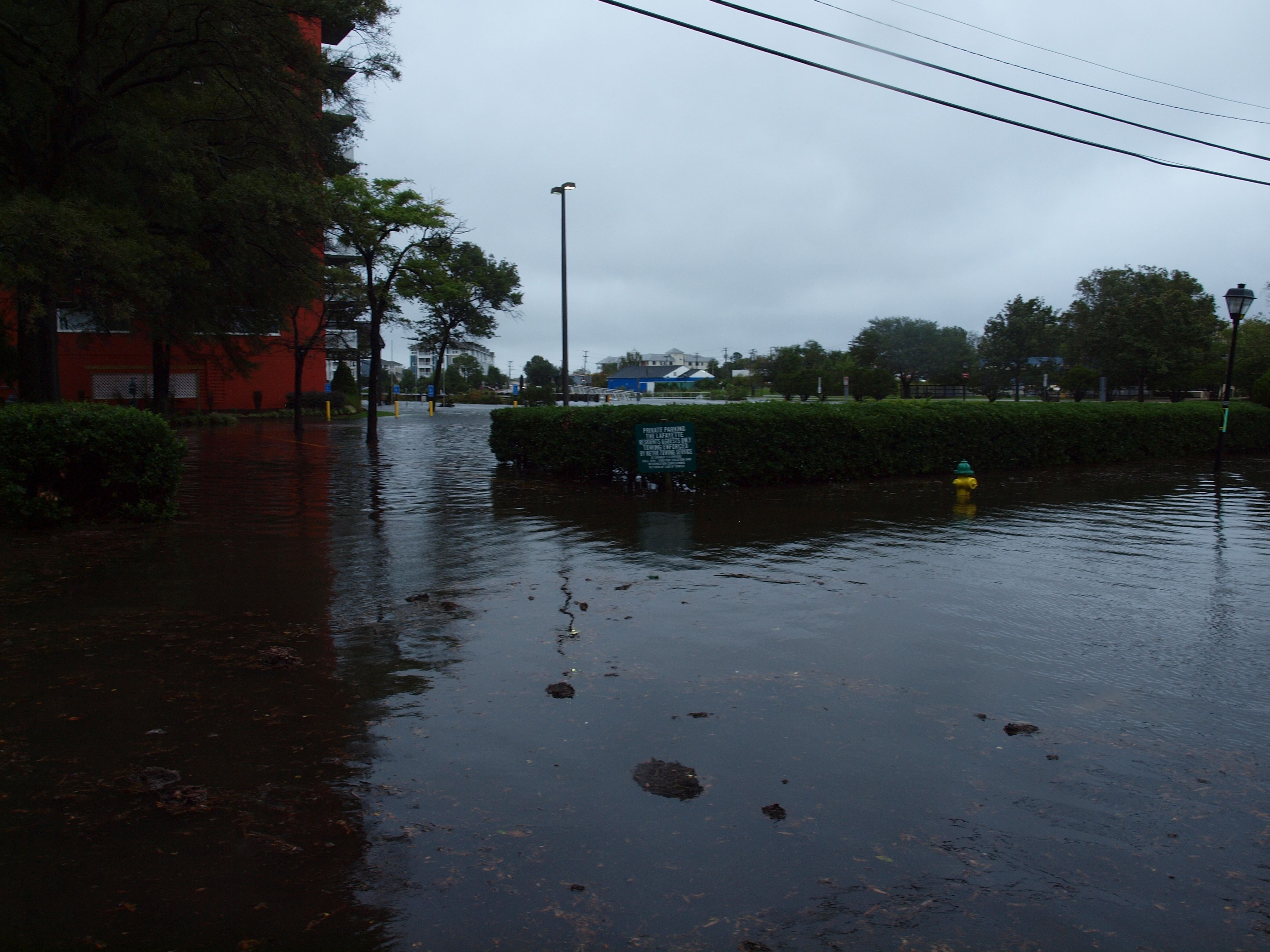
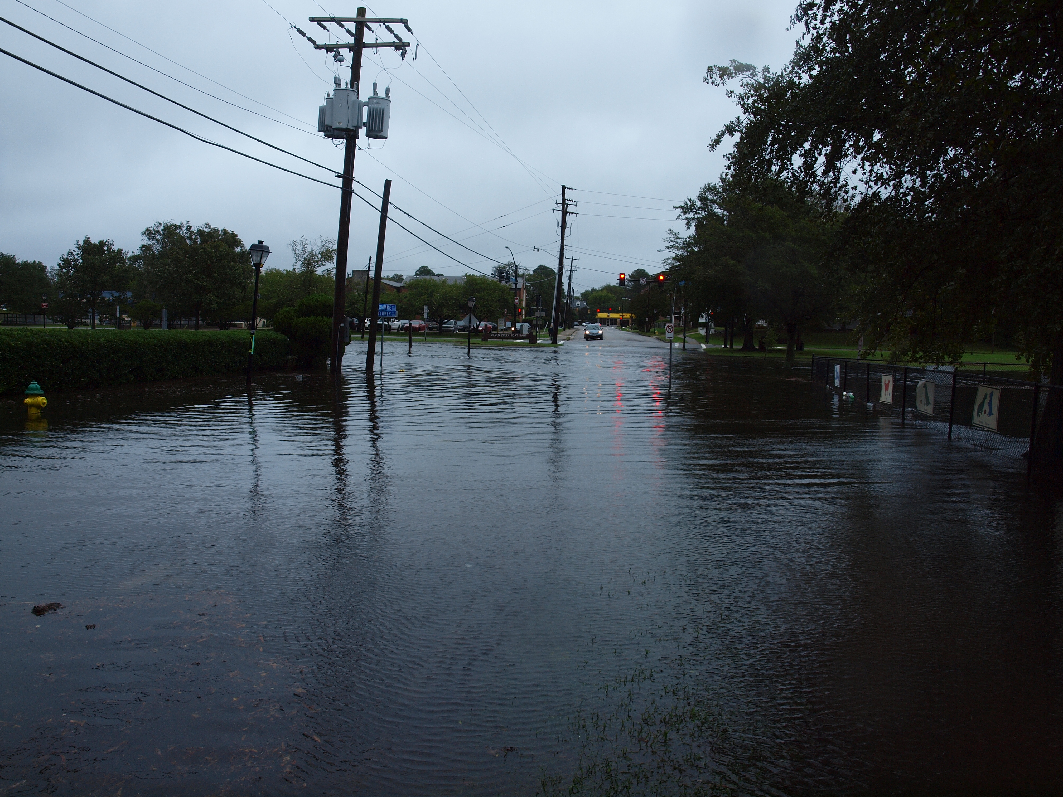
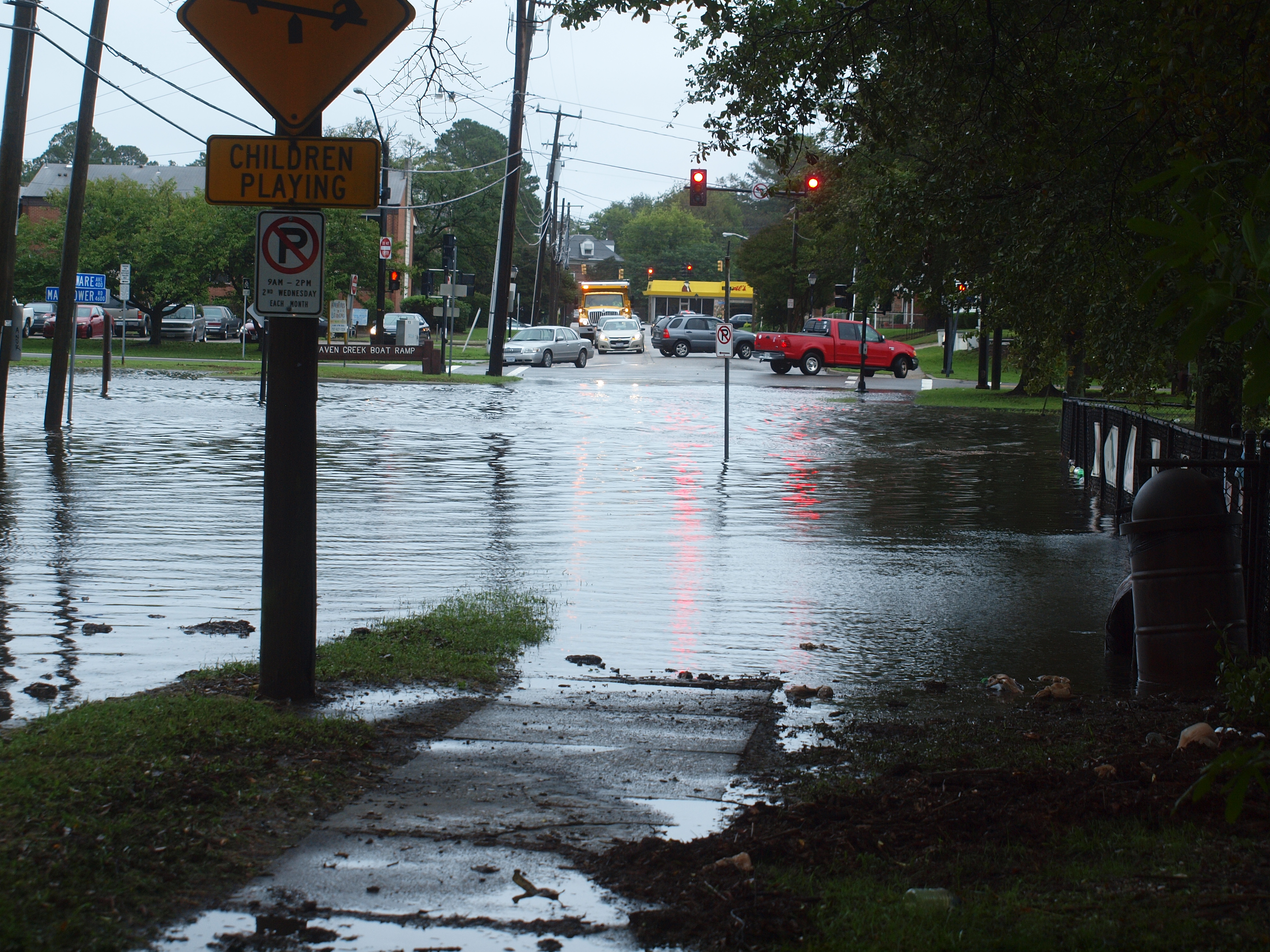
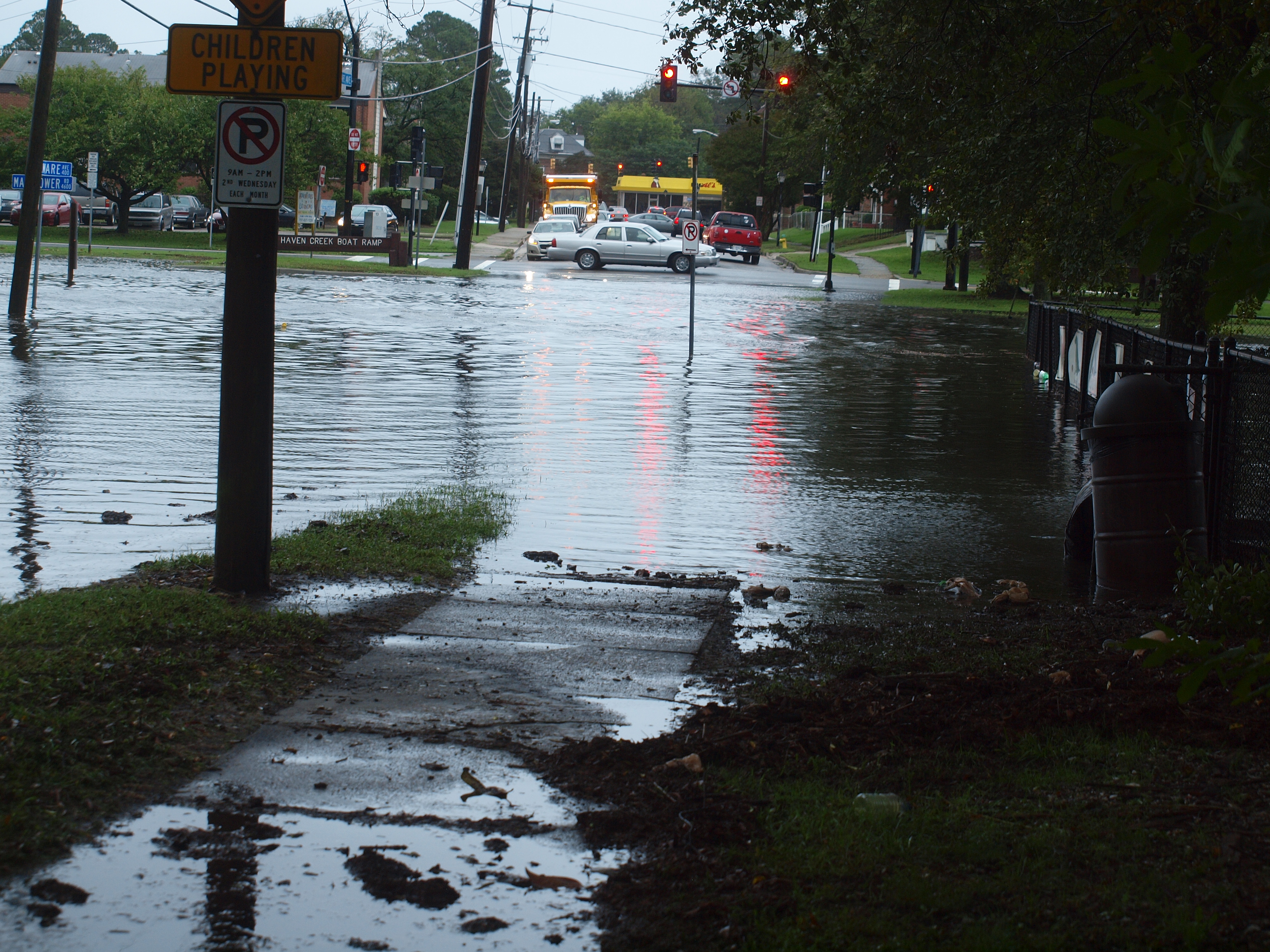
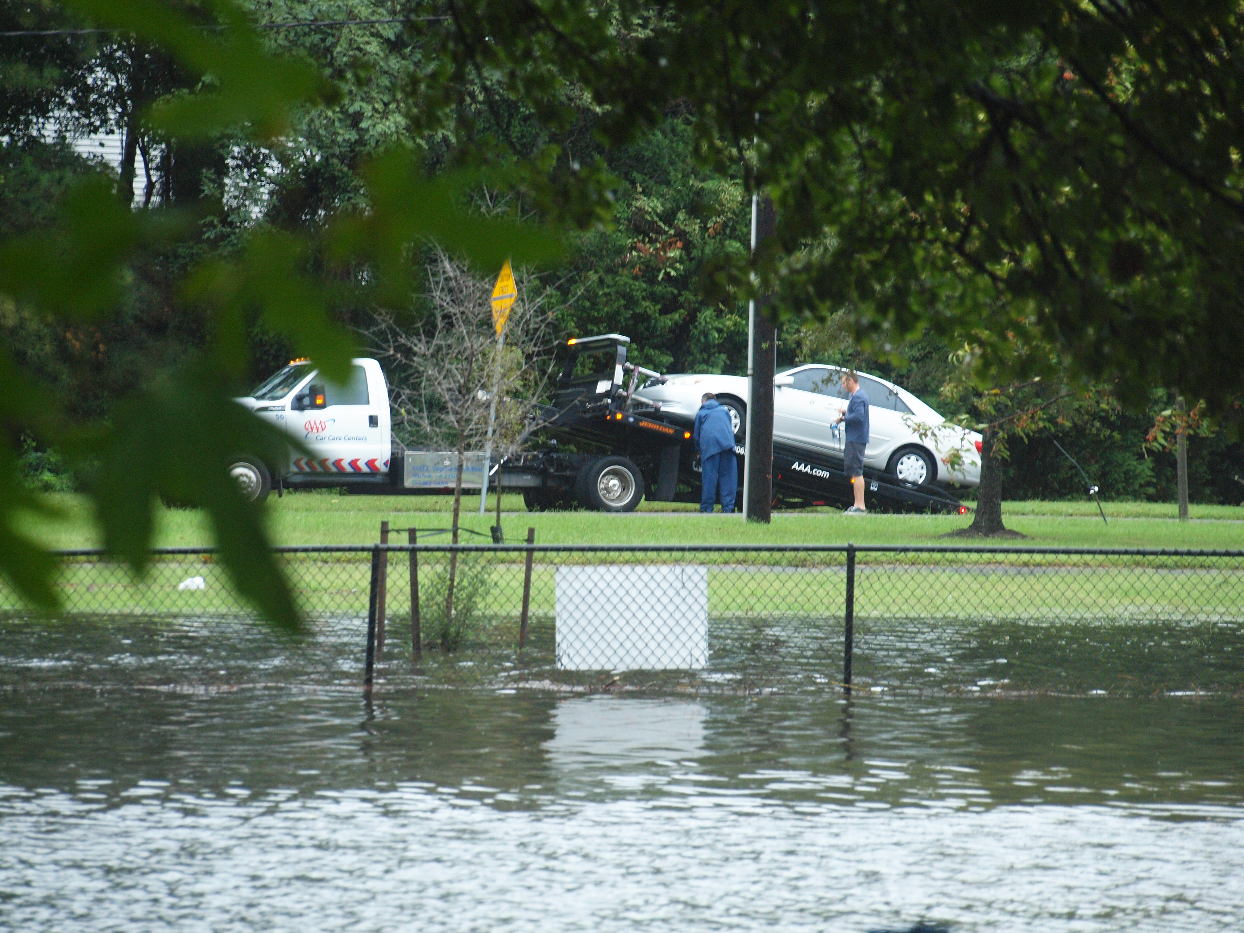
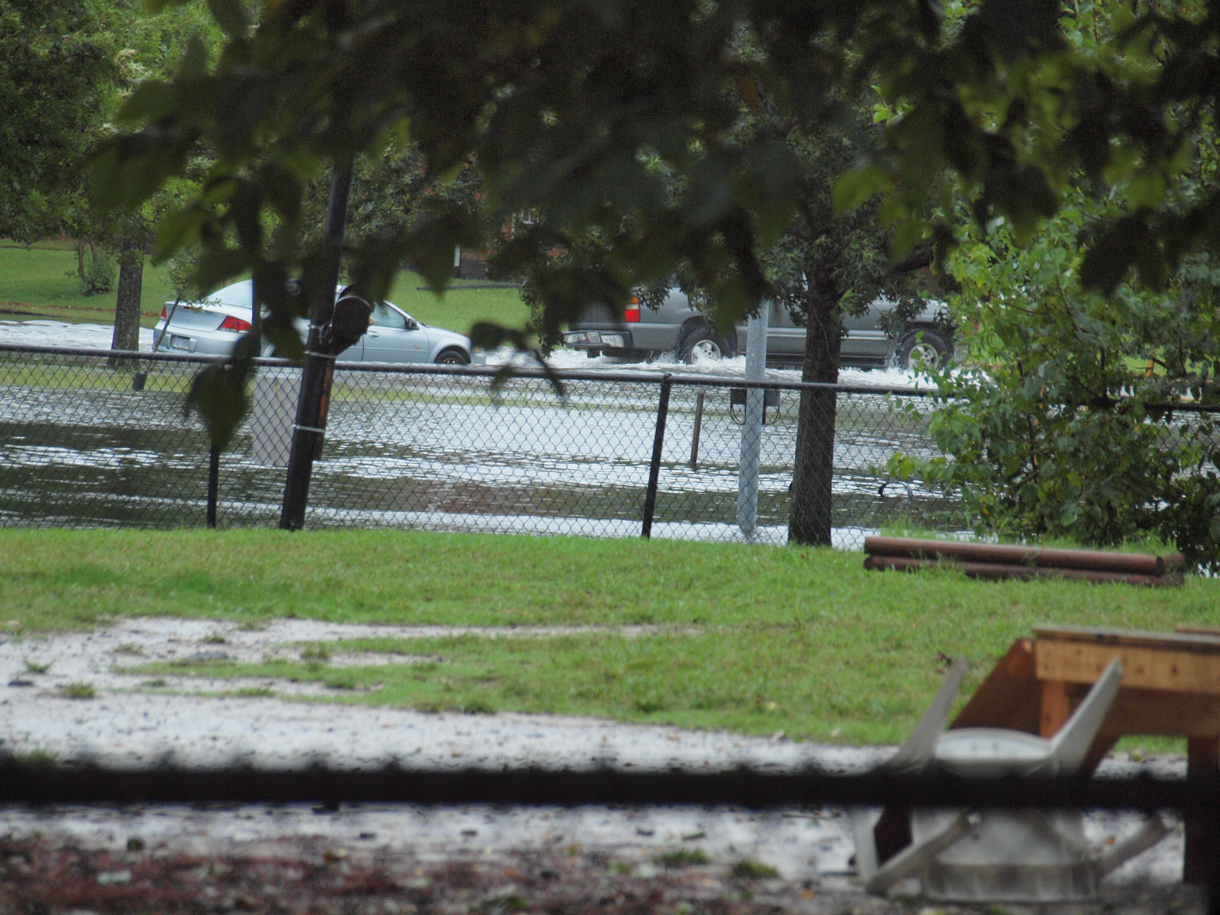
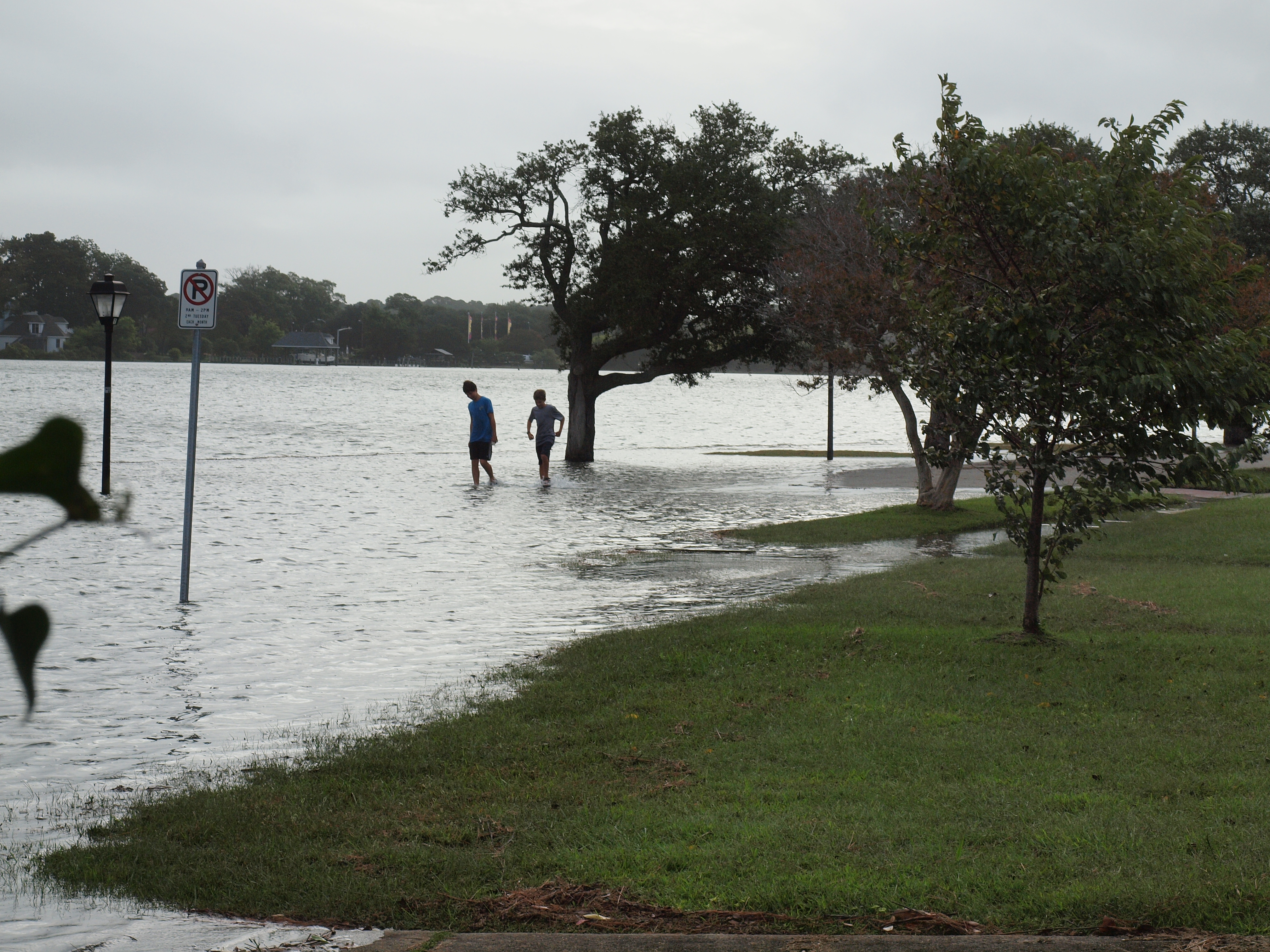
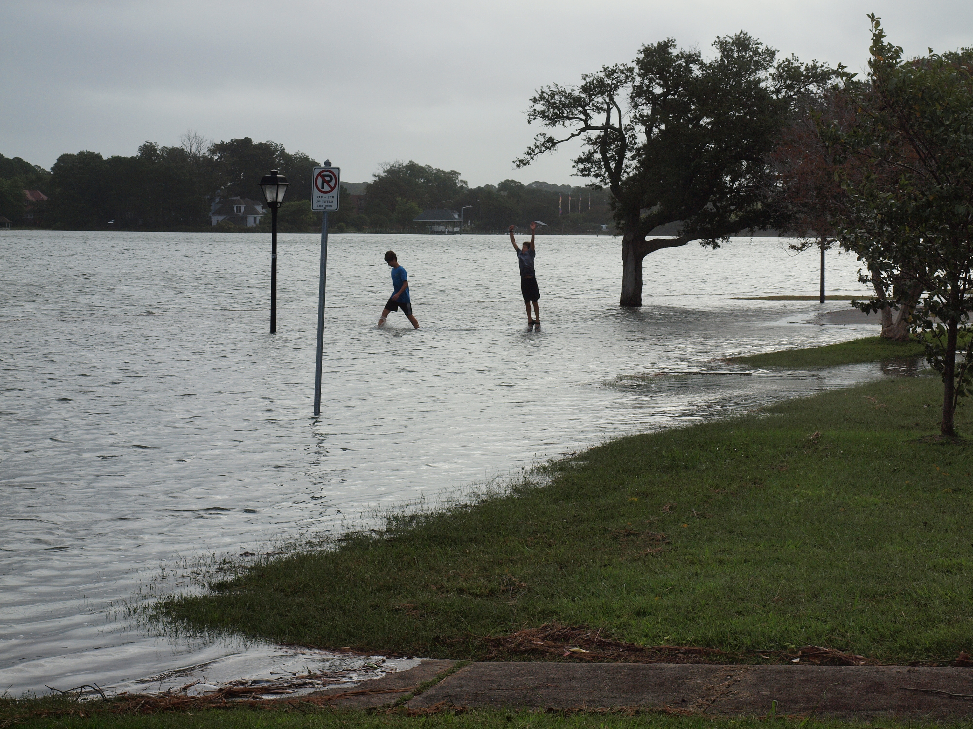
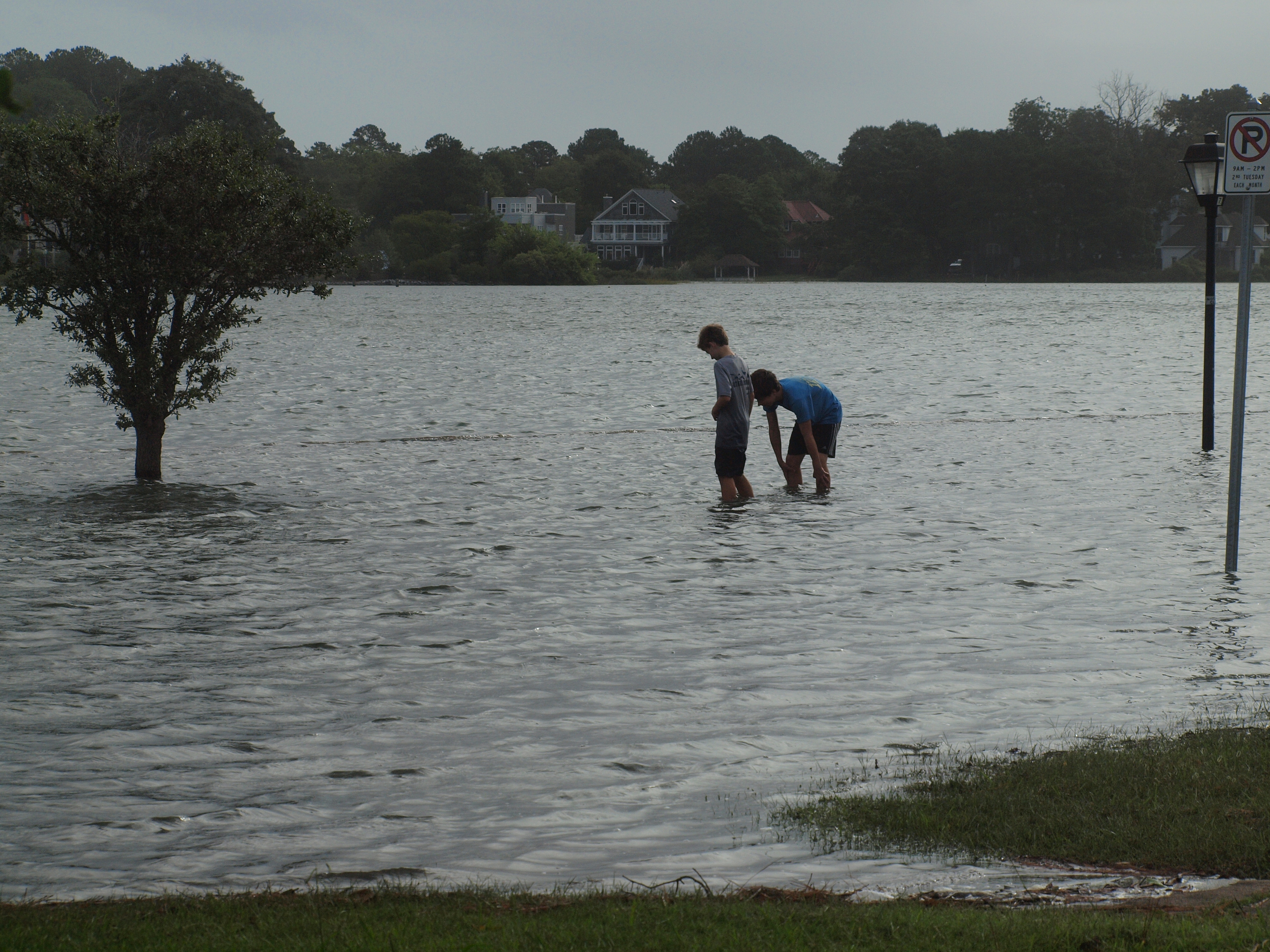
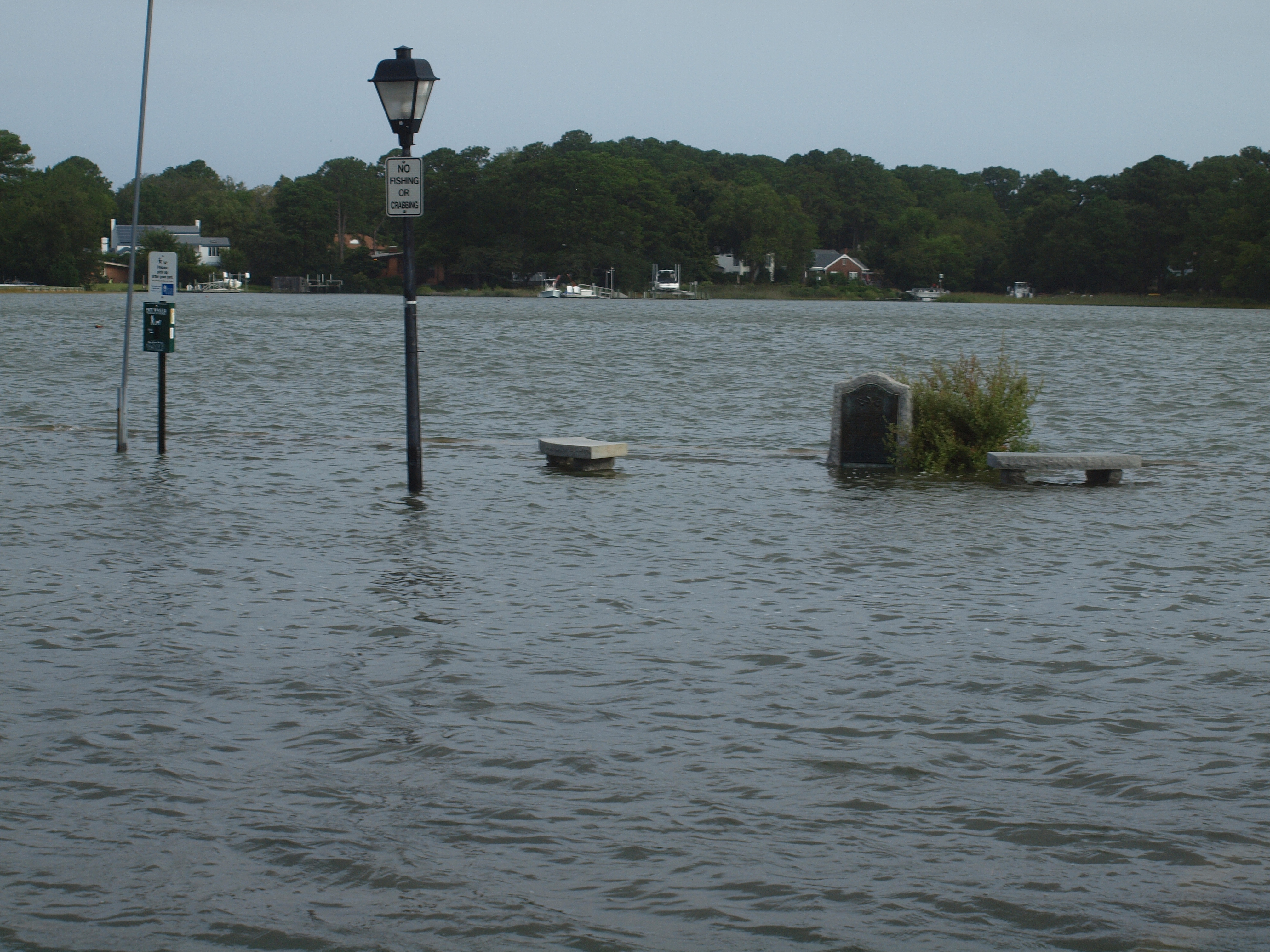
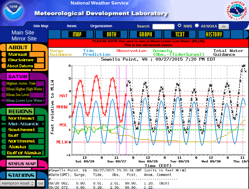
[September 27, 2015] Persistant north-easterly winds combine with large tides: Persistant north-easterly winds created a long-lasting surge of up to 2 feet, which in combination with large tides caused a sequence of flooding events at every high-tide. The pictures were taken in Colonial Place at about 9:00 AM on Sunday, September 27, 2015. At that time, the tide gauge at Sewells Point showed a water level of about 0.48 meters above HAT.
... |
... |

... |
... |
... |
... |
... |
... |

... |

... |

... |
... |
|
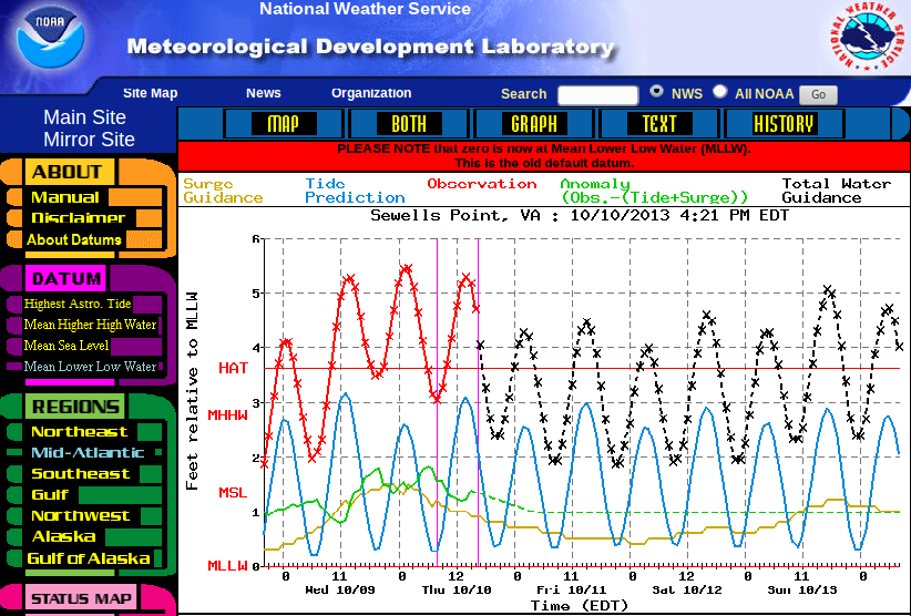
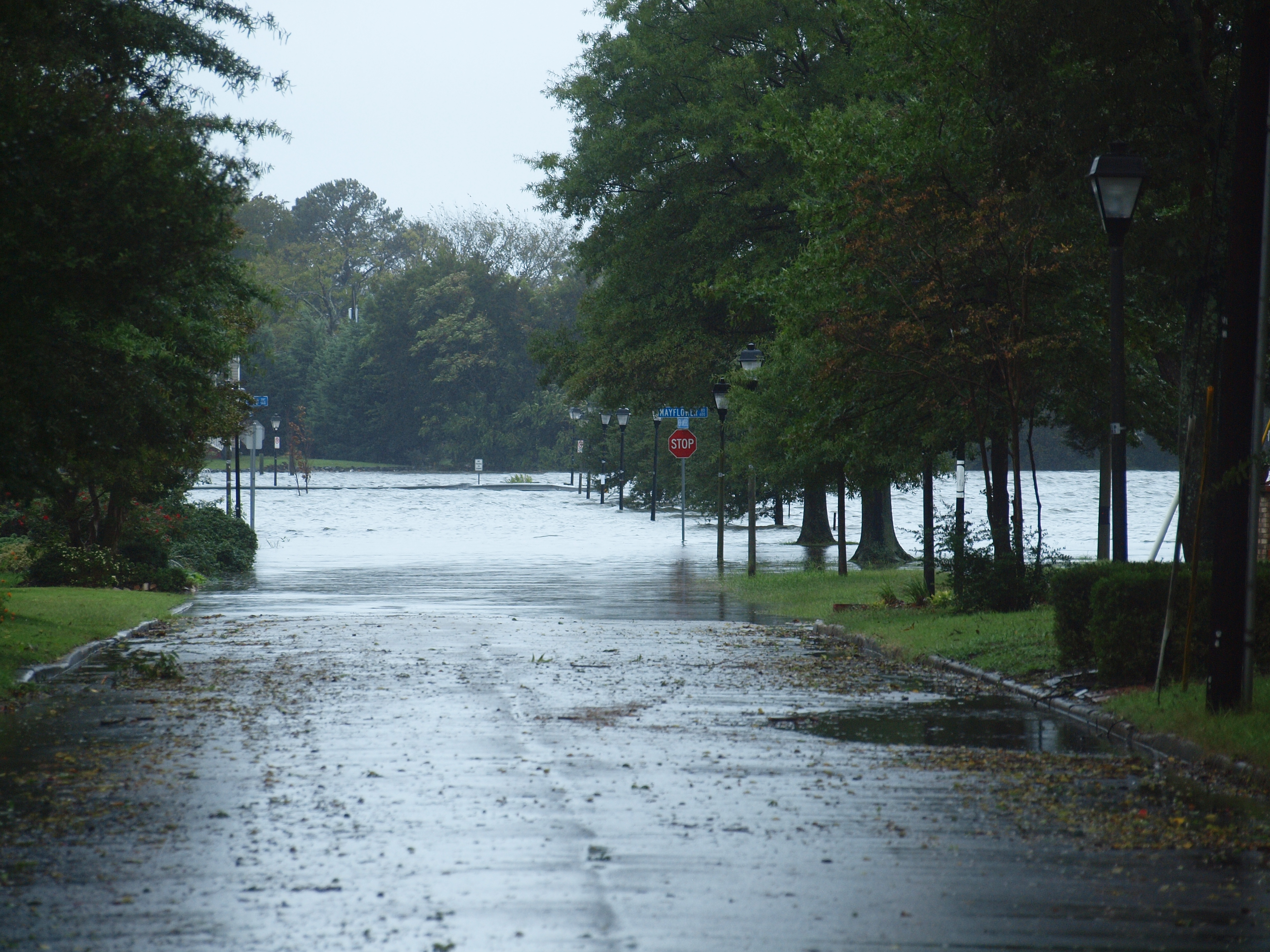
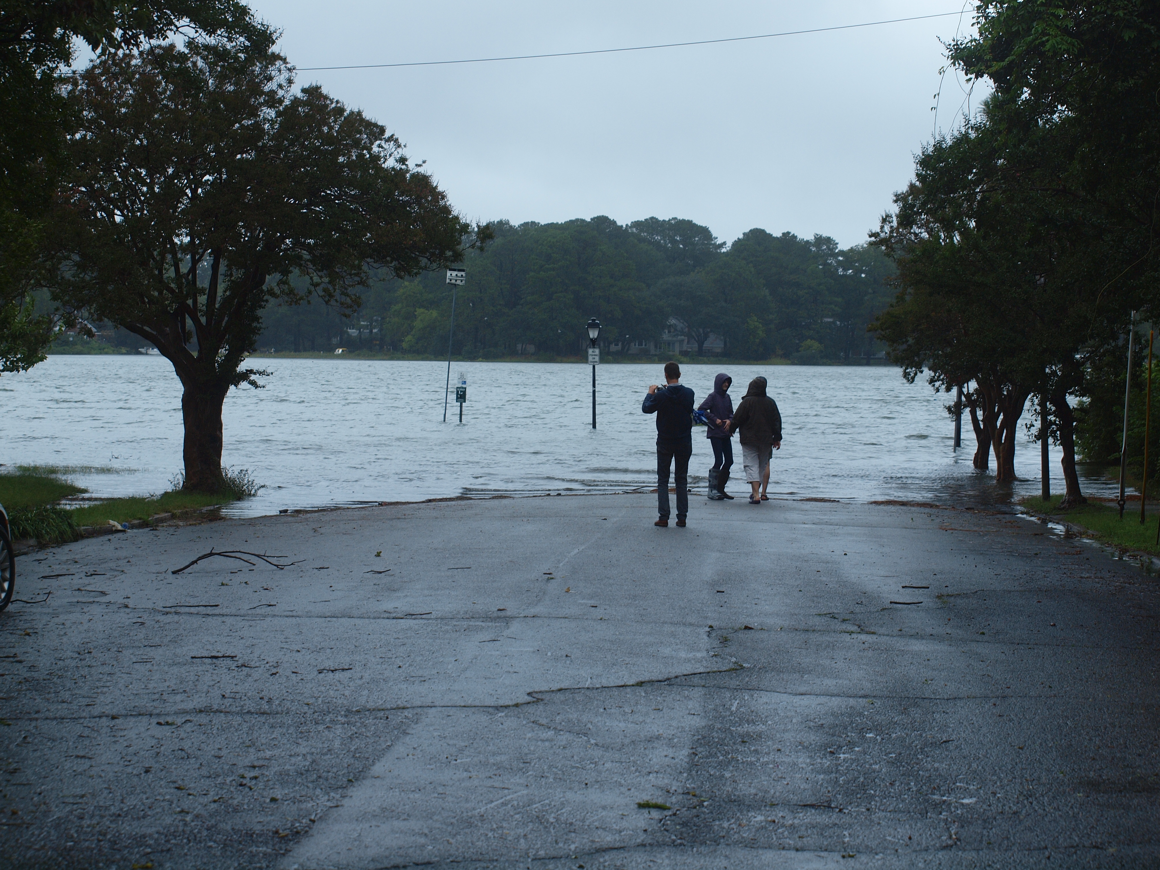
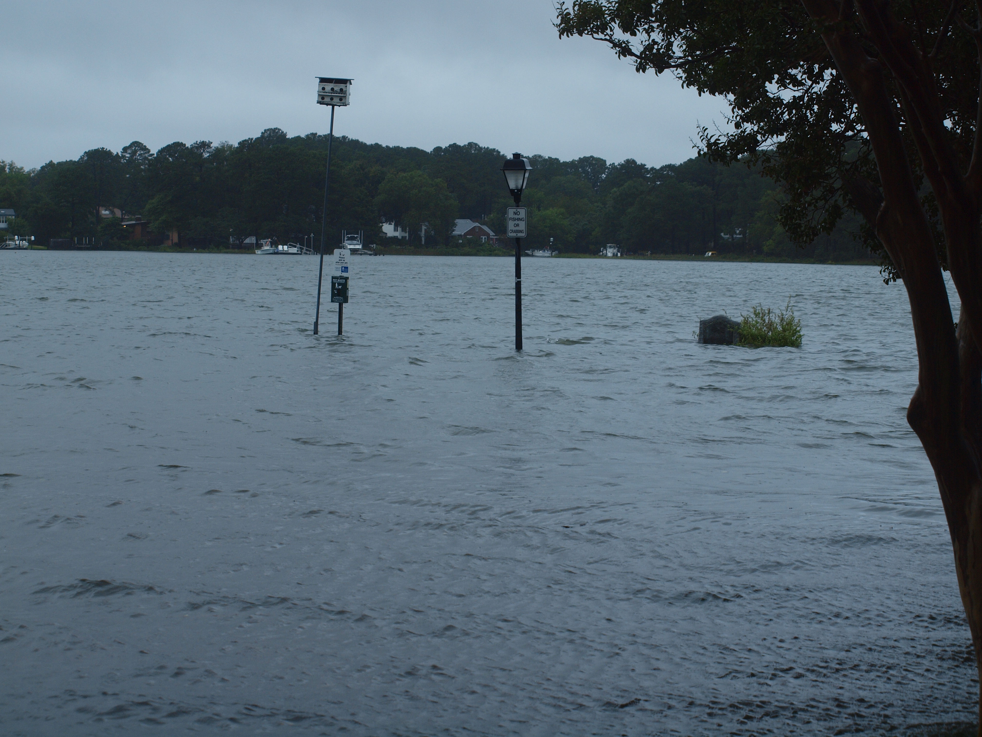
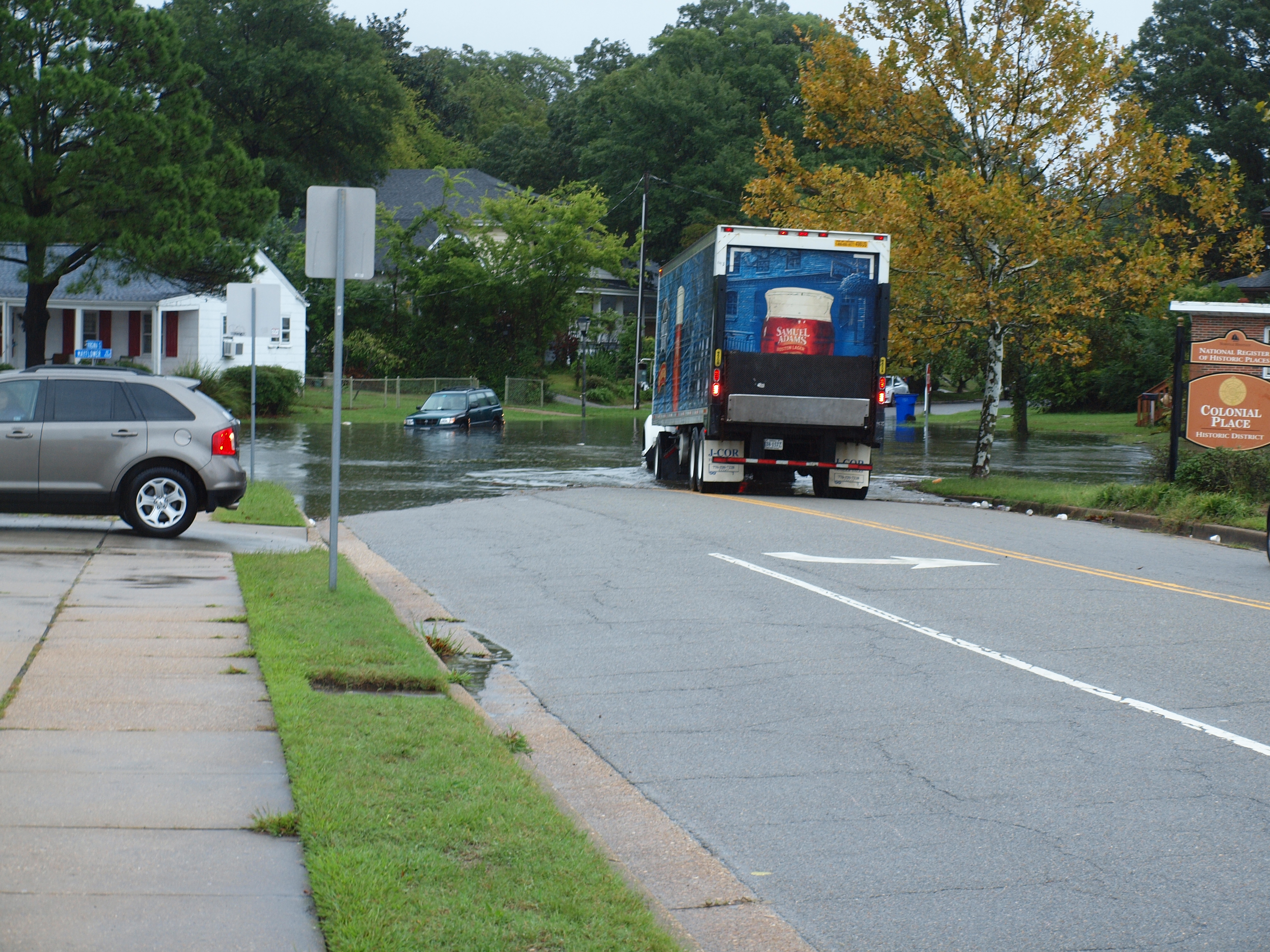
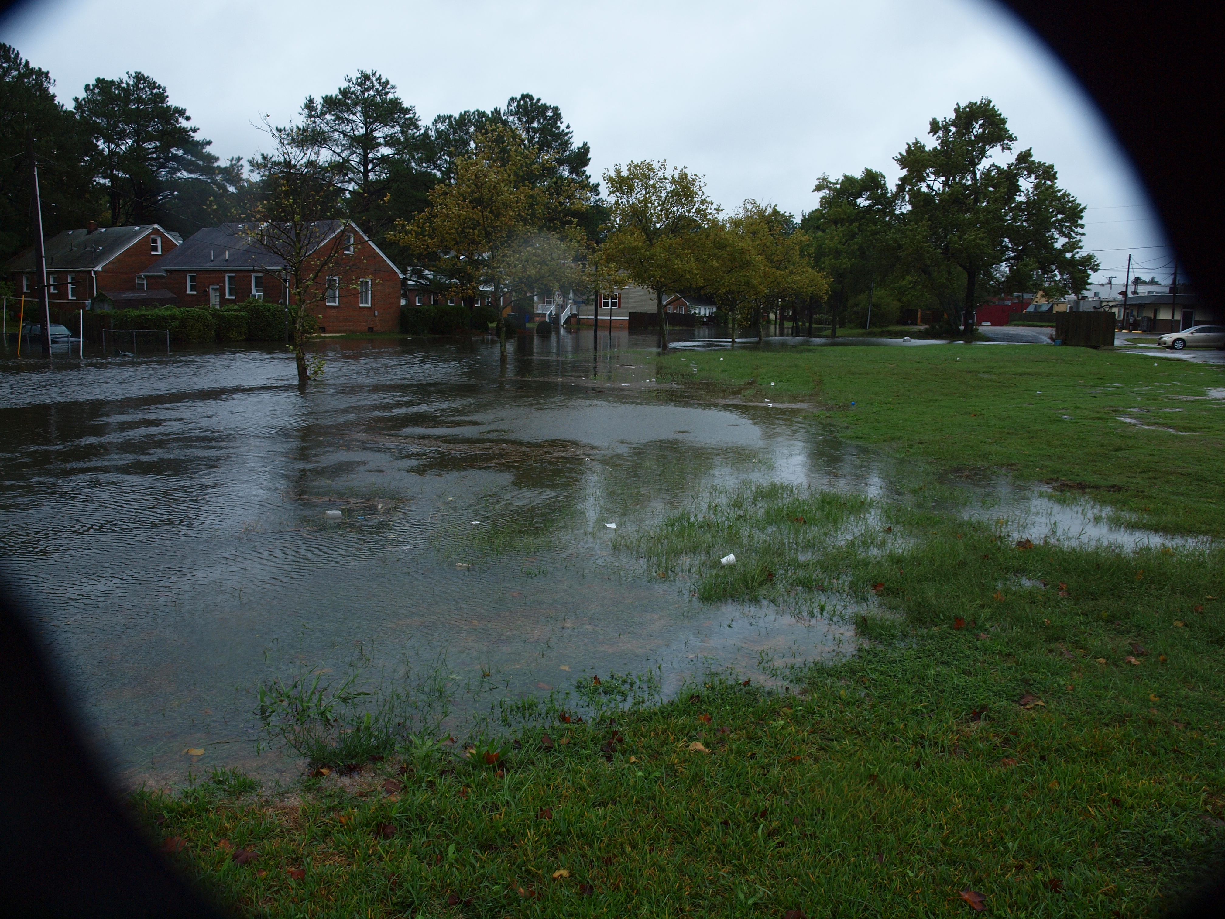
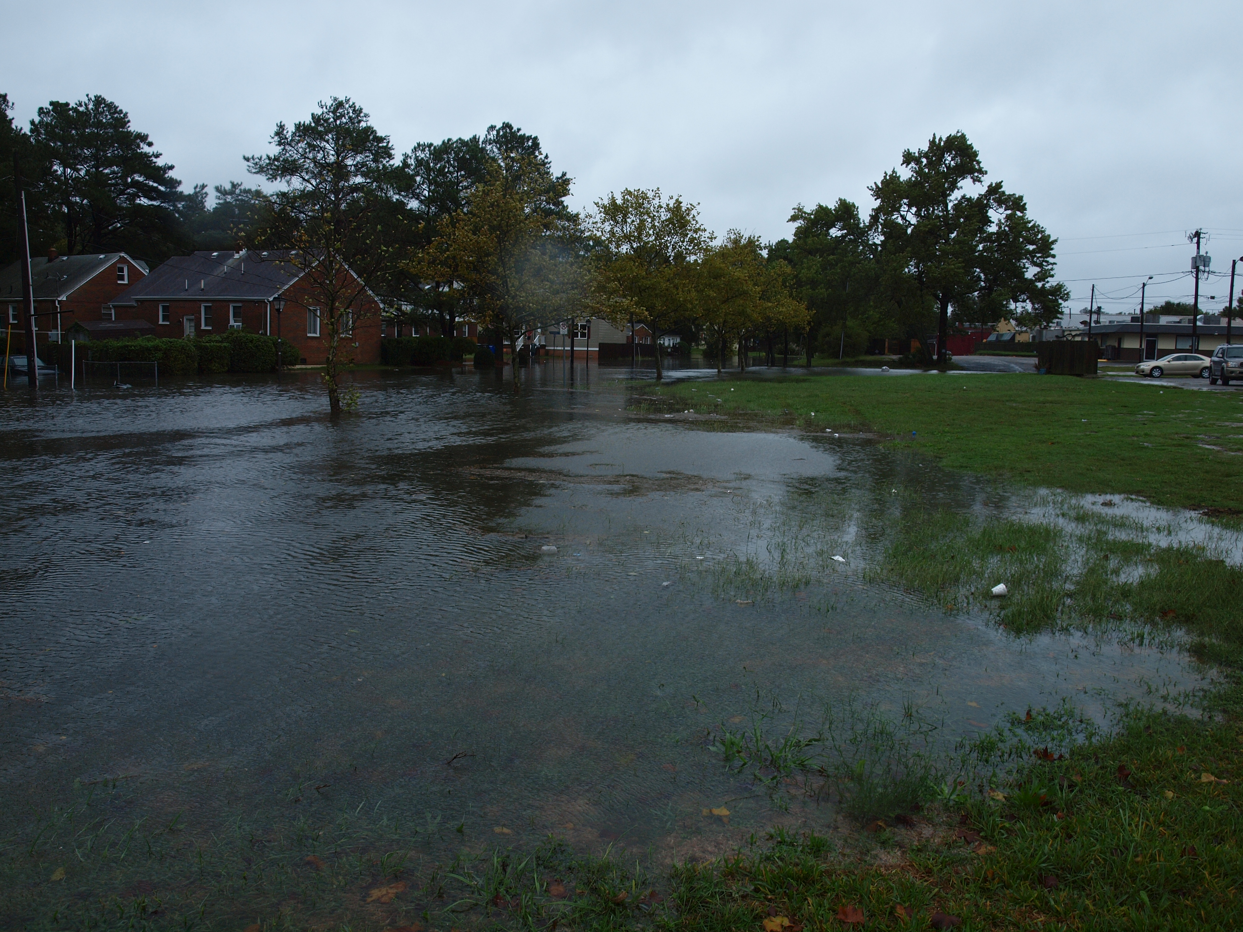
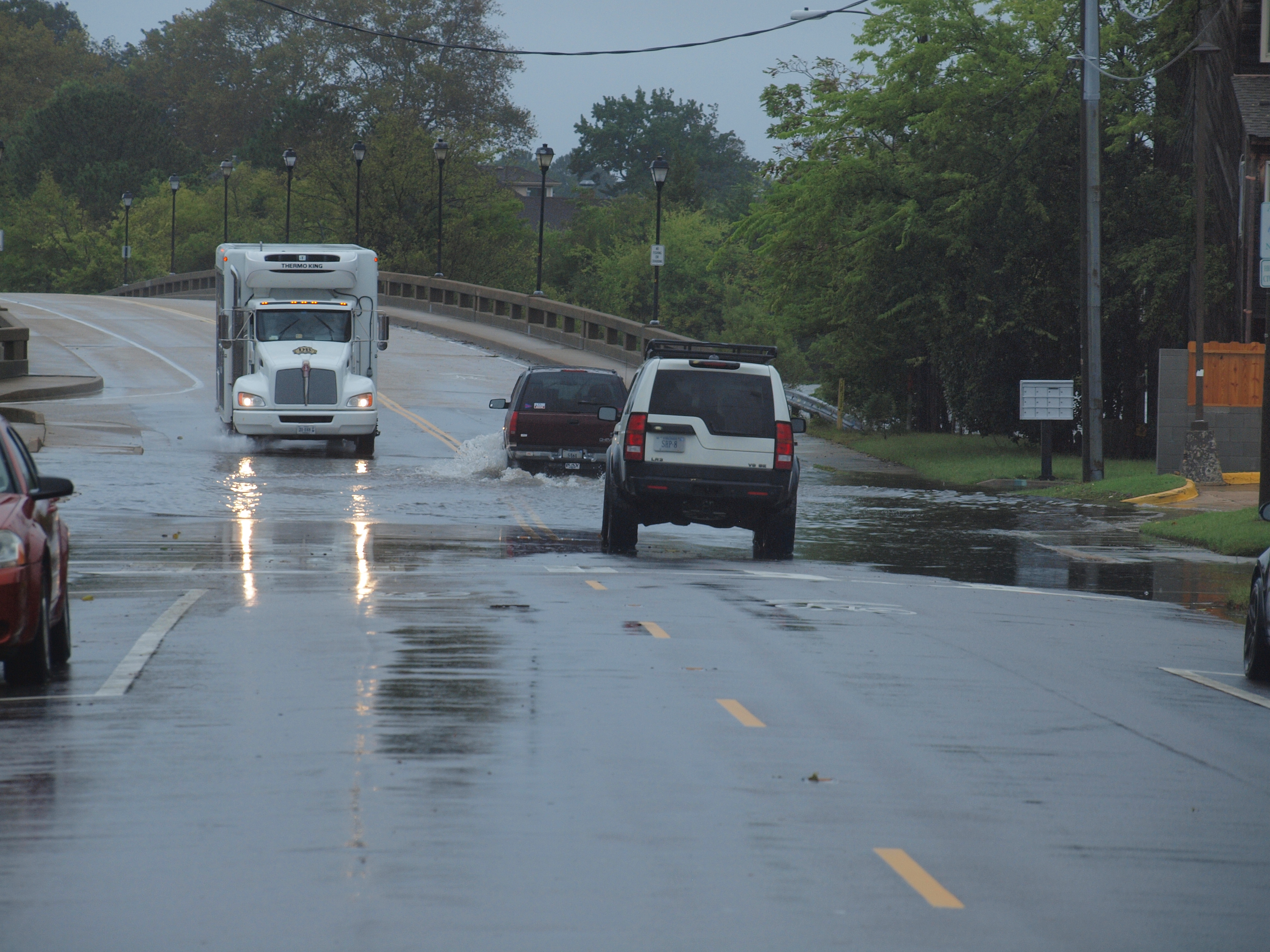
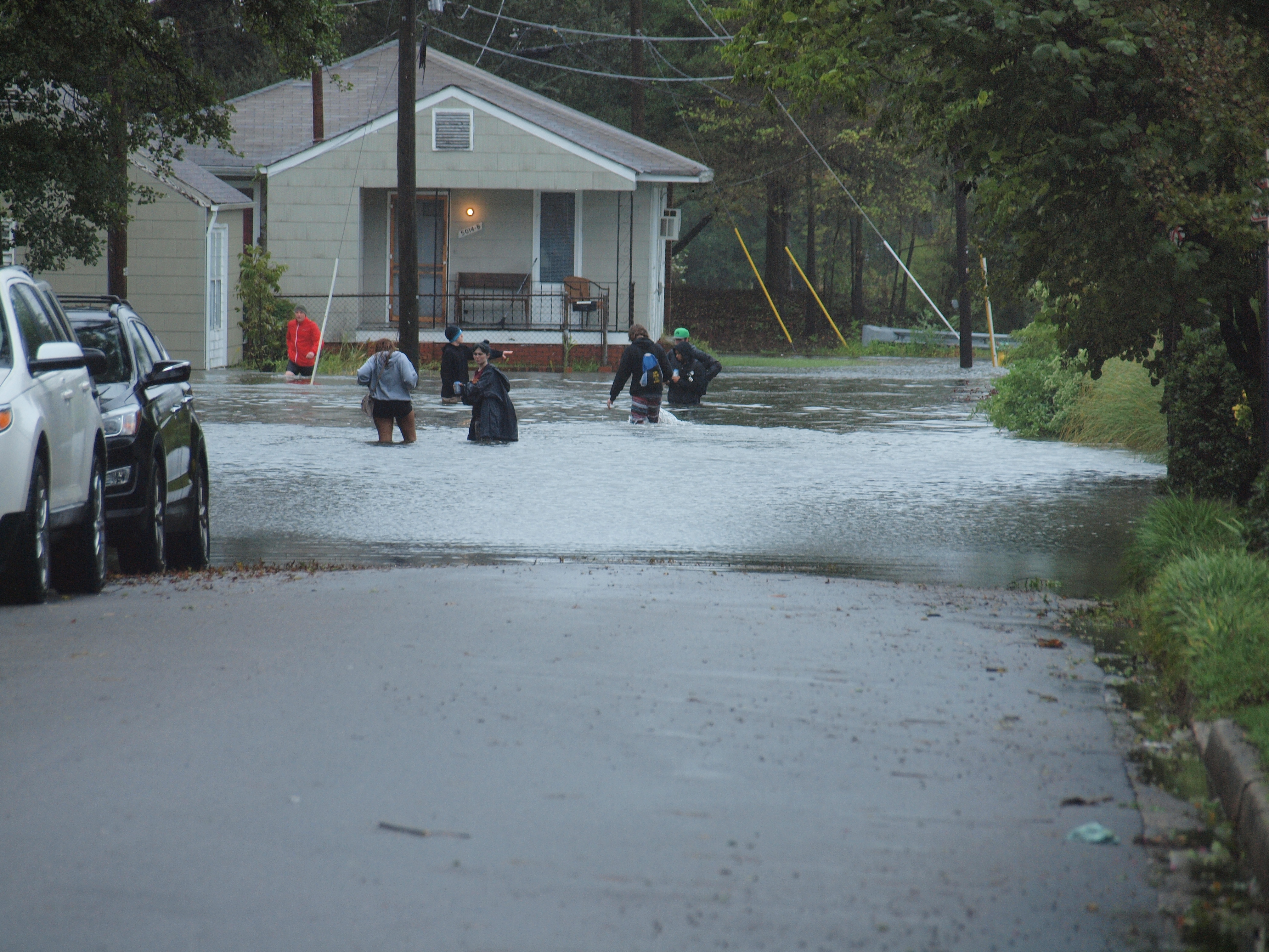
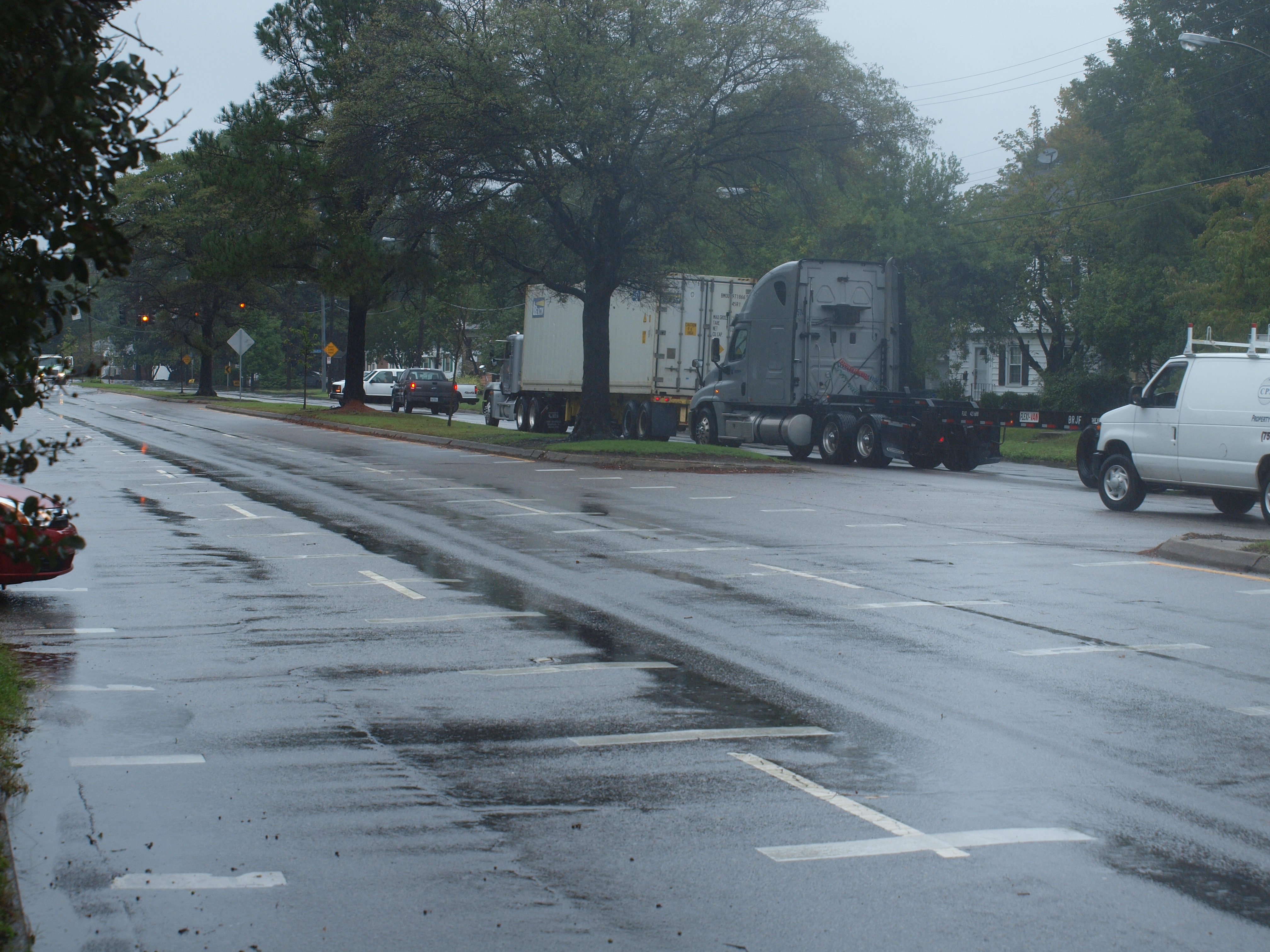
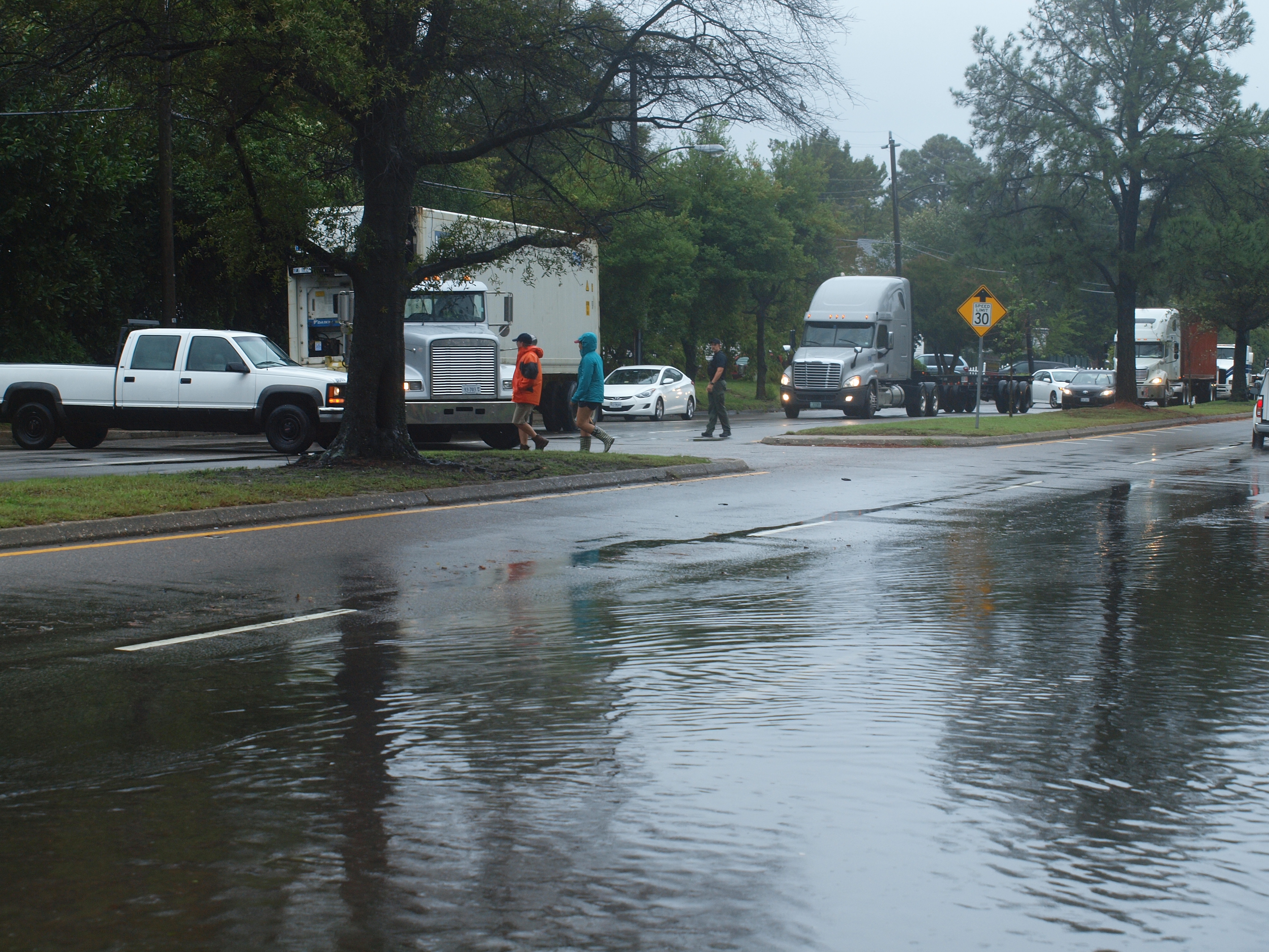
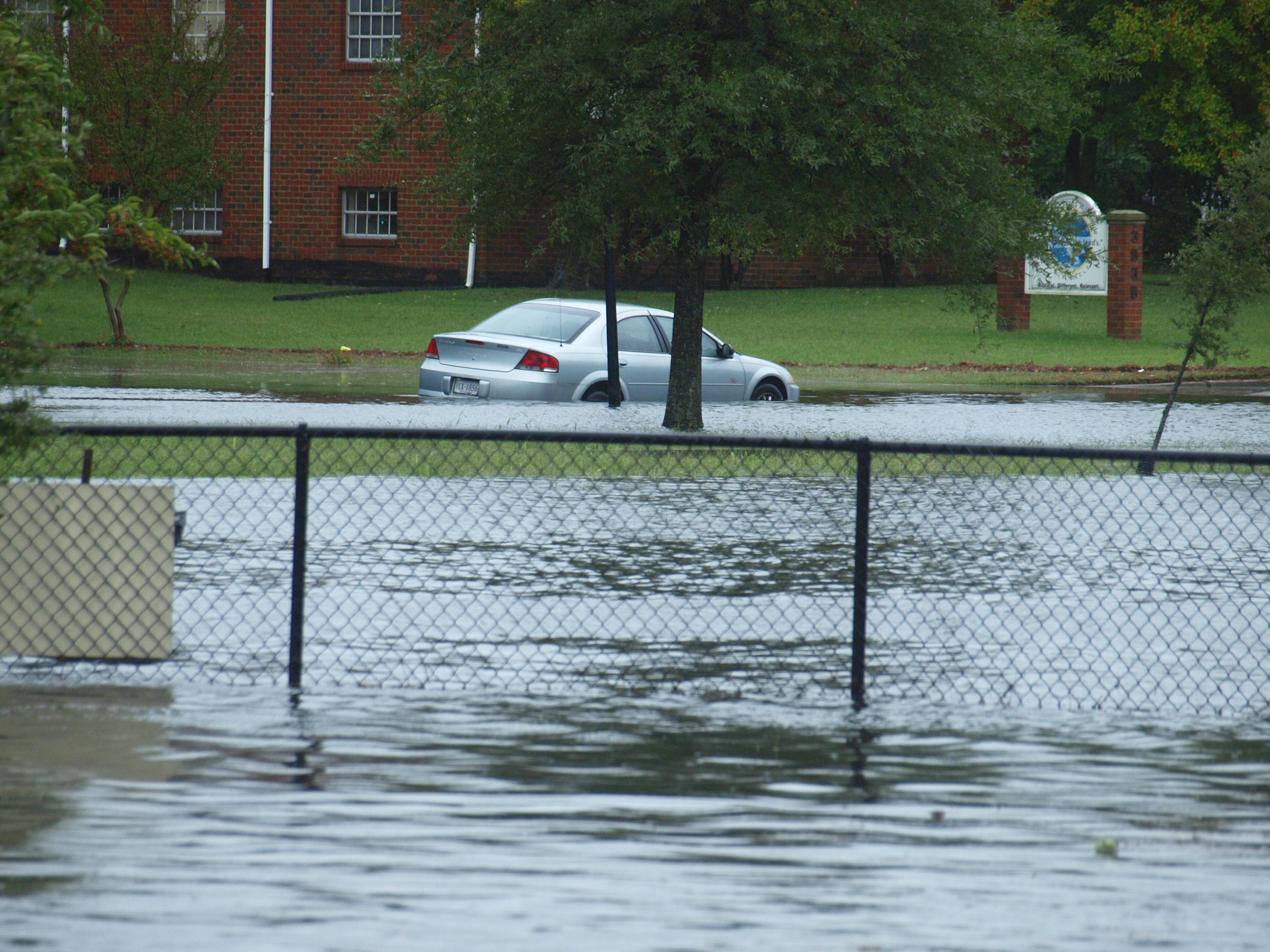
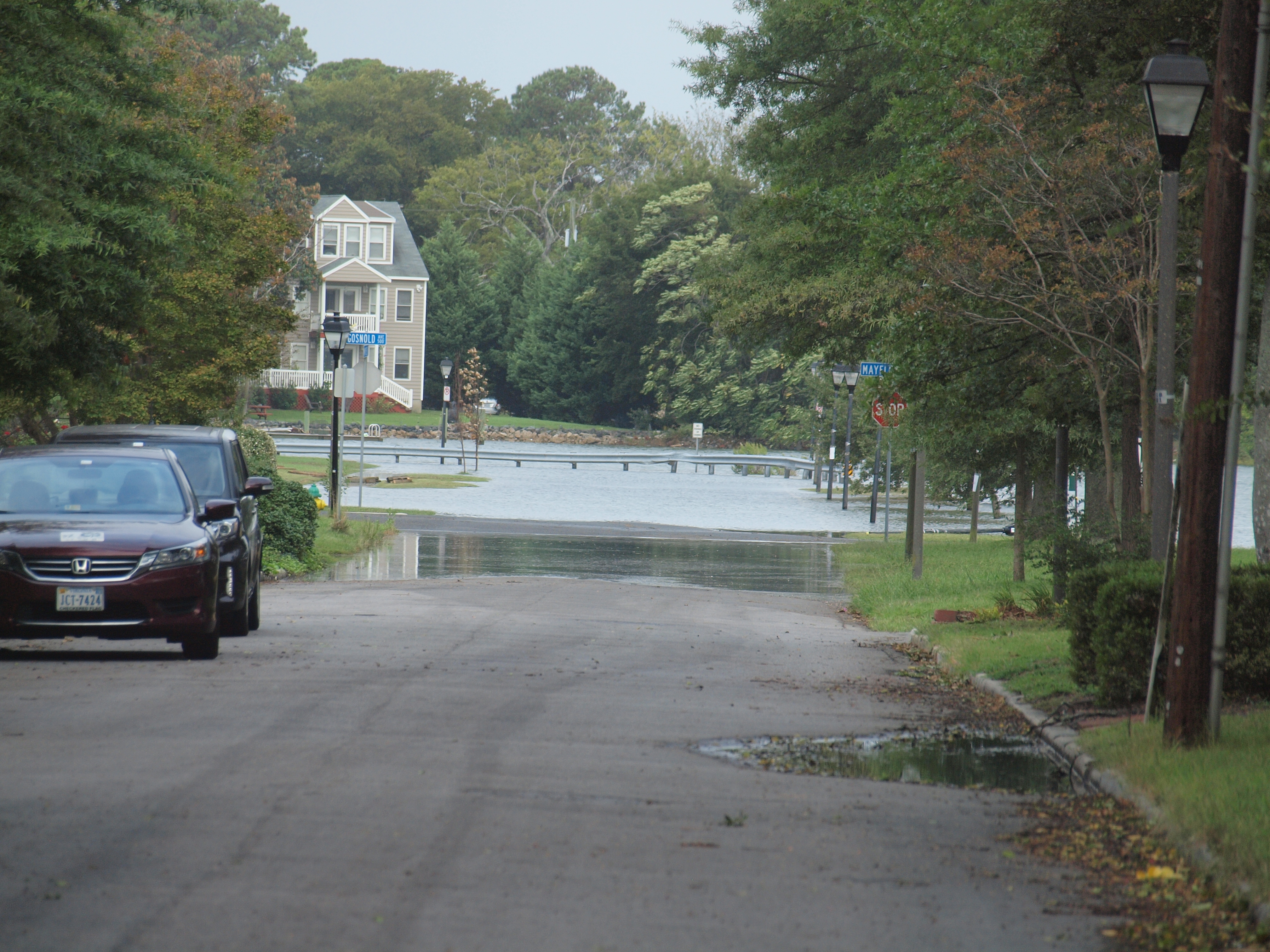
[October 10, 2013] Low pressure over the shelf off Virgina causes flooding during high tides: A series of three flooding periods on October 9-10, 2013 caused several floodings with the maximum at Sewalls Point reached in the night from October 9 to 10 with a water level 0.55 meters above HAT. The picture from the corner of W Olney Rd and Dundaff Street was taken at 2:48 PM on October 10, 2013, when water level at Sewalls point was about 0.48 meters above HAT. Repeated flooding will continue during hight tides for several days at a slightly lower level. |

|